Lowell in Lane County, Oregon — The American West (Northwest)
Frontier Life
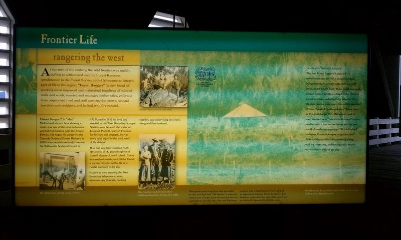
Rangering the West
District Ranger C.B. "Mac" McFarland, shown here shoeing a mule, was one of the most influential and beloved rangers with the Forest Service. He began his career on the Cascade National Forest Reserve in 1909 (what would eventually become the Willamette National Forest in 1933), and in 1912 he lived and worked at the West Boundary Ranger Station, now beneath the water of Lookout Point Reservoir. Famous for his size and strength, he was more than equal to the hard work of his district.
Mac met and later married Ruth Hyland in 1918, granddaughter of Lowell pioneer Amos Hyland. It was an excellent match, in Ruth he found a partner who loved the life of a ranger as much as he did.
Ruth was soon running the West Boundary telephone system, administering first aid, packing supplies, and supervising fire crews along with her husband.
Practical vs Technical Rangers
The first Forest Reserve Rangers were frontiersmen and cowboys, chosen for their independence, woodcraft skills, strength, and ability to get the job done. These rough-and-ready rangers were gradually replaced in the 1930s by young men educated in forestry schools. The old-style rangers were more than a little skeptical of these "handy-legged bugologists." Some, such as Practical Ranger C.B. McFarland, took it upon themselves to "rub a little Harvard" off the newbies with a few intense forays into the real world of hands-on rangering. C.B. McFarland and other Practical Rangers taught the new Technical Rangers life skills; shooting, riding, cooking, surveying, and reading cattle brands were common skills of the day.
Topics. This historical marker is listed in these topic lists: Horticulture & Forestry • Settlements & Settlers. A significant historical year for this entry is 1909.
Location. 43° 54.542′ N, 122° 46.767′ W. Marker is in Lowell, Oregon, in Lane County. Marker can be reached from S Pioneer St. Touch for map. Marker is in this post office area: Lowell OR 97452, United States of America. Touch for directions.
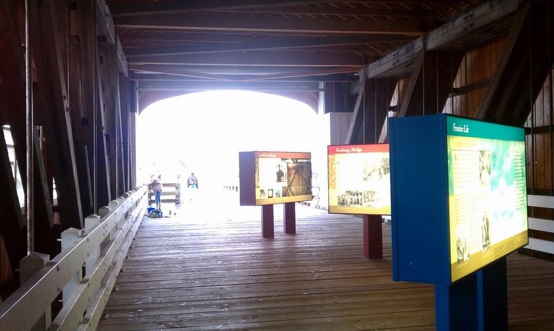
Other nearby markers. At least 8 other markers are within 9 miles of this marker, measured as the crow flies. A different marker also named Frontier Life (here, next to this marker); Lowell Prospers (here, next to this marker); a different marker also named Lowell Prospers (here, next to this marker); Building a Bridge (a few steps from this marker); Lowell Covered Bridge (a few steps from this marker); Touring the Past (about 300 feet away, measured in a direct line); Elijah Bristow (approx. 8.7 miles away); Bristow Monument (approx. 8.7 miles away). Touch for a list and map of all markers in Lowell.
Credits. This page was last revised on January 20, 2018. It was originally submitted on January 18, 2018, by Douglass Halvorsen of Klamath Falls, Oregon. This page has been viewed 129 times since then and 10 times this year. Photos: 1, 2. submitted on January 18, 2018, by Douglass Halvorsen of Klamath Falls, Oregon. • Bill Pfingsten was the editor who published this page.

