Bonanza in Klamath County, Oregon — The American West (Northwest)
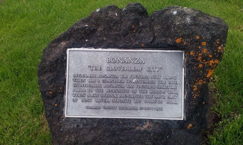
Bonanza
"The Cloverleaf City"
Erected 1973 by Klamath County Historical Society.
Topics. This historical marker is listed in this topic list: Settlements & Settlers. A significant historical date for this entry is July 11, 1873.
Location. 42° 11.887′ N, 121° 24.03′ W. Marker is in Bonanza, Oregon, in Klamath County. Marker is at the intersection of Main Street and E Langell Valley Rd (Oregon Route 70), on the right when traveling north on Main Street. Touch for map. Marker is in this post office area: Bonanza OR 97623, United States of America. Touch for directions.
Other nearby markers. At least 8 other markers are within 16 miles of this marker, measured as the crow flies. First School (approx. 0.2 miles away); Haynesville (approx. 9˝ miles away); Swede’s Cut (approx. 10.3 miles away); Lindsey Applegate (approx. 12.6 miles away); Applegate Trail (approx. 12.6 miles away); The Ranch of J. Frank Adams (approx. 14.2 miles away); Dennis Crawley Cabin (approx. 14.3 miles away); Stone Bridge (approx. 15.4 miles away). Touch for a list and map of all markers in Bonanza.
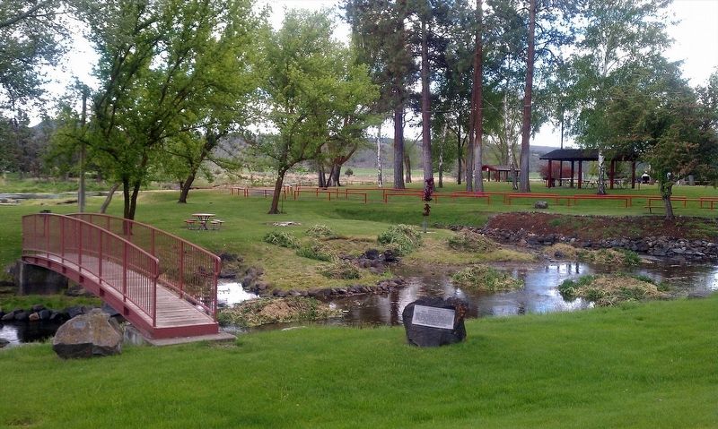
More about this marker. Marker is located in Big Springs City Park
Credits. This page was last revised on January 20, 2018. It was originally submitted on January 18, 2018, by Douglass Halvorsen of Klamath Falls, Oregon. This page has been viewed 221 times since then and 23 times this year. Photos: 1, 2. submitted on January 18, 2018, by Douglass Halvorsen of Klamath Falls, Oregon. • Bill Pfingsten was the editor who published this page.

