Amsterdam-Centrum , North Holland, Netherlands — Northwestern Europe
De Schaduwkade (Shadow Wall)
Photographed by Andrew Ruppenstein, June 18, 2017
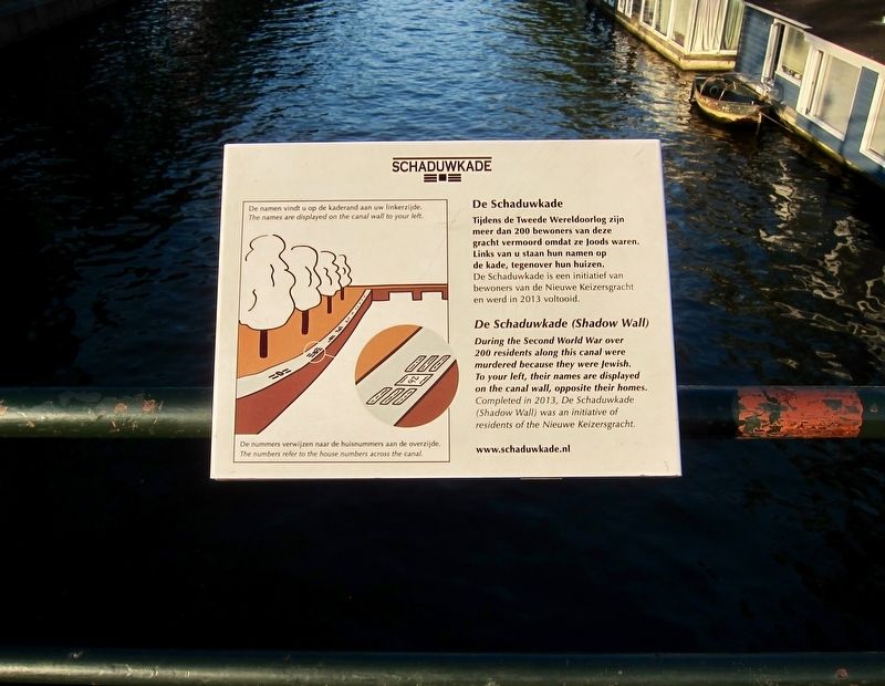
1. De Schaduwkade (Shadow Wall) Marker

De Schaduwkade
Tijdens de Tweede Wereldoorlog zijn meer dan 200 bewoners van deze gracht vermoord omdat ze Joods waren. Links van u staan hun namen op de kade, tegenover hun huizen. De Schaduwkade is een initiatief van bewoners van de Nieuwe Keizersgracht en werd in 2013 voltooid.
During the Second World War over 200 residents along this canal were murdered because they were Jewish. To your left, their names are displayed on the canal wall, opposite their homes. Completed in 2013, De Schaduwkade (Shadow Wall) was an initiative of residents of the Nieuwe Keizersgracht.
Erected by Bewoners van de Nieuwe Keizersgracht.
Topics and series. This memorial is listed in these topic lists: Religion & Religious Structures • War, World II. In addition, it is included in the The Holocaust series list. A significant historical year for this entry is 2013.
Location. 52° 21.876′ N, 4° 54.152′ E. Memorial is in Amsterdam, Noord-Holland (North Holland). It is in Amsterdam-Centrum. It is at the intersection of Amstel and Nieuwe Keizersgracht, on the left when traveling north on Amstel. Touch for map. Touch for directions.

Regionally, it is in Europe, the European Union, Atlantic Europe, the Benelux Low Countries, the Schengen
this page online
Other nearby markers. At least 8 other markers are within walking distance of this marker: Walter Süskind (about 150 meters away, measured in a direct line); Voormalig Hoofdkantoor Joodsche Raad / Former Headquarters of the Jewish Council (about 150 meters away); Christiaan Andriessen (about 150 meters away); Woonhuis familie Nunes da Costa / Residence of the Nunes da Costa Family (about 210 meters away); Chaje Bas-Trobuschicht (about 240 meters away); Abraham Bas (about 240 meters away); Museum Willet-Holthuysen (approx. 0.3 kilometers away); E.J. van Detschool (approx. 0.3 kilometers away). Touch for a list and map of all markers in Amsterdam.
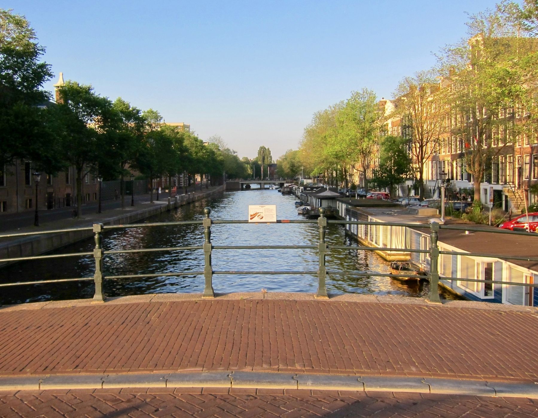
More about this memorial. The marker is found on the Nieuwe Keizersgracht Bridge, by the Amstel River. There are two identically worded, albeit differently designed, additional markers nearby. One on the north side of the canal, about 50 meters to the east, and the other about 100 meters to the east, on the Weesperstraat as it crosses the canal.
Regarding De Schaduwkade (Shadow Wall). The memorial was dedicated on May 26, 2013.
Also see . . . De Schaduwkade (Shadow Wall). Website homepage (Submitted on January 27, 2018.)
Additional keywords. Holocaust
Photographed by Andrew Ruppenstein, June 18, 2017
2. De Schaduwkade (Shadow Wall) Marker - Wide View, Looking East on Niuewe Keizersgracht
Photographed by Andrew Ruppenstein, June 18, 2017
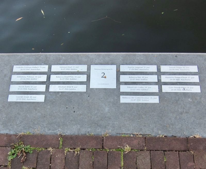
3. De Schaduwkade (Shadow Wall) - Victims Names for the Nieuwe Keizersgracht 2 House
This is found on the north side of the canal, with the subject houses being located on the south side. The house addresses increase the further east (i.e. away from the marker) one goes. This address would be for the house closest to the marker.
Photographed by Andrew Ruppenstein, June 18, 2017
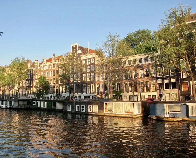
4. South Side of Canal
The house numbers increase going from right to left, with Nieuwe Keizersgracht 2 being on the far right.
Credits. This page was last revised on August 20, 2025. It was originally submitted on January 27, 2018, by Andrew Ruppenstein of Lamorinda, California. This page has been viewed 1,112 times since then and 45 times this year. Photos: 1. submitted on January 27, 2018, by Andrew Ruppenstein of Lamorinda, California. 2, 3, 4. submitted on January 28, 2018, by Andrew Ruppenstein of Lamorinda, California.
