Near Astoria in Clatsop County, Oregon — The American West (Northwest)
Fort Clatsop
Inscription.
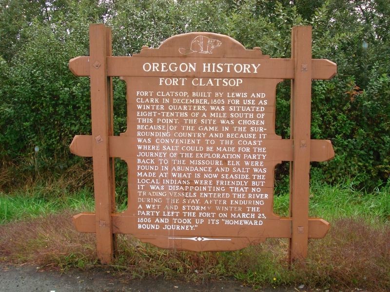
Fort Clatsop built by Lewis and Clark in December 1805 for use as winter quarters was situated eight-tenths of a mile south of this point. The site was chosen because of the game in the surrounding country and because it was convenient to the coast where salt could be made for the journey of the exploration party back to the Missouri. Elk were found in abundance and salt was made at what is now Seaside. The local Indians were friendly but it was disappointing that no trading vessels entered the river during the stay. After enduring a wet and stormy winter the party left the fort on March 24, 1806 and took up its "homeward bound journey."
Erected by Oregon Travel Experience.
Topics and series. This historical marker is listed in these topic lists: Exploration • Forts and Castles. In addition, it is included in the Lewis & Clark Expedition, and the Oregon Beaver Boards series lists. A significant historical date for this entry is March 25, 1806.
Location. 46° 8.576′ N, 123° 52.467′ W. Marker is near Astoria, Oregon, in Clatsop County. Marker is at the intersection of Warrenton-Astoria Highway (Business U.S. 101) and Fort Clatsop Road, on the left when traveling west on Warrenton-Astoria Highway. Touch for map. Marker is at or near this postal address: 33842 Warrenton-Astoria Highway, Astoria OR 97103, United States of America. Touch for directions.
Other nearby markers. At least 8 other markers are within 4 miles of this marker, measured as the crow flies. Sacagawea (approx. 0.6 miles away); Astoria & Warrenton (approx. 0.7 miles away); Winter at Fort Clatsop (approx. 0.7 miles away); Why are Those Poles in the Water? (approx. ¾ mile away); Traveling the Rivers (approx. ¾ mile away); Astoria Sesquicentennial (approx. 3 miles away); Japanese Bombardment (approx. 3.4 miles away); Uniontown Curfew Bell (approx. 3.4 miles away). Touch for a list and map of all markers in Astoria.
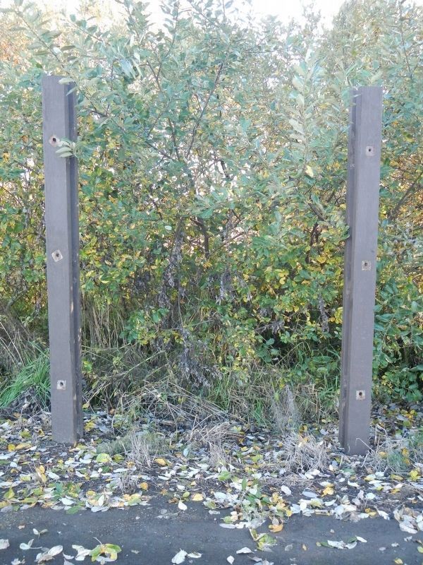
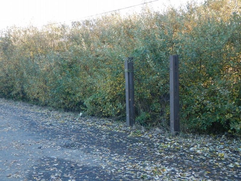
More about this marker. This marker has been removed for renovation.
Credits. This page was last revised on August 5, 2020. It was originally submitted on February 1, 2018, by Barry Swackhamer of Brentwood, California. This page has been viewed 281 times since then and 35 times this year. Last updated on February 1, 2018, by Douglass Halvorsen of Klamath Falls, Oregon. Photos: 1. submitted on February 1, 2018, by Barry Swackhamer of Brentwood, California. 2. submitted on August 5, 2020, by Roger Dean Meyer of Yankton, South Dakota. 3. submitted on February 1, 2018, by Barry Swackhamer of Brentwood, California.


