Coos Bay in Coos County, Oregon — The American West (Northwest)
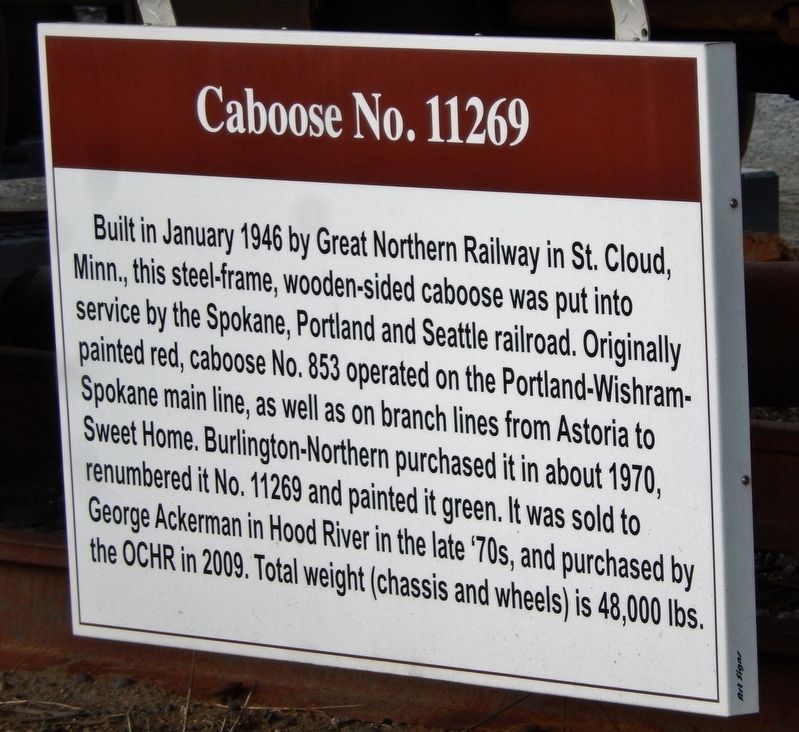
Caboose No. 11269
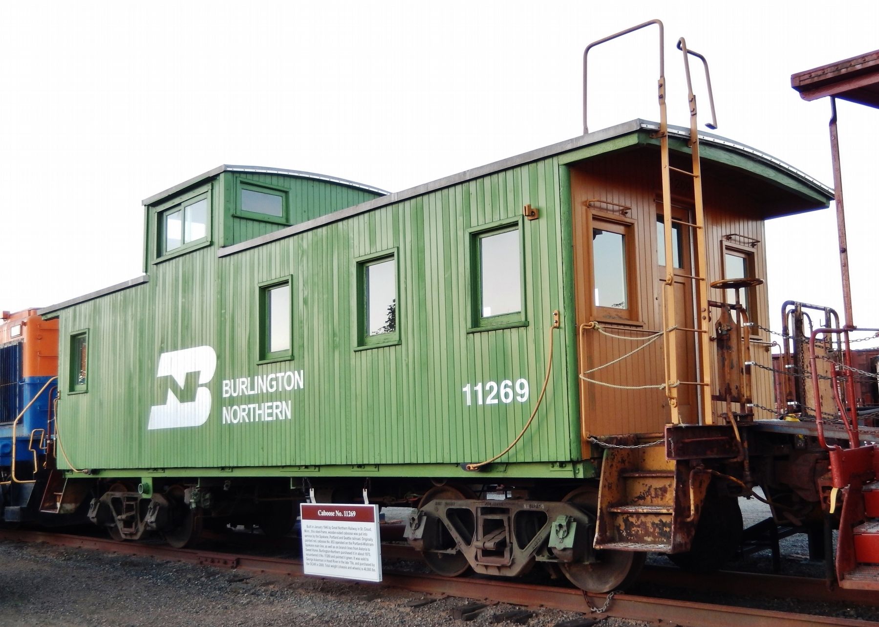
Built in January 1946 by Great Northern Railway in St. Cloud, Minn., this steel-frame, wooden-sided caboose was put into service by the Spokane, Portland and Seattle railroad. Originally painted red, caboose No. 853 operated on the Portland-Wishram-Spokane main line, as well as on branch lines from Astoria to Sweet Home. Burlington-Northern purchased it in about 1970, renumbered it No. 11269 and painted it green. It was sold to George Ackerman in Hood River in the late ‘70s, and purchased by the OCR in 2009. Total weight (chassis and wheels) is 48,000 lbs.
Erected by Oregon Coast Historical Railway.
Topics. This historical marker is listed in this topic list: Railroads & Streetcars. A significant historical year for this entry is 1946.
Location. 43° 21.72′ N, 124° 12.719′ W. Marker is in Coos Bay, Oregon, in Coos County. Marker is on Oregon Coast Highway (U.S. 101) north of Hall Avenue, on the right when traveling north. Marker is mounted on subject caboose, within the Oregon Coast Historical Railway yard. Touch for map. Marker is at or near this postal address: 800 South 1st Street, Coos Bay OR 97420, United States of America. Touch for directions.
Other nearby markers. At least 8 other markers are within walking distance of this marker. Caboose No. 1134 (a few steps from this marker); Steam Engine No. 104 (a few steps from this marker); Transportation (approx. 0.4 miles away); a different marker also named Transportation (approx. 0.4 miles away); a different marker also named Transportation (approx. 0.4 miles away); The Changing Waterfront (approx. 0.4 miles away); a different marker also named The Changing Waterfront (approx. 0.4 miles away); a different marker also named The Changing Waterfront (approx. 0.4 miles away). Touch for a list and map of all markers in Coos Bay.
Also see . . .
1. Brief History of the SP&S Railway.
The Spokane, Portland and Seattle Railway was built by James J. Hill, the "Empire Builder," who also built the Great Northern Railway and who controlled the Northern Pacific and Chicago, Burlington and Quincy railroads. Hill's GN, NP, and CB&Q lines linked Chicago with Seattle. GN and NP trains originally reached Portland via the Oregon Railway and Navigation Company, which followed the south side of the Columbia River for much of its route. But the wily Edward Harriman, who owned the Union Pacific and Southern Pacific Railroads, took control of the OR&N and denied Hill access to that route. In response, Hill decided to build a new line from Spokane to Portland along the north bank
of the river. The new line would be half owned by the Great Northern and half by the Northern Pacific. (Submitted on February 3, 2018, by Cosmos Mariner of Cape Canaveral, Florida.)
2. Burlington Northern Railroad.
The Burlington Northern Railroad was the product of a March 2, 1970, merger of four major railroads—the Great Northern Railway, Northern Pacific Railway, Spokane, Portland and Seattle Railway and the Chicago, Burlington and Quincy Railroad. Although the four railroads shared common ownership (including the headquarters building in Saint Paul, Minnesota) from the days of the James J. Hill era, the four railroads previously had unsuccessfully attempted four mergers to unify the Hill Lines: 1896, 1901, 1927 and 1955. (Submitted on February 3, 2018, by Cosmos Mariner of Cape Canaveral, Florida.)
Credits. This page was last revised on October 14, 2020. It was originally submitted on February 3, 2018, by Cosmos Mariner of Cape Canaveral, Florida. This page has been viewed 281 times since then and 20 times this year. Photos: 1, 2. submitted on February 3, 2018, by Cosmos Mariner of Cape Canaveral, Florida. • Andrew Ruppenstein was the editor who published this page.

