Chesterfield in Chesterfield County, South Carolina — The American South (South Atlantic)
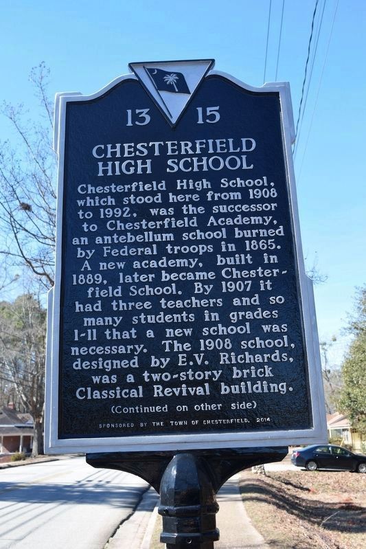
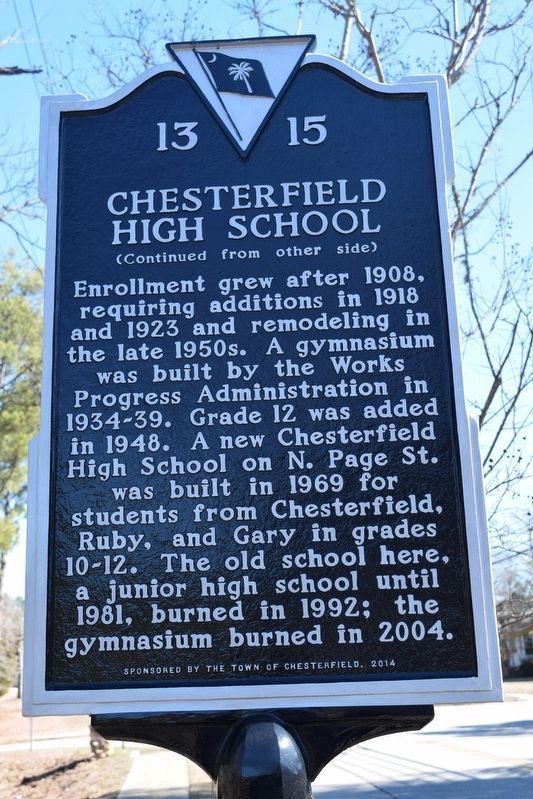
Chesterfield High School
Chesterfield High School, which stood here from 1908 to 1992, was the successor to Chesterfield Academy, an antebellum school burned by Federal troops in 1865. A new academy, built in 1889, later became Chesterfield School. By 1907 it has three teachers and many students in grades 1-11 that a new school was necessary. The 1908 school, designed by E.V. Richards, was a two-story Classical Revival building.
Enrollment grew after 1908, requiring additions in 1918 and 1923 and remodeling in 1950s. A gymnasium was built by the Works Progress Administration in 1934-39. Grade 12 was added in 1948. A new Chesterfield High School on N. Page St. was built in 1969 for students from Chesterfield, Ruby, and Gary in grades 10-12. The old school her, a junior high school until 1981, burned in 1992; the gymnasium burned in 2004.
Erected 2014 by Town of Chesterfield. (Marker Number 13 15.)
Topics. This historical marker is listed in this topic list: Education. A significant historical year for this entry is 1908.
Location. 34° 44.134′ N, 80° 5.653′ W. Marker is in Chesterfield, South Carolina, in Chesterfield County. Marker is at the intersection of West Main Street (Business State Highway 9) and Crescent Drive, on the right when traveling west on West Main Street. Touch for map. Marker is at or near this postal address: 602 W Main St, Chesterfield SC 29709, United States of America. Touch for directions.
Other nearby markers. At least 8 other markers are within 8 miles of this marker, measured as the crow flies. Chesterfield Academy (a few steps from this marker); Austin-Craig-Laney House (approx. ¼ mile away); W. D. Craig House (approx. 0.3 miles away); First Secession Meeting (approx. half a mile away); Chesterfield Courthouse (approx. half a mile away); John Craig House (approx. half a mile away); Chesterfield Post Office (approx. half a mile away); Sherman's March (approx. 7.2 miles away in North Carolina). Touch for a list and map of all markers in Chesterfield.
Credits. This page was last revised on April 13, 2023. It was originally submitted on February 6, 2018, by Roger C Pate of Laurinburg, North Carolina. This page has been viewed 697 times since then and 90 times this year. Photos: 1, 2. submitted on February 6, 2018, by Roger C Pate of Laurinburg, North Carolina. • Bernard Fisher was the editor who published this page.
Editor’s want-list for this marker. Wide shot of marker and its surroundings. • Can you help?

