Augusta in Richmond County, Georgia — The American South (South Atlantic)
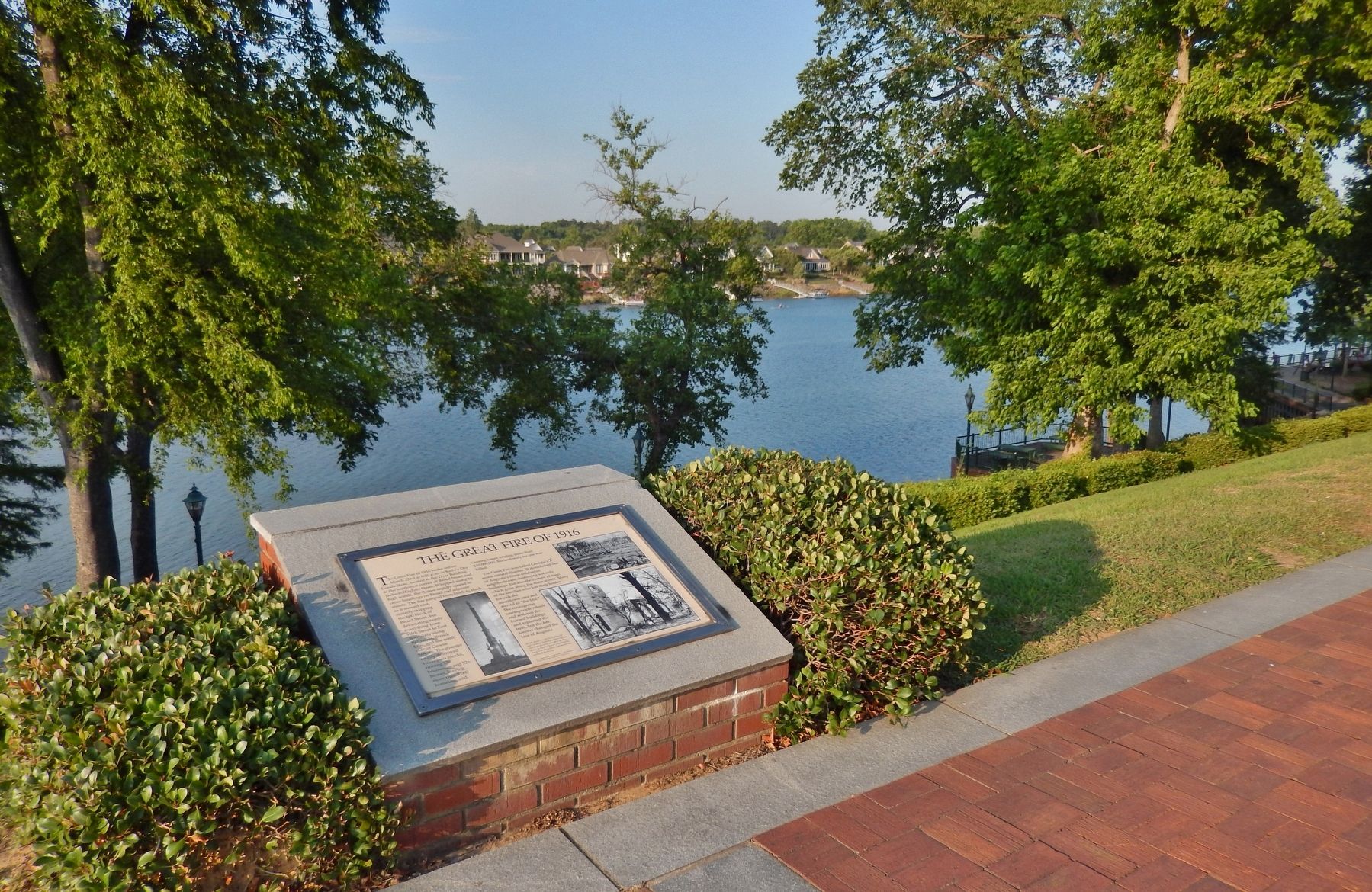
The Great Fire of 1916
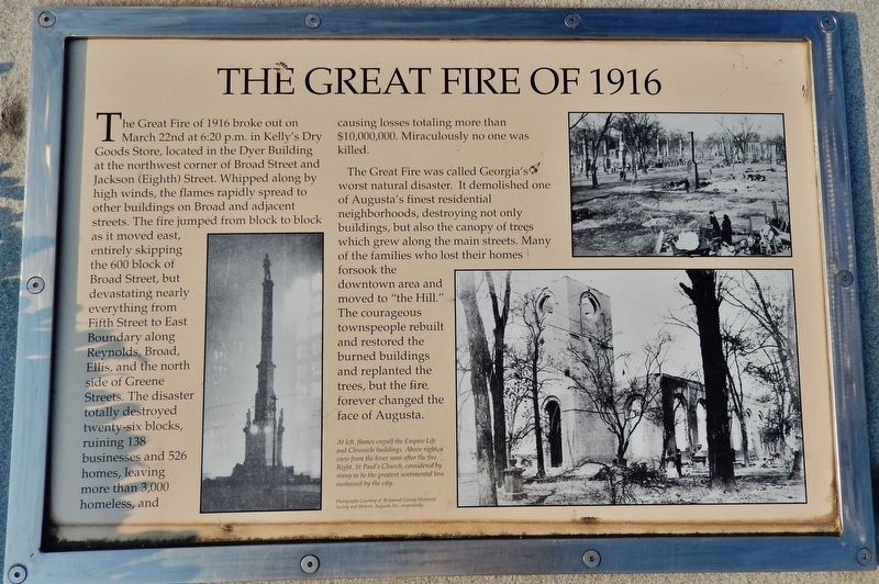
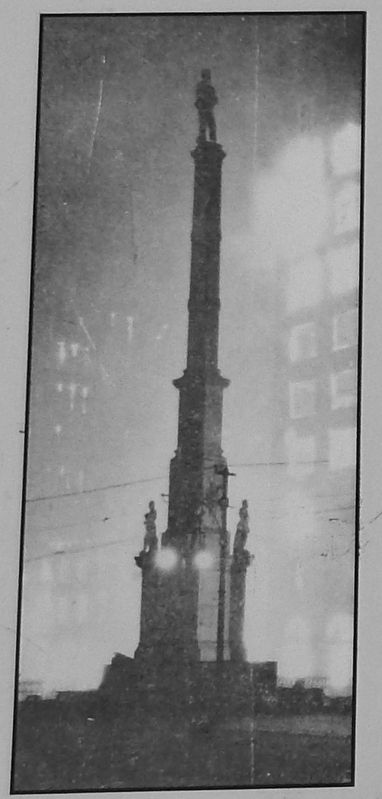
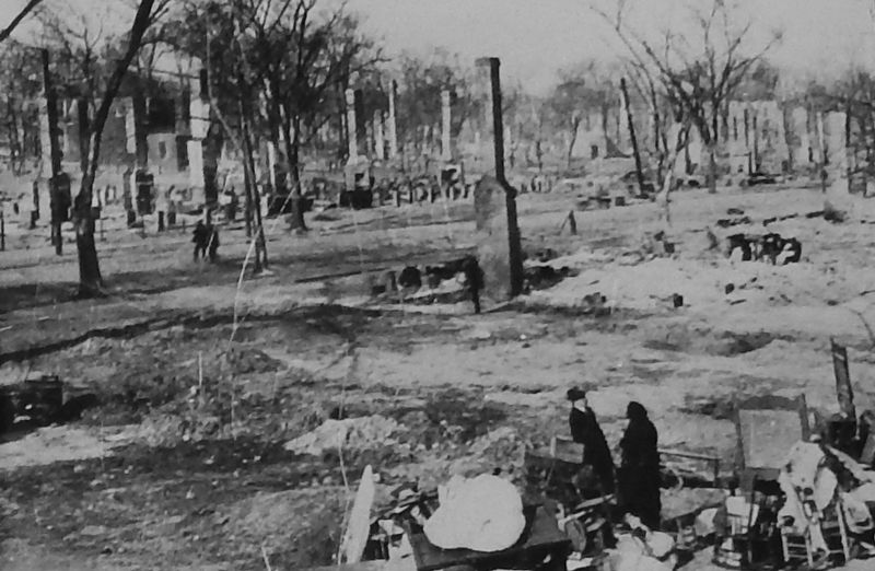
The Great Fire of 1916 broke out on March 22nd at 6:20 p.m. in Kelly's Dry Goods Store, located in the Dyer Building at the northwest corner of Broad Street and Jackson (Eighth) Street. Whipped along by high winds, the flames rapidly spread to other buildings on Broad and adjacent streets. The fire jumped from block to block as it moved east, entirely skipping the 600 block of Broad Street, but devastating nearly everything from Fifth Street to East Boundary along Reynolds, Broad, Ellis, and the north side of Greene Streets. The disaster totally destroyed twenty-six blocks, ruining 138 businesses and 526 homes, leaving more than 3,000 homeless, and causing losses totaling more than $10,000,000. Miraculously no one was killed.
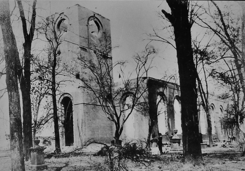
The Great Fire was called Georgia's worst natural disaster. It demolished one of Augusta's finest residential neighborhoods, destroying not only buildings, but also the canopy of trees which grew along the main streets. Many of the families who lost their homes forsook the downtown area and moved to "the Hill." The courageous townspeople rebuilt and restored the burned buildings and replanted the trees, but the fire forever changed the face of Augusta.
Topics. This historical marker is listed in this topic list: Disasters. A significant historical date for this entry is March 22, 1916.
Location. 33° 28.715′ N, 81° 57.902′ W. Marker is in Augusta, Georgia, in Richmond County. Marker can be reached from James Brown Boulevard north of Reynolds Street, on the right when traveling north. Marker is located along the Augusta Riverwalk, between James Brown Blvd and 8th St. Touch for map. Marker is at or near this postal address: 15 8th Street, Augusta GA 30901, United States of America. Touch for directions.
Other nearby markers. At least 8 other markers are within walking distance of this marker. Industrial Heritage (within shouting distance of this marker); Indians (within shouting distance of this marker); De Soto In Georgia (about 300 feet away, measured in a direct line); Jessye Norman (about 300 feet away); Great Indian Warrior / Trading Path (about 300 feet away); Cotton (about 400 feet away); Founding of Augusta (about 400 feet away); Floods (about 400 feet away). Touch for a list and map of all markers in Augusta.
Also see . . .
1. Great Fire of 1916. (This Augusta Museum of history link provides and interactive map with many historic pictures of the fire and resulting damage.) Firefighters from Augusta's five engine companies, as well as fire department crews from neighboring cities, including Atlanta, Savannah, Charleston, and Columbia, helped battle the massive fire. An area of one-quarter square miles, or 25 blocks, was blackened during the fire. (Submitted on February 22, 2018, by Cosmos Mariner of Cape Canaveral, Florida.)
2. Augusta, GA Business District Burns, Mar 1916. Chief among the structures destroyed were the following: Dyer building, Herald building, Masonic Temple, Chronicle, Union Savings Bank, Augusta Trunk Factory building, Commercial Club, YWCA building, Postal Telegraph company, Western Union Telegraph company, John J. Evans Wholesale and Retail Hardware, Tubman High school building, and Horton Grammar school building. (Submitted on February 22, 2018, by Cosmos Mariner of Cape Canaveral, Florida.)
Credits. This page was last revised on October 21, 2020. It was originally submitted on February 22, 2018, by Cosmos Mariner of Cape Canaveral, Florida. This page has been viewed 840 times since then and 74 times this year. Photos: 1, 2, 3, 4, 5. submitted on February 22, 2018, by Cosmos Mariner of Cape Canaveral, Florida. • Bernard Fisher was the editor who published this page.
