Crown Point in Essex County, New York — The American Northeast (Mid-Atlantic)
The British at Crown Point
Inscription.
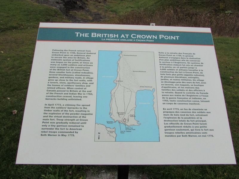
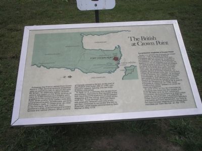
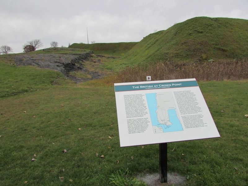
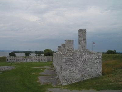
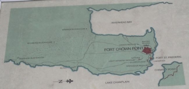
Following the French retreat from Crown Point in 1759, General Amherst embarked upon an ambitious plan to secure the area for Britain. An elaborate system of fortifications was begun on the Point; at times as many as 3,000 soldiers and artisans were engaged in the construction of Fort Crown Point, three smaller forts (called redoubts), several blockhouses, storehouses, gardens, and military roads. A village grew up close to the fort walls, with a tavern, store, apothecary shop, and the homes of soldiers’ families and retired officers. When control of Canada passed to Britain at the end of the French and Indian War in 1763, construction ceased, leaving one barracks building unfinished.
In April 1773, a chimney fire spread from the soldiers’ barracks to the log walls of the fort, resulting in the explosion of the powder magazine and the virtual destruction of the main fort. Troop strength was gradually reduced until only a tiny garrison remained to surrender the fort to American rebel troops commanded by Seth Warner in May 1775.
Erected by Crown Point State Historic Site.
Topics. This historical marker is listed in these topic lists: Forts and Castles • Notable Places • War, US Revolutionary. A significant historical month for this entry is April 1773.
Location. 44° 1.778′ N, 73° 25.765′ W. Marker is in Crown Point, New York, in Essex County. Marker is on Grandview Drive, on the left when traveling west. Marker is in Crown Point State Historic Site, along the walking trail. Touch for map. Marker is in this post office area: Crown Point NY 12928, United States of America. Touch for directions.
Other nearby markers. At least 8 other markers are within walking distance of this marker. “His Majesty’s Fort of Crown Point” (within shouting distance of this marker); Welcome To Crown Point State Historic Site (about 400 feet away, measured in a direct line); The Barracks (about 400 feet away); Capture of Fort St. Frédéric (about 500 feet away); Gen. Henry Knox Trail (about 500 feet away); Crown Point (about 500 feet away); Crown Point: Military Focus (about 500 feet away); The French at Crown Point (about 600 feet away). Touch for a list and map of all markers in Crown Point.
More about this marker. The top of the marker features a map of Crown Point, Fort St. Frédéric and the surrounding area. The right of the map repeats the marker text in French.
Also see . . .
1. Crown Point State Historic Site. New York State Parks, Recreation and Historic Preservation website entry (Submitted on September 13, 2008, by Bill Coughlin of Woodland Park, New Jersey.)
2. Fort Crown Point. Wikipedia entry (Submitted on May 1, 2021, by Larry Gertner of New York, New York.)
3. Fort Crown Point - National Park Service. Download National Register of Historic Places documentation (Submitted on February 5, 2024, by Anton Schwarzmueller of Wilson, New York.)
Photographed By Bill Coughlin, July 11, 2008
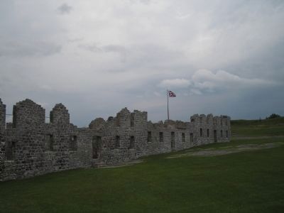
5. Ruins of the British Fort at Crown Point
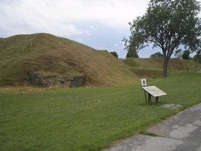
In 1773, a fire in the soldiers' barracks resulted in the destruction of the main fort. The Fort was taken by the Americans at the start of the Revolutionary War, but was retaken by the British in 1777 and held until the end of the war.
Credits. This page was last revised on February 6, 2024. It was originally submitted on September 13, 2008, by Bill Coughlin of Woodland Park, New Jersey. This page has been viewed 1,695 times since then and 47 times this year. Photos: 1. submitted on November 16, 2018, by Bill Coughlin of Woodland Park, New Jersey. 2. submitted on September 13, 2008, by Bill Coughlin of Woodland Park, New Jersey. 3. submitted on November 16, 2018, by Bill Coughlin of Woodland Park, New Jersey. 4, 5, 6, 7, 8. submitted on September 13, 2008, by Bill Coughlin of Woodland Park, New Jersey.
