Near Maybell in Moffat County, Colorado — The American Mountains (Southwest)
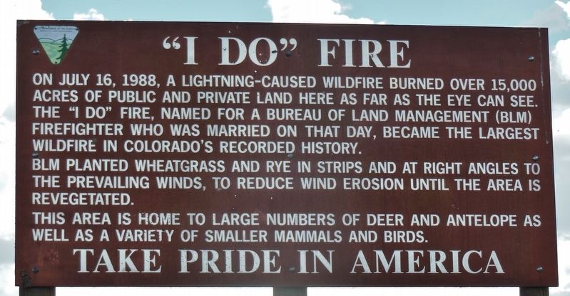
"I Do" Fire
On July 16, 1988, a lightning-caused wildfire burned over 15,000 acres of public and private land here as far as the eye can see. The “I Do” fire, named for a Bureau of Land Management (BLM) firefighter who was married on that day, became the largest wildfire in Colorado’s recorded history.
BLM planted wheatgrass and rye in strips and at right angles to the prevailing winds, to reduce wind erosion until the area is revegetated.
This area is home to large numbers of deer and antelope as well as a variety of smaller mammals and birds.
Erected by Department of the Interior Bureau of Land Management.
Topics. This historical marker is listed in these topic lists: Disasters • Horticulture & Forestry. A significant historical date for this entry is July 16, 1988.
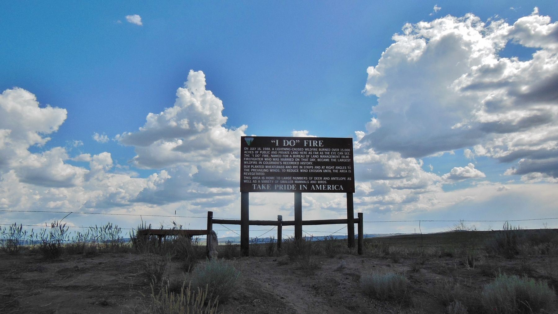
Location. 40° 28.999′ N, 108° 10.923′ W. Marker is near Maybell, Colorado, in Moffat County. Marker is on U.S. 40 west of County Highway 143, on the left when traveling west. Marker is located in a pull-out on the south side of the highway. Touch for map. Marker is in this post office area: Maybell CO 81640, United States of America. Touch for directions.
Other nearby markers. At least 1 other marker is within 11 miles of this marker, measured as the crow flies. The Johnson Homestead (approx. 10.4 miles away).
Credits. This page was last revised on February 27, 2018. It was originally submitted on February 26, 2018, by Cosmos Mariner of Cape Canaveral, Florida. This page has been viewed 366 times since then and 41 times this year. Photos: 1, 2. submitted on February 26, 2018, by Cosmos Mariner of Cape Canaveral, Florida. • Andrew Ruppenstein was the editor who published this page.

