Myrtle Creek in Douglas County, Oregon — The American West (Northwest)
History of the (grist) Wheel
Photographed by Barry Swackhamer, September 27, 2017
1. History of the (grist) Wheel Marker
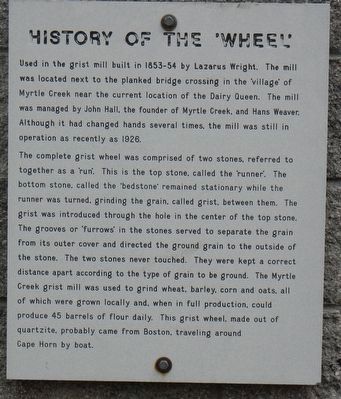
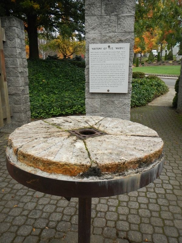
The complete grist wheel was composed of two stones, referred to together as a 'run'. This is the top stone, called the 'runner'. The bottom stone, called the 'bedstone' remained stationary while the runner was turned, grinding the grain, called grist, between them. The grist was introduced through the hole in the center of the top stone. The grooves of 'furrows' in the stones served to separate the grain from its outer cover and directed the ground grain to the outside of the stone. The two stones never touched. They were kept a correct distance apart according to the type of grain to be ground. The Myrtle Creek grist mill was used to grind wheat, barley corn and oats, all of which were grown locally and, when in full production, could produce 45 barrels
this page online
Topics. This historical marker is listed in this topic list: Industry & Commerce.
Location. 43° 1.494′ N, 123° 17.418′ W. Marker is in Myrtle Creek, Oregon, in Douglas County. It can be reached from Volunteer Way near SW 2nd Avenue, on the right when traveling east. Touch for map. Marker is at or near this postal address: 231 Volunteer Way, Myrtle Creek OR 97457, United States of America. Touch for directions.

Regionally, this marker is in Southern Oregon. It is also on the American Pacific Coast, in the Pacific Northwest, and in the Lewis & Clark Corridor. Globally, it is in North America, in the Cascade Range, on the Ring of Fire, on the Pacific Rim, in the Western Hemisphere, in the Western World, and in the Anglosphere.
Other nearby markers. At least 8 other markers are within 13 miles of this marker, measured as the crow flies: Homeland of the Cow Creeks (approx. 5.7 miles away); United Methodist Church (approx. 6.8 miles away); Canyonville Applegate Trail Kiosk
Photographed by Barry Swackhamer, September 27, 2017
2. History of the (grist) Wheel and Marker
More about this marker. The marker and millstone are located in Millsite Park.

Photographed by Barry Swackhamer, September 27, 2017
3. History of the (grist) Wheel and Marker
Credits. This page was last revised on February 27, 2018. It was originally submitted on February 27, 2018, by Barry Swackhamer of Brentwood, California. This page has been viewed 616 times since then and 58 times this year. Photos: 1, 2, 3. submitted on February 27, 2018, by Barry Swackhamer of Brentwood, California.
