Morristown in Morris County, New Jersey — The American Northeast (Mid-Atlantic)
The Path to History
Morristown National Historical Park
Photographed by Bill Coughlin, March 9, 2018
1. The Path to History Marker
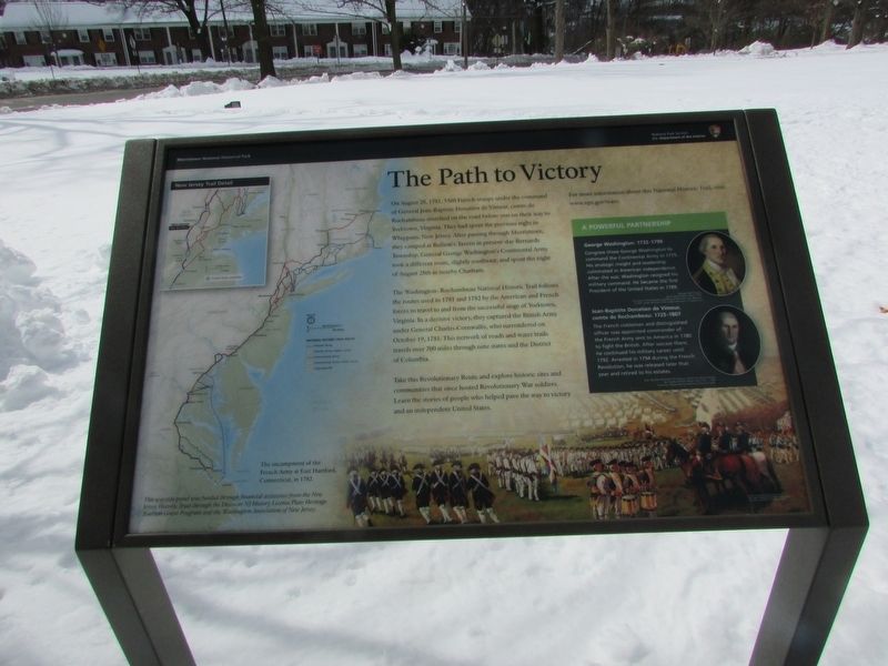
On August 28, 1781, 5500 French troops under the command of General Jean-Baptiste Donatien de Vimeur, comte de Rochambeau marched on the road before you on their way to Yorktown, Virginia. They had spent the previous night in Whippany, New Jersey. After passing through Morristown, they camped at Bullion’s Tavern in present-day Bernards Township. General George Washington’s Continental Army took a different route, slightly southeast, and spent the night of August 28th in nearby Chatham.
The Washington-Rochambeau National Historic Trail follows the routes used in 1781 and 1782 by the American and French forces to travel to and from the successful siege of Yorktown, Virginia. In a decisive victory, they captured the British Army under General Charles Cornwallis, who surrendered on October 19, 1781. This network of roads and water trails travels over 700 miles through nine states and the District of Columbia.
Take this Revolutionary Route and explore historic sites and communities that once hosted Revolutionary War soldiers. Learn the stories of people who helped pave the way to victory and an independent United States.
For more
this page online
< Sidebar: >
A Powerful Partnership
George Washington: 1732 – 1799
Congress chose George Washington to command the Continental Army in 1775. His strategic insight and leadership culminated in American independence. After the war, Washington resigned his military command. He became the first President of the United States in 1789.
Jean-Baptiste Donatien de Vimeur, comte de Rochambeau: 1725 – 1807
The French nobleman and distinguished officer was appointed commander of the French Army sent to America in 1780 to fight the British. After success there, he continued his military career until 1792. Arrested in 1794 during the French Revolution, he was released later that year and retired to his estates.
Erected by National Park Service.
Topics and series. This historical marker is listed in this topic list: War, US Revolutionary. In addition, it is included in the Former U.S. Presidents: #01 George Washington series list.
Location. 40° 47.779′ N, 74° 27.986′ W. Marker is in Morristown, New Jersey, in Morris
Photographed by Bill Coughlin, March 9, 2018
2. The Path to History Marker

Regionally, this marker is in North Jersey and in the New York City Metropolitan Area. It is also in the American Northeast and in the Mid-Atlantic. Globally, it is in North America, the Western Hemisphere, the Western World, and the Anglosphere. Historically, it finds itself in what was once New Netherland and also one of the original Thirteen Colonies.
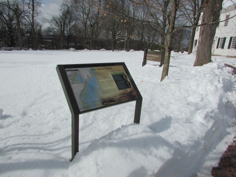
Other nearby markers. At least 8 other markers are within walking distance of this marker: Ford Mansion (here, next to this marker); Continental Army Encampments at Morristown (within shouting distance of this marker); Washington (within shouting distance of this marker); Washington’s Headquarters (within shouting distance of this marker); Washington’s Headquarters Museum (about 300 feet away, measured in a direct line); George Washington School (approx. 0.2 miles away); Powder Mill (approx. 0.3 miles away); Historic Site (approx. 0.3 miles
Photographed by Bill Coughlin, March 9, 2018
3. The Path to History Marker
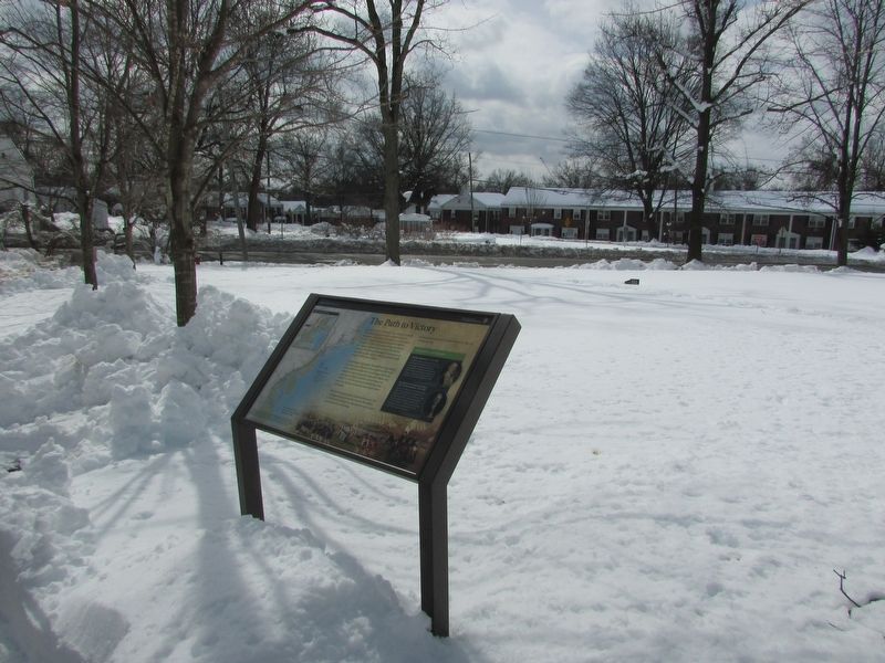
The road taken by the French Army during their march to Yorktown can be seen in the background.
Other markers no longer nearby. Morristown National Historical Park (was within shouting distance of this marker but has been confirmed missing); a different marker also named Washington’s Headquarters (was within shouting distance of this marker but has been confirmed missing).
More about this marker. The left side of the marker contains a map of the entire Washington-Rochambeau Historic Trail Route and a detailed map of the New Jersey section.
The bottom of the marker features a picture of the encampment of the French Army at East Hartford, Connecticut, in 1782.
Portraits of Washington and Rochambeau appear in the sidebar.
Also see . . . The Washington-Rochambeau National Historic Trail. (Submitted on March 9, 2018, by Bill Coughlin of Woodland Park, New Jersey.)
Photographed by Bill Coughlin, March 9, 2018
4. Marker in Morristown
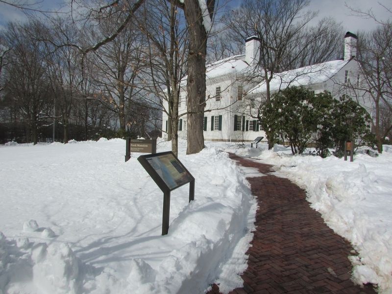
The Ford Mansion, Washington's Headquarters during the winter of 1779-80,can be seen behind the marker.
Credits. This page was last revised on March 9, 2018. It was originally submitted on March 9, 2018, by Bill Coughlin of Woodland Park, New Jersey. This page has been viewed 711 times since then and 33 times this year. Photos: 1, 2, 3, 4. submitted on March 9, 2018, by Bill Coughlin of Woodland Park, New Jersey.
