Annapolis in Anne Arundel County, Maryland — The American Northeast (Mid-Atlantic)
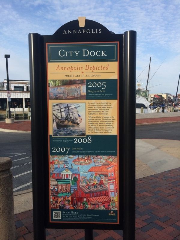
Annapolis Depicted
City Dock
— Public Art In Annapolis —
2005
Wings and Sails
Annapolis has a stunning array of outdoor sculpture, paintings, murals, and other public artwork. Each of these paintings was commissioned by the Art in Public Places Commission.
"Wings and Sails" is located on the walkway between City Hall and Main Street/Gorman Street near Hillman Garage. Greg Harlan's "Ranger" is on the wall of the Naval Academy at King George Street near Randall Street. Sy Mohr's "Annapolis" is on the Harbormaster's building.
2008
Greg Harlan's painting of a Revolutionary War sea battle features John Paul Jones's ship Ranger
2007
Annapolis
Created by artist Sy Mohr in his signature "folk-naïve" style, this mural's myriad images make up a compendium of the City's life.
Topics. This historical marker is listed in these topic lists: Arts, Letters, Music • Industry & Commerce • War, US Revolutionary. A significant historical year for this entry is 2005.
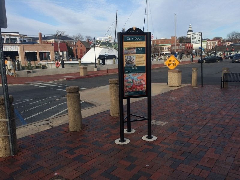
Location. 38° 58.633′ N, 76° 29.141′ W. Marker is in Annapolis, Maryland, in Anne Arundel County. Marker is on Dock Street east of Craig Street. Touch for map. Marker is at or near this postal address: 4 Dock Street, Annapolis MD 21401, United States of America. Touch for directions.
Other nearby markers. At least 8 other markers are within walking distance of this marker. Sy Mohr's City Dock Harbormaster Collage (a few steps from this marker); Beyond the Bridge (within shouting distance of this marker); Commodore John Barry (about 300 feet away, measured in a direct line); Watermen and Working Harbor (about 300 feet away); Annapolis: Capital of Commerce (about 300 feet away); Leonard A. Blackshear Walk (about 300 feet away); Steamboats Give Way to the New Bay Bridge (about 300 feet away); Transportation on the Chesapeake Highway (about 300 feet away). Touch for a list and map of all markers in Annapolis.
Credits. This page was last revised on March 17, 2019. It was originally submitted on March 10, 2018, by Devry Becker Jones of Washington, District of Columbia. This page has been viewed 209 times since then and 12 times this year. Photos: 1, 2. submitted on March 10, 2018, by Devry Becker Jones of Washington, District of Columbia. • Bill Pfingsten was the editor who published this page.

