Clinton in Hinds County, Mississippi — The American South (East South Central)
East Clinton Historic District
Inscription.
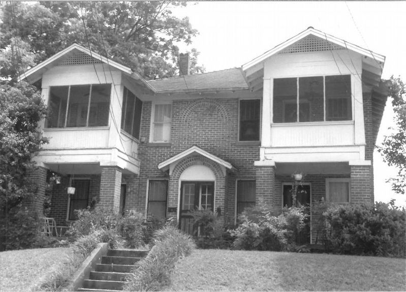
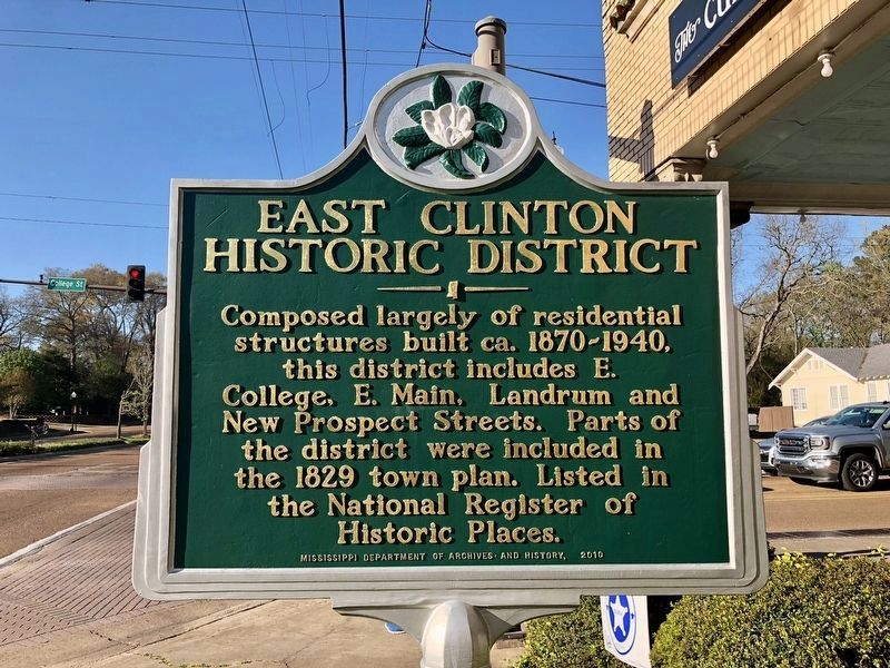
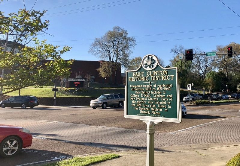
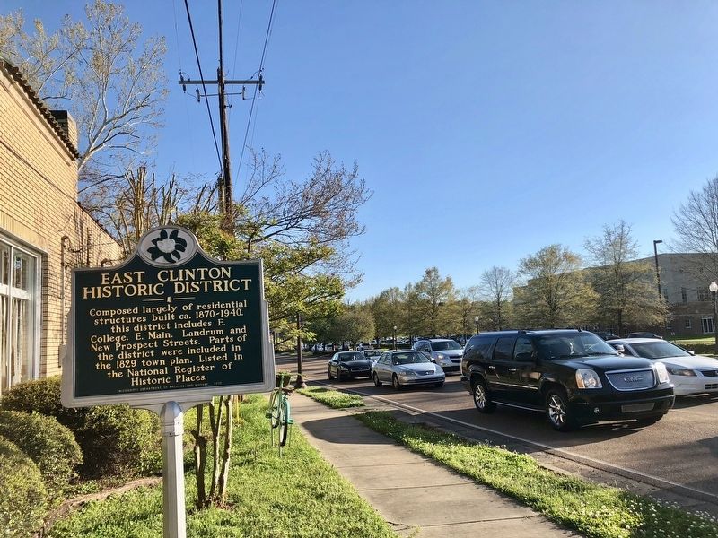
Composed largely of residential structures built ca. 1870-1940, this district includes E. College, E. Main, Landrum and New Prospect Streets. Parts of the district were included in the 1829 town plan. Listed in the National Register of Historic Places.
Erected 2010 by the Mississippi Department of Archives and History.
Topics and series. This historical marker is listed in these topic lists: Notable Buildings • Notable Places. In addition, it is included in the Mississippi State Historical Marker Program series list. A significant historical year for this entry is 1870.
Location. 32° 20.221′ N, 90° 19.625′ W. Marker is in Clinton, Mississippi, in Hinds County. Marker is at the intersection of East College Street and Clinton Parkway, on the right when traveling north on East College Street. Touch for map. Marker is at or near this postal address: 300 East College Street, Clinton MS 39056, United States of America. Touch for directions.
Other nearby markers. At least 8 other markers are within walking distance of this marker. Natchez Trace Crossing (about 400 feet away, measured in a direct line); Clinton (about 600 feet away); Jennings Hall (about 700 feet away); Provine Chapel (about 800 feet away); The Cedars (approx. 0.2 miles away); Covenant of Cooperation (approx. 0.2 miles away); Mississippi College (approx. 0.2 miles away); a different marker also named East Clinton Historic District (approx. 0.2 miles away). Touch for a list and map of all markers in Clinton.
Related marker. Click here for another marker that is related to this marker.

via NPS, unknown
3. East Clinton Historic District
NPGallery Digital Asset Management System website entry
Click for more information.
Click for more information.
Credits. This page was last revised on March 22, 2022. It was originally submitted on March 24, 2018, by Mark Hilton of Montgomery, Alabama. This page has been viewed 260 times since then and 28 times this year. Photos: 1, 2. submitted on March 24, 2018, by Mark Hilton of Montgomery, Alabama. 3. submitted on March 22, 2022, by Larry Gertner of New York, New York. 4. submitted on March 24, 2018, by Mark Hilton of Montgomery, Alabama.


