South Baton Rouge in East Baton Rouge Parish, Louisiana — The American South (West South Central)
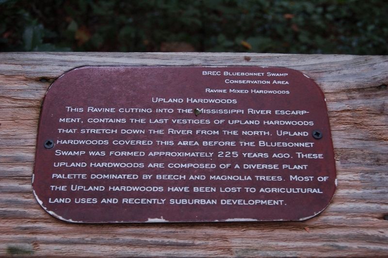
Upland Hardwoods
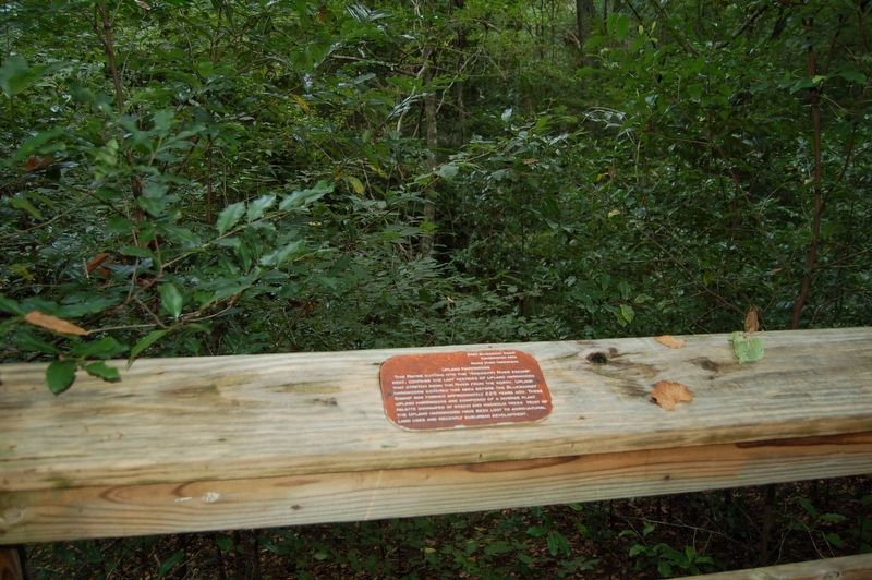
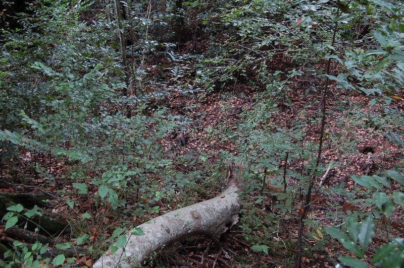
This ravine cutting into the Mississippi River escarpment, contains the last vestiges of upland hardwoods that stretch down the river from the north. Upland hardwoods covered this area before the Bluebonnet Swamp was formed approximately 225 years ago. These upland hardwoods are composed of a diverse plant palette dominated by beech and magnolia trees. Most of the upland hardwoods have been lost to agricultural land uses and recently suburban development.
Erected by BREC Bluebonnet Swamp Conservation Area.
Topics. This historical marker is listed in this topic list: Horticulture & Forestry.
Location. 30° 22.203′ N, 91° 6.297′ W. Marker is in Baton Rouge, Louisiana, in East Baton Rouge Parish. It is in South Baton Rouge. Marker can be reached from North Oak Hills Parkway near Bluebonnet Boulevard. Touch for map. Marker is at or near this postal address: 10503 North Oak Hills Parkway, Baton Rouge LA 70810, United States of America. Touch for directions.
Other nearby markers. At least 8 other markers are within 3 miles of this marker, measured as the crow flies. BREC's Bluebonnet Swamp Nature Center (within shouting distance of this marker); Bluebonnet Swamp (within shouting distance of this marker); Swamp Age (approx. 0.2 miles away); Dutch Highlands (approx. 0.8 miles away); William Bartram Trail (approx. 1.1 miles away); Bayou Fountain (approx. 2.2 miles away); a different marker also named William Bartram Trail (approx. 2.7 miles away); Germain Bergeron House (approx. 2.8 miles away). Touch for a list and map of all markers in Baton Rouge.
More about this marker. Marker is located on the pathway leading from the parking lot of Swamp to the Visitor Center.
Credits. This page was last revised on February 12, 2023. It was originally submitted on March 26, 2018, by Cajun Scrambler of Assumption, Louisiana. This page has been viewed 170 times since then and 15 times this year. Photos: 1, 2, 3. submitted on March 26, 2018.


