Southport in Brunswick County, North Carolina — The American South (South Atlantic)
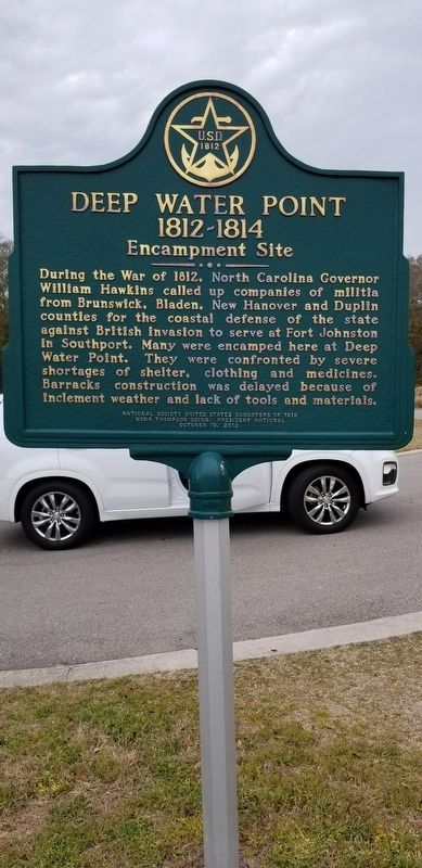
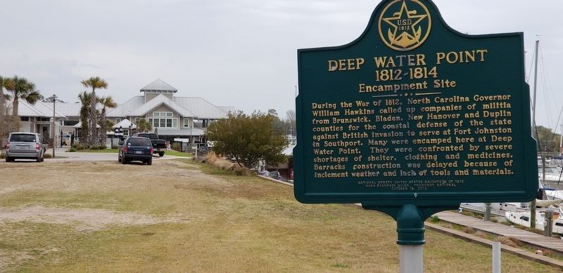
Deep Water Point 1812-1814
Encampment Site
Erected 2012 by National Society United States Daughters of 1812. Nona Thompson Quinn president, National October 19, 2012.
Topics. This historical marker is listed in these topic lists: Forts and Castles • War of 1812. A significant historical year for this entry is 1812.
Location. 33° 55.769′ N, 77° 59.868′ W. Marker is in Southport, North Carolina, in Brunswick County. Marker can be reached from Ferry Road SE (State Highway 211) 0.3 miles east of East Moore Street. Along the traffic loop to the Deep Point Marina & Yacht Club. Touch for map. Marker is at or near this postal address: 1301 Ferry Road SE, Southport NC 28461, United States of America. Touch for directions.
Other nearby markers. At least 8 other markers are within 2 miles of this marker, measured as the crow flies. Stede Bonnet (approx. ¼ mile away); Smithville Burying Ground (approx. 1.2 miles away); Railroad & Religion on Rhett Street (approx. 1.2 miles away); Old Jail (approx. 1.2 miles away); Memorial to North Carolina Militia (approx. 1.4 miles away); Franklin Square (approx. 1.4 miles away); Southport’s First Fire Alarm (approx. 1.4 miles away); Fort Johnston (approx. 1.4 miles away). Touch for a list and map of all markers in Southport.
Credits. This page was last revised on April 2, 2018. It was originally submitted on April 1, 2018, by Charles Keller of Myrtle Beach, South Carolina. This page has been viewed 508 times since then and 65 times this year. Photos: 1, 2. submitted on April 1, 2018, by Charles Keller of Myrtle Beach, South Carolina. • Bernard Fisher was the editor who published this page.

