Near Thomaston in Upson County, Georgia — The American South (South Atlantic)
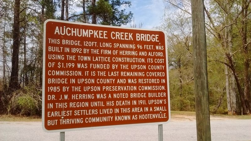
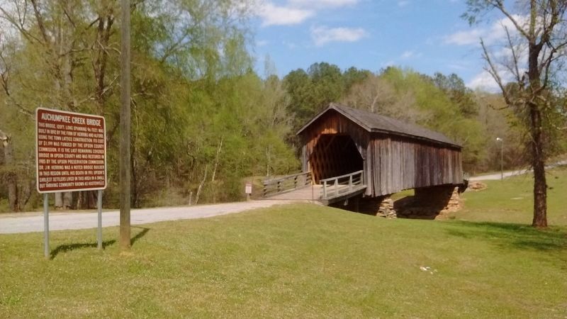
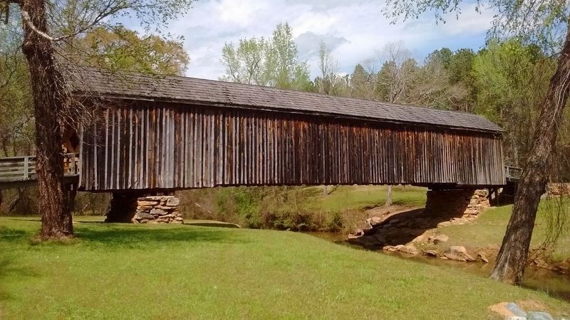
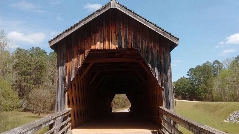
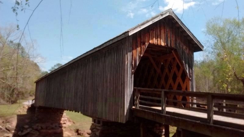
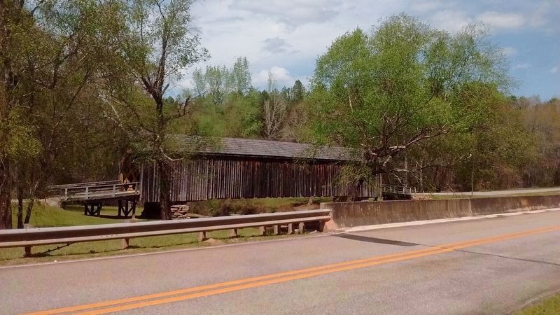
Auchumpkee Creek Bridge
Topics and series. This historical marker is listed in these topic lists: Bridges & Viaducts • Settlements & Settlers. In addition, it is included in the Covered Bridges series list. A significant historical year for this entry is 1892.
Location. 32° 45.342′ N, 84° 13.797′ W. Marker is near Thomaston, Georgia, in Upson County. Marker can be reached from Allen Road, 0.2 miles west of Wilmot Mill Road, on the left when traveling east. Touch for map. Marker is in this post office area: Culloden GA 31016, United States of America. Touch for directions.
Other nearby markers. At least 8 other markers are within 11 miles of this marker, measured as the crow flies. The Wire Road (approx. 7.6 miles away); William Bartram Trail (approx. 7.6 miles away); Taylor County Rural Electric Cooperative (approx. 8.6 miles away); Tuscaloosa Formation (approx. 8.7 miles away); Fort Lawrence (approx. 9.7 miles away); Creek Agency (approx. 9.9 miles away); Trice Cemetery (approx. 10 miles away); Pettigrew-White-Stamps House (approx. 10.2 miles away). Touch for a list and map of all markers in Thomaston.
Also see . . . Auchumpkee Creek Covered Bridge. (Submitted on April 3, 2018, by Tom Bosse of Jefferson City, Tennessee.)
Credits. This page was last revised on April 4, 2018. It was originally submitted on April 3, 2018, by Tom Bosse of Jefferson City, Tennessee. This page has been viewed 356 times since then and 40 times this year. Photos: 1, 2, 3, 4, 5, 6. submitted on April 3, 2018, by Tom Bosse of Jefferson City, Tennessee. • Bernard Fisher was the editor who published this page.
