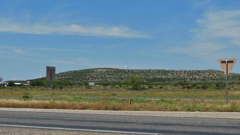
Near Sterling City in Sterling County, Texas — The American South (West South Central)
Montvale
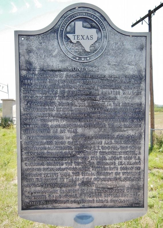
The community of Montvale was established in 1884 when the pioneer settlement of St. Elmo was relocated here. Then a part of Tom Green County, Montvale was located on the Shafter Military Trail, an early road from Fort Concho.
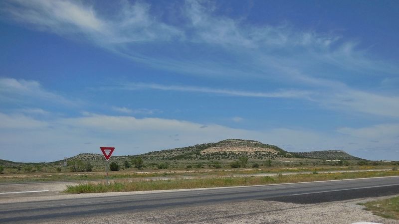
A community school, the earliest in the area, was in operation by 1886. Three years later the town was platted by H.B. Tarver, the surveyor for Tom Green County. It is believed the settlement was named for a nearby hill referred to in Tarver's field notes as Mt. Vale.
Early businesses in Montvale included the saddle and harness shop of R.B. Cummins and the general store and blacksmith shop of B.Z. Cooper. The town was also the site of a Methodist church, a hotel, a post office and a variety of stores. About 1889 R.B. Cummins started the town of Cummins (5.4 miles northwest) upriver from Montvale. Both settlements began to decline in 1891 with the establishment of Sterling City (3.5 miles northwest) as the seat of government for the newly created Sterling County.
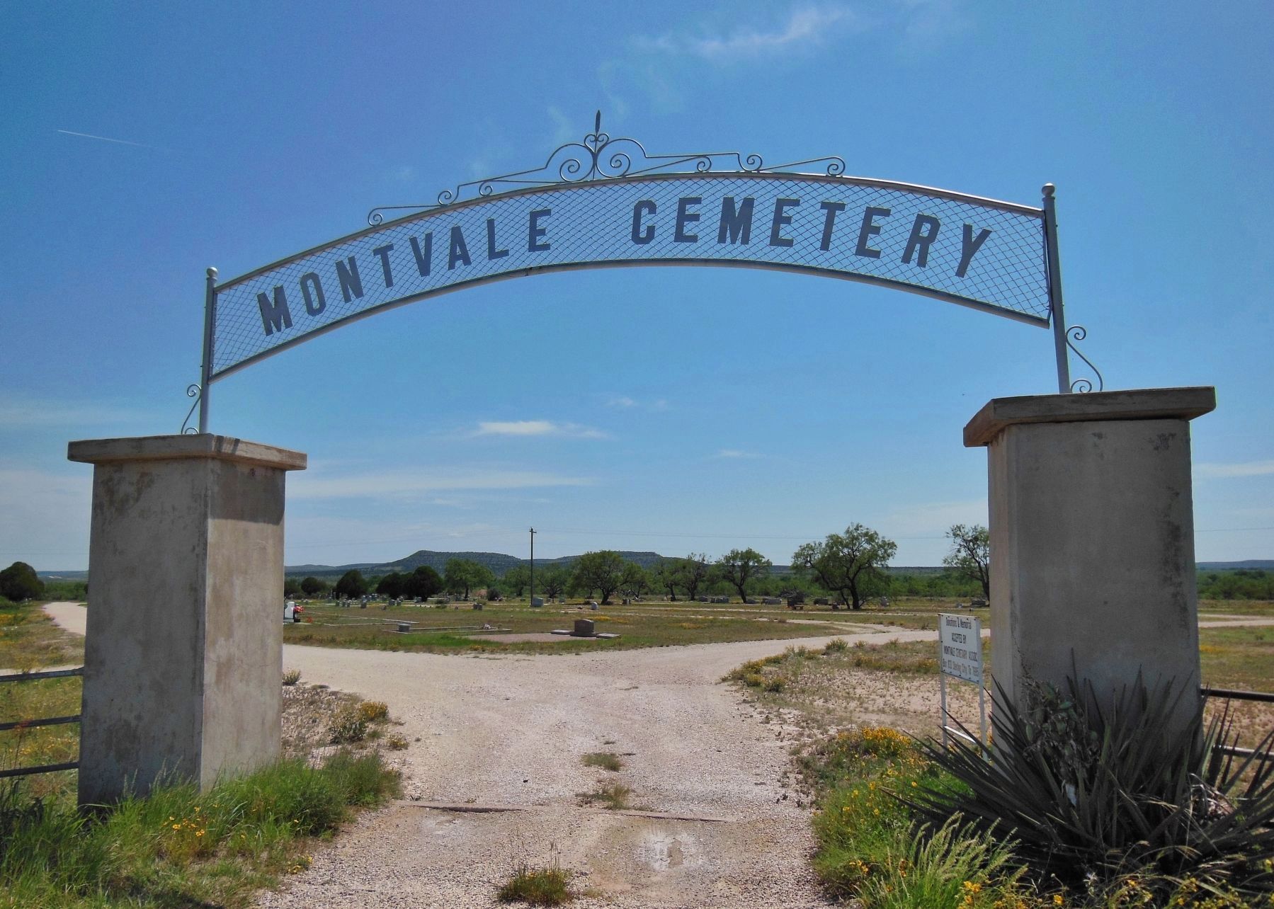
A community cemetery is all that remains of the townsite of Montvale, a pioneer settlement that played an important role in the area's development.
Erected 1982 by Texas Historical Commission. (Marker Number 3447.)
Topics. This historical marker is listed in these topic lists: Industry & Commerce • Settlements & Settlers. A significant historical year for this entry is 1884.
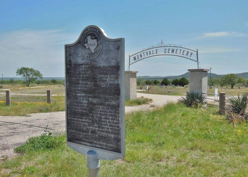
Location. 31° 48.692′ N, 100° 56.413′ W. Marker is near Sterling City, Texas, in Sterling County. Marker is on U.S. 87, 0.3 miles south of Sherwood Lane, on the right when traveling south. Marker is located at the entrance to Montvale Cemetery. Touch for map. Marker is in this post office area: Sterling City TX 76951, United States of America. Touch for directions.
Other nearby markers. At least 7 other markers are within 19 miles of this marker, measured as the crow flies. Sterling County (approx. 3.3 miles away); Sterling County Jail (approx. 3.3 miles away); State Hotel – First State Bank (approx. 3.3 miles away); Concho, San Saba & Llano Valley Railroad Station (approx. 3.4 miles away); Town of Cummins (approx. 5.1 miles away); Camp Elizabeth (approx. 12.4 miles away); Old Community of Cedar Hill (approx. 18.2 miles away).
Also see . . . Montvale. With the coming of the settlers, Sterling City was established. In 1891, only the three towns of Montvale, Cummins, and Sterling City had existed along the Concho River in the area now known as Sterling County, and businesses were being established at Sterling City. Some of these had existed previously at Montvale,
about 3 miles from Sterling City. As Sterling City's population was growing, Montvale's population was diminishing. Part of the population of Montvale had moved to Cummins before Sterling City was started, and by the summer of 1891, most of the businesses of Montvale had moved out. The editor of the Sterling Courier on June 11, 1891, had mentioned that Sterling County contained two small towns, Sterling City and Cummins. With the disappearance of the city of Montvale, Cummins and Sterling City were now the only towns in contention for the county seat. (Submitted on April 3, 2018, by Cosmos Mariner of Cape Canaveral, Florida.)
Credits. This page was last revised on April 4, 2018. It was originally submitted on April 3, 2018, by Cosmos Mariner of Cape Canaveral, Florida. This page has been viewed 1,480 times since then and 174 times this year. Photos: 1, 2, 3, 4, 5. submitted on April 3, 2018, by Cosmos Mariner of Cape Canaveral, Florida. • Bernard Fisher was the editor who published this page.
