Riverside Addition: World War II Housing in Orange
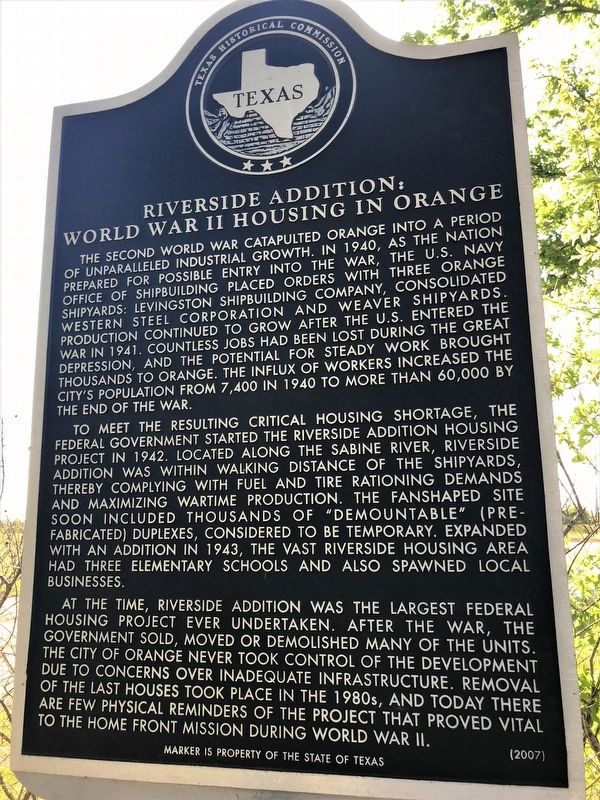
The second World War catapulted Orange into a period of unparalleled industrial growth. In 1940, as the nation prepared for possible entry into the war, the U.S. Navy Office of Shipbuilding placed orders with three shipyards: Levingston Shipbuilding Company, Consolidated Western Steel Corporation and Weaver Shipyards. Production continued to grow after the U.S. entered the war in 1941. Countless jobs had been lost during the Great Depression, and the potential for steady work brought thousands to Orange. The influx of workers increased the city’s population from 7,400 in 1940 to more than 60,000 by the end of the war.
To meet the resulting critical housing shortage, the federal government started the Riverside Addition Housing Project in 1942. Located along the Sabine River, Riverside Addition was within walking distance of the shipyards, thereby complying with fuel and tire rationing demands and maximizing wartime production. The fan-shaped site soon included thousands of “demountable” (prefabricated) duplexes, considered to be temporary. Expanded with an addition in 1943, the vast Riverside housing area
this page online
At the time, Riverside Addition was the largest federal housing project ever undertaken. After the war, the government sold, moved or demolished many of the units. The city of Orange never took control of the development due to concerns over inadequate infrastructure. Removal of the last houses took place in the 1980s, and today there are few physical reminders of the project that proved vital to the home front mission during World War II.
Erected 2007 by Texas Historical Commission. (Marker Number 13970.)
Topics. This historical marker is listed in this topic list: War, World II.
Location. 30° 5.661′ N, 93° 43.575′ W. Marker is in Orange, Texas, in Orange County. It is on Simmons Drive (Business U.S. 90) near West Elm Avenue, on the left when traveling south. Touch for map. Marker is in this post office area: Orange TX 77630, United States of America. Touch for directions.
Regionally, this marker is in Texas’ Golden Triangle. It is also in the American South, on the Gulf Coast, and in the Piney Woods.
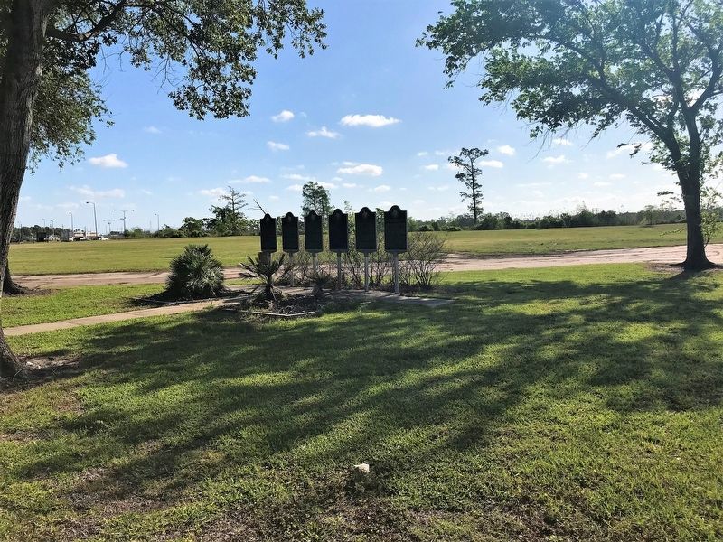
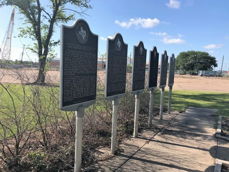
Other nearby markers. At least 8 other markers are within walking distance of this marker: Weaver Shipbuilding (here, next to this marker); U.S.S. Aulick (here, next to this marker); Levingston Shipbuilding Company (here, next to this marker); United States Naval Inactive Ship Maintenance Facility (here, next to this marker); Office of the Supervisor of Shipbuilding and Consolidated Steel Corporation (here, next to this marker); The Neyland-Gilmer House (approx. 0.3 miles away); The Orange Leader (approx. 0.4 miles away); John Harmon (approx. 0.4 miles away). Touch for a list and map of all markers in Orange.
More about this marker. Located at the eastern terminus of West Elm Avenue.

Credits. This page was last revised on January 20, 2026. It was originally submitted on April 13, 2018, by Cajun Scrambler of Assumption, Louisiana. This page has been viewed 2,075 times since then and 159 times this year. Photos: 1, 2, 3. submitted on April 13, 2018. 4. submitted on January 20, 2026, by Jeff Leichsenring of Garland, Texas.
