Pittsboro in Chatham County, North Carolina — The American South (South Atlantic)
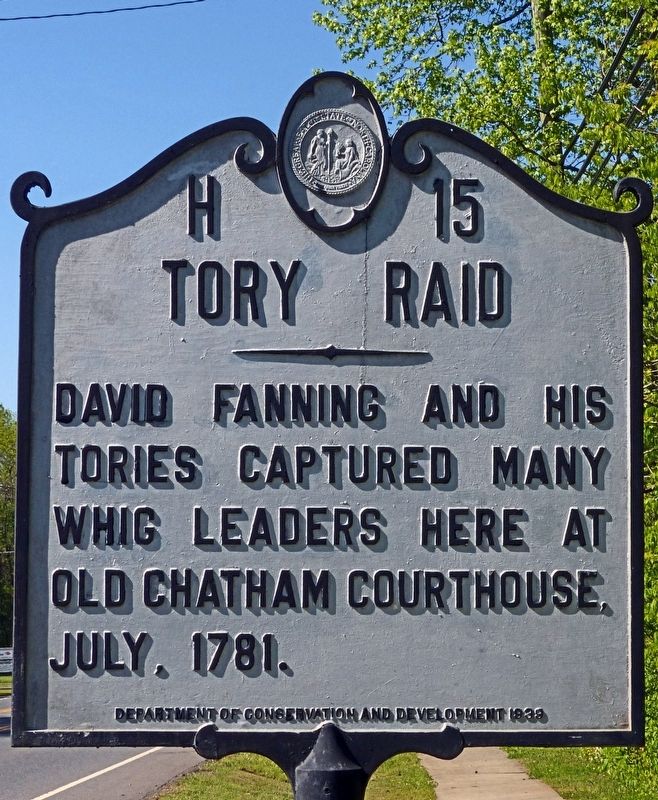
Tory Raid
Erected 1939 by Department of Conservation and Development. (Marker Number H-15.)
Topics and series. This historical marker is listed in this topic list: War, US Revolutionary. In addition, it is included in the North Carolina Division of Archives and History series list. A significant historical month for this entry is July 1781.
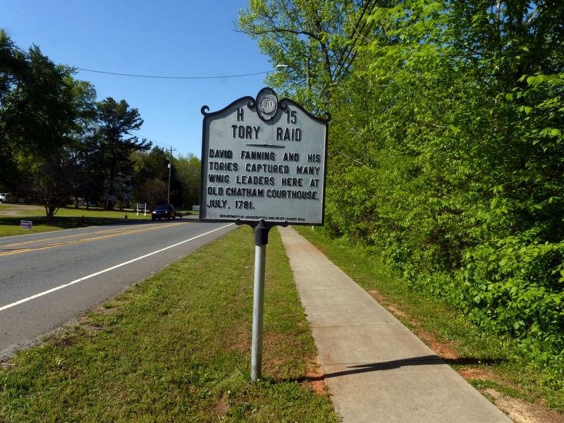
Location. 35° 42.764′ N, 79° 10.708′ W. Marker is in Pittsboro, North Carolina, in Chatham County. Marker is on Sanford Road (U.S. 15/501) when traveling north. Touch for map. Marker is at or near this postal address: 540 Sanford Road, Pittsboro NC 27312, United States of America. Touch for directions.
Other nearby markers. At least 8 other markers are within walking distance of this marker. Lynching in America / Lynching in Chatham County (approx. half a mile away); Charles Manly (approx. 0.6 miles away); Law Office of Charles Manly (approx. 0.6 miles away); James I. Waddell (approx. 0.6 miles away); Hall-London House (approx. 0.7 miles away); Henry A. London (approx. 0.7 miles away); Abraham Rencher (approx. 0.7 miles away); John Owen (approx. 0.7 miles away). Touch for a list and map of all markers in Pittsboro.
Also see . . .
1. Tory Raid. North Carolina Historical Markers. (Submitted on May 4, 2018, by Allen C. Browne of Silver Spring, Maryland.)
2. David Fanning. by Lindley S. Butler, 1986, NCpedia. (Submitted on May 4, 2018, by Allen C. Browne of Silver Spring, Maryland.)
Credits. This page was last revised on June 24, 2021. It was originally submitted on May 4, 2018, by Allen C. Browne of Silver Spring, Maryland. This page has been viewed 487 times since then and 39 times this year. Photos: 1, 2, 3. submitted on May 4, 2018, by Allen C. Browne of Silver Spring, Maryland. • Andrew Ruppenstein was the editor who published this page.


