Bakersfield in Kern County, California — The American West (Pacific Coastal)
First Baptist Church
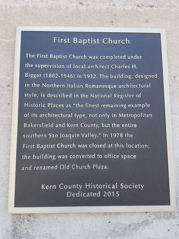
Photographed by Denise Boose, May 13, 2018
1. First Baptist Church Marker
Erected 2015 by Kern County Historical Society.
Topics. This historical marker is listed in these topic lists: Architecture • Religion & Religious Structures. A significant historical year for this entry is 1932.
Location. 35° 22.412′ N, 119° 0.953′ W. Marker is in Bakersfield, California, in Kern County. It is on Truxton Street near L Street, on the right when traveling west. The building is located on the corner of Truxten and L Streets. Touch for map. Marker is at or near this postal address: 1200 Truxton Street, Bakersfield CA 93301, United States of America. Touch for directions.

Regionally,
this page online
Other nearby markers. At least 8 other markers are within walking distance of this marker: KoЯn (about 700 feet away, measured in a direct line); Kern County Vietnam War Memorial (approx. 0.2 miles away); Haberfelde Building (approx. 0.2 miles away); Site of Baker's Field (approx. 0.2 miles away); Kern County Hall of Records (approx. 0.2 miles away); Colonel Thomas Baker (approx. 0.2 miles away); Kress Building (approx. 0.2 miles away); Kern County Courthouse (approx. ¼ mile away). Touch for a list and map of all markers in Bakersfield.
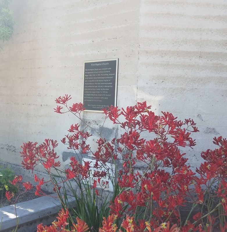
Photographed by Denise Boose, May 13, 2018
2. First Baptist Church Marker
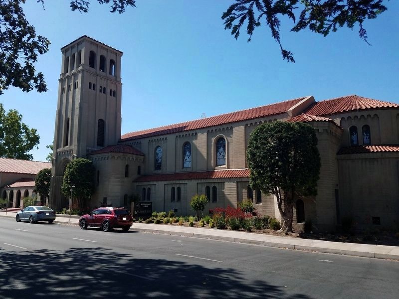
Photographed by Denise Boose, May 13, 2018
3. First Baptist Church Building
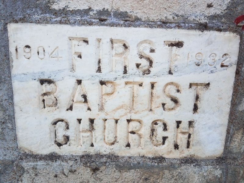
Photographed by Denise Boose, May 13, 2018
4. First Baptist Church Marker
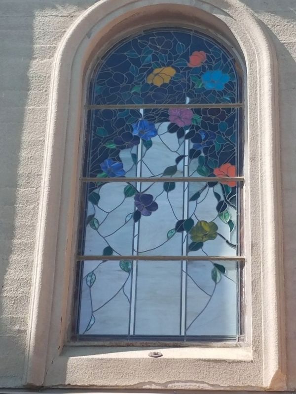
Photographed by Denise Boose, May 13, 2018
5. First Baptist Church
Credits. This page was last revised on February 16, 2025. It was originally submitted on May 14, 2018, by Denise Boose of Tehachapi, California. This page has been viewed 821 times since then and 68 times this year. Photos: 1, 2, 3, 4, 5. submitted on May 14, 2018, by Denise Boose of Tehachapi, California. • Syd Whittle was the editor who published this page.
