City of London in Greater London, England, United Kingdom — Northwestern Europe (the British Isles)
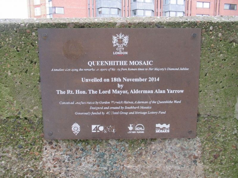
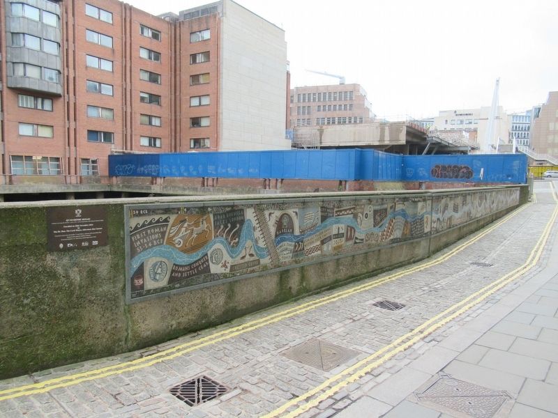
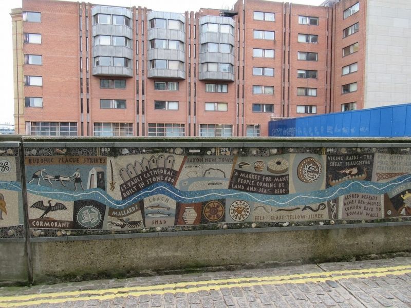
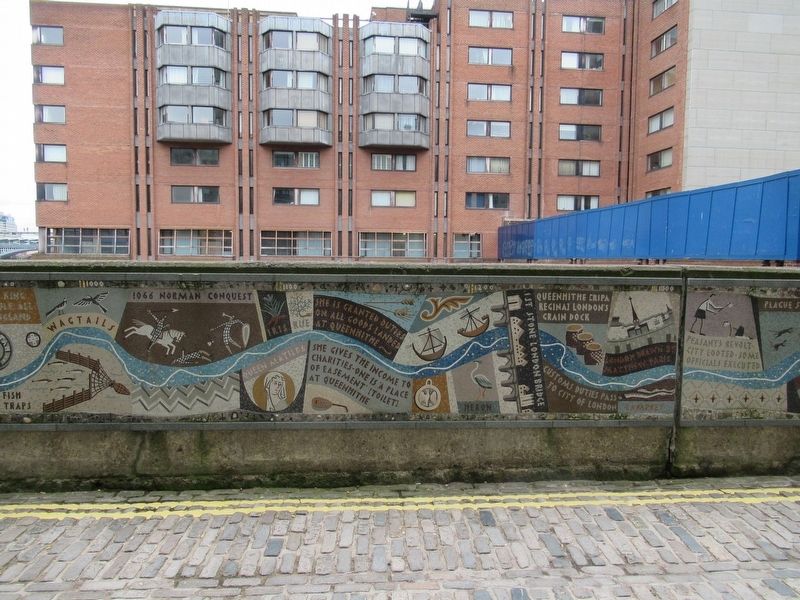
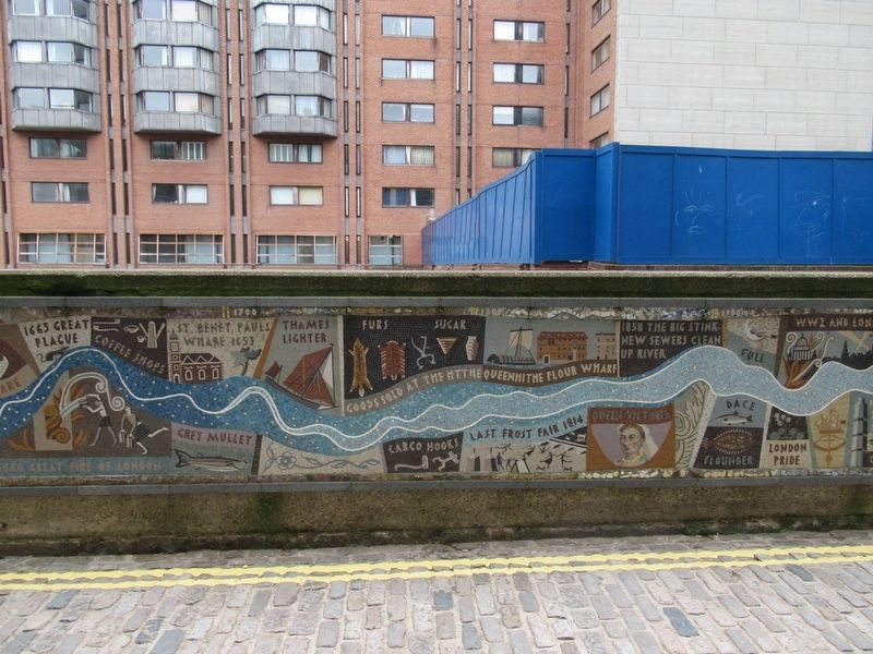
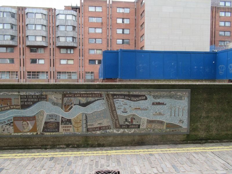
Queenhithe Mosaic
A timeline displaying the remarkable layers of history from Roman times to Her Majesty’s Diamond Jubilee
Unveiled on 18th November 2014
by
The Rt. Hon. The Lord Mayor, Alderman Alan Yarrow
Conceived and facilitated by Gordon Warwick Haines, Alderman of the Queenhithe Ward
Designed and created by Southbank Mosaics
Generously funded by 4C Hotel Group and Heritage Lottery Fund
Erected 2014.
Topics. This historical marker is listed in this topic list: Arts, Letters, Music. A significant historical date for this entry is November 18, 2014.
Location. 51° 30.63′ N, 0° 5.704′ W. Marker is in City of London, England, in Greater London. Marker can be reached from the intersection of Upper Thames Street and Queenhithe, on the right when traveling east. Located on the Riverside Walk (Thames Path). Touch for map. Marker is in this post office area: City of London, England EC4V 3EH, United Kingdom. Touch for directions.
Other nearby markers. At least 8 other markers are within walking distance of this marker. Queenhithe (a few steps from this marker); The Alfred Plaque (within shouting distance of this marker); Foundation Stone (about 90 meters away, measured in a direct line); Sunlight Wharf (about 150 meters away); Walbrook Wharf (about 210 meters away); St. Thomas the Apostle Church (about 210 meters away); Whittington Garden (about 210 meters away); The Sugarloaf (approx. 0.2 kilometers away). Touch for a list and map of all markers in City of London.
Credits. This page was last revised on January 27, 2022. It was originally submitted on May 28, 2018, by Michael Herrick of Southbury, Connecticut. This page has been viewed 475 times since then and 272 times this year. Photos: 1, 2, 3, 4, 5, 6. submitted on May 28, 2018, by Michael Herrick of Southbury, Connecticut.
