Coronado in San Diego County, California — The American West (Pacific Coastal)
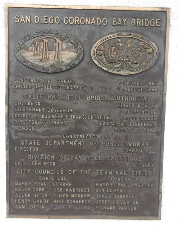
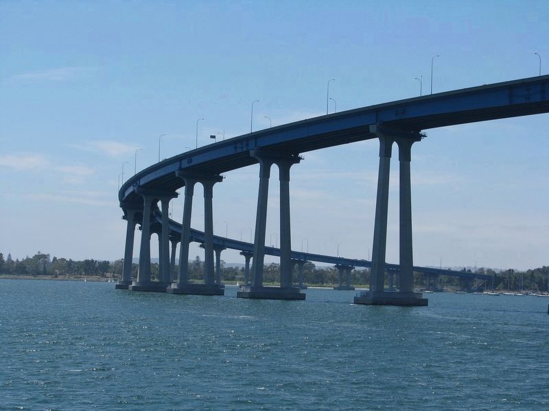
San Diego-Coronado Bay Bridge
Inscription.
Bridge Opened to Traffic August, 1969
State Department of Public Works
Director James A. Moe
Division of Bay Toll Crossings
Chief Engineer E.R. Foley
City Councils of the Terminal Cities
San Diego
Erected 1969 by State Department of Public Works.
Topics. This historical marker is listed in this topic list: Bridges & Viaducts. A significant historical month for this entry is August 1969.
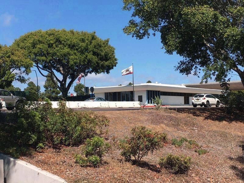
Location. 32° 41.452′ N, 117° 10.046′ W. Marker is in Coronado, California, in San Diego County. Marker can be reached from State Highway 75 when traveling east. Marker is located at bridge administration building. Touch for map. Marker is in this post office area: Coronado CA 92118, United States of America. Touch for directions.
Other nearby markers. At least 8 other markers are within walking distance of this marker. Sacred Heart Church - 1920 (approx. half a mile away); The Stockdale Tribute (approx. 0.6 miles away); Carrothers Court (approx. 0.6 miles away); Babcock Court (approx. 0.6 miles away); Coronado Ferryboat Terminal (approx. 0.6 miles away); First Firehouse Site - 1892 (approx. 0.6 miles away); Carlin House - 1939 (approx. 0.6 miles away); Centennial Park (approx. 0.6 miles away). Touch for a list and map of all markers in Coronado.
Credits. This page was last revised on May 31, 2018. It was originally submitted on May 28, 2018, by Col. James F. Jamison, USMC (Ret) of Coronado, California. This page has been viewed 498 times since then and 49 times this year. Photos: 1. submitted on May 29, 2018, by Col. James F. Jamison, USMC (Ret) of Coronado, California. 2. submitted on May 31, 2018, by Col. James F. Jamison, USMC (Ret) of Coronado, California. 3. submitted on May 29, 2018. • Syd Whittle was the editor who published this page.


