Purvis in Lamar County, Mississippi — The American South (East South Central)
Purvis
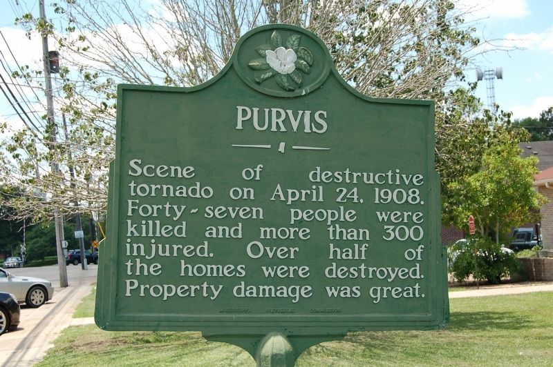
Photographed by Cajun Scrambler, June 5, 2018
1. Purvis Marker
Scene of destructive tornado on April 24, 1908. Forty-seven people were killed and more than 300 injured. Over half of the homes were destroyed. Property damage was great.
Erected by Mississippi Historical Commission.
Topics. This historical marker is listed in these topic lists: Disasters • Settlements & Settlers. A significant historical date for this entry is April 24, 1908.
Location. 31° 8.598′ N, 89° 24.618′ W. Marker is in Purvis, Mississippi, in Lamar County. It is on Shelby Speights Road west of Weems Street, on the right when traveling west. Touch for map. Marker is at or near this postal address: 122 Shelby Speights Drive, Purvis MS 39475, United States of America. Touch for directions.

Regionally, this marker is in Mississippi’s Pine Belt. It is also in the American South, specifically in the Deep South, and in the Piney Woods. Globally, it is in North America, a Gulf of Mexico state, the Western Hemisphere, the Western World, and the Anglosphere. Historically, it finds itself in what was once New Spain, the territory of the Mississippian Culture, one of the Confederate States of America,
this page online
Other nearby markers. At least 8 other markers are within 12 miles of this marker, measured as the crow flies: Dixie School Log Cabin (approx. 8.2 miles away); Projects Dribble and Miracle Play (approx. 9½ miles away); The Last Bare Knuckle Prize Fight (approx. 9.7 miles away); Bay Creek Baptist Church (approx. 9.8 miles away); Old West Florida (approx. 10.1 miles away); U.S. Post Office (approx. 10.2 miles away); Bonhomie (approx. 11½ miles away); Latrine (approx. 11.6 miles away).
More about this marker. Located in front of Library
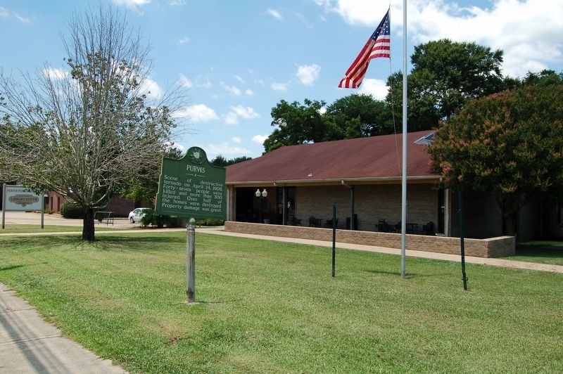
Photographed by Cajun Scrambler, June 5, 2018
2. Purvis Marker
Credits. This page was last revised on September 25, 2022. It was originally submitted on June 6, 2018, by Cajun Scrambler of Assumption, Louisiana. This page has been viewed 586 times since then and 48 times this year. Photos: 1, 2. submitted on June 6, 2018.
