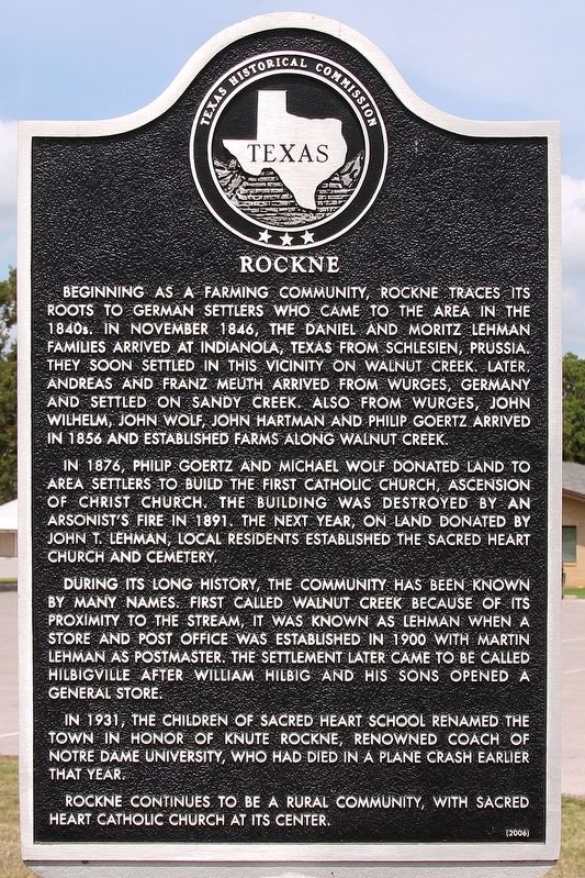
Rockne
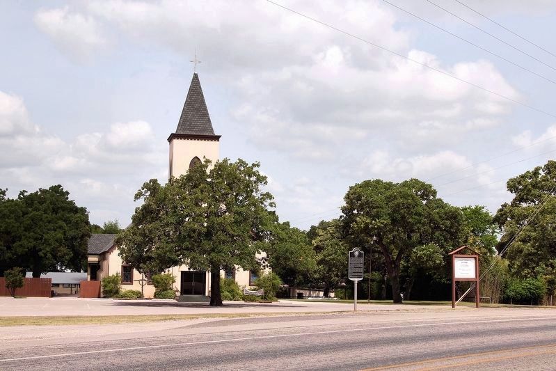
In 1876, Philip Goertz and Michael Wolf donated land to area settlers to build the first Catholic church, Ascension of Christ Church. The building was destroyed by an arsonist's fire in 1891. The next year, on land donated by John T. Lehman, local residents established the Sacred Heart Church and Cemetery.
During its long history, the community has been known by many names. First called Walnut Creek because of its proximity to the stream, it was known as Lehman when a store and post office was established in 1900 with Martin Lehman as postmaster. The settlement later came to be called Hilbigville after William Hilbig and his sons opened a general store.
In 1931, the children of Sacred Heart School renamed the town in honor of Knute Rockne, renowned coach of Notre Dame University, who had died in a plane crash earlier that year.
Rockne
continues to be a rural community, with Sacred Heart Catholic Church at its center.Erected 2006 by Texas Historical Commission. (Marker Number 9223.)
Topics. This historical marker is listed in this topic list: Settlements & Settlers. A significant historical month for this entry is November 1846.
Location. 29° 59.746′ N, 97° 25.86′ W. Marker is near Bastrop, Texas, in Bastrop County. Marker is on Farm to Market Road 535, 0.1 miles east of Lehman Lane (County Highway 233), on the right when traveling east. Touch for map. Marker is in this post office area: Bastrop TX 78602, United States of America. Touch for directions.
Other nearby markers. At least 8 other markers are within 10 miles of this marker, measured as the crow flies. Samuel Wolfenberger (approx. 1.9 miles away); New Red Rock Cemetery (approx. 2.7 miles away); Old Red Rock Cemetery (approx. 3.2 miles away); Kings Highway Camino Real — Old San Antonio Road (approx. 7.2 miles away); Saint John Colony (approx. 7.3 miles away); a different marker also named Kings Highway Camino Real — Old San Antonio Road (approx. 8.1 miles away); Young School House and Cemetery (approx. 9.3 miles away); Stephen Scallorn (approx. 9.6 miles away). Touch for a list and map of all markers in Bastrop.
Credits. This page was last revised on June 6, 2020. It was originally submitted on June 7, 2018, by Larry D. Moore of Del Valle, Texas. This page has been viewed 405 times since then and 48 times this year. Photos: 1, 2. submitted on June 7, 2018, by Larry D. Moore of Del Valle, Texas. • Andrew Ruppenstein was the editor who published this page.

