Kerhonkson in Ulster County, New York — The American Northeast (Mid-Atlantic)
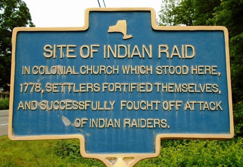
Site of Indian Raid
1778, settlers fortified themselves,
and successfully fought off attack
of Indian raiders.
Topics. This historical marker is listed in these topic lists: Churches & Religion • Settlements & Settlers. A significant historical year for this entry is 1778.
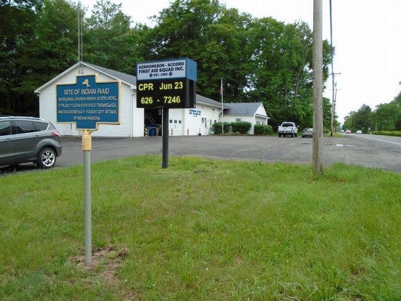
Location. 41° 47.071′ N, 74° 16.879′ W. Marker is in Kerhonkson, New York, in Ulster County. Marker is on U.S. 209, 0.8 miles east of Samsonville Road, on the right when traveling east. Touch for map. Marker is at or near this postal address: 6055 US Hwy 209, Kerhonkson NY 12446, United States of America. Touch for directions.
Other nearby markers. At least 8 other markers are within 3 miles of this marker, measured as the crow flies. Colonial Fort (approx. half a mile away); War Memorial (approx. 1.1 miles away); Oklahoma City Bombing Memorial (approx. 1.1 miles away); Rochester Church (approx. 2 miles away); Home of Johannes G. Hardenbergh (approx. 2 miles away); Tom Quick Farm (approx. 2.1 miles away); Training Field (approx. 2.9 miles away); Alton Brooks Parker (approx. 3 miles away). Touch for a list and map of all markers in Kerhonkson.
Credits. This page was last revised on June 9, 2018. It was originally submitted on June 9, 2018, by William Fischer, Jr. of Scranton, Pennsylvania. This page has been viewed 358 times since then and 37 times this year. Photos: 1, 2. submitted on June 9, 2018, by William Fischer, Jr. of Scranton, Pennsylvania.

