Craryville in Columbia County, New York — The American Northeast (Mid-Atlantic)
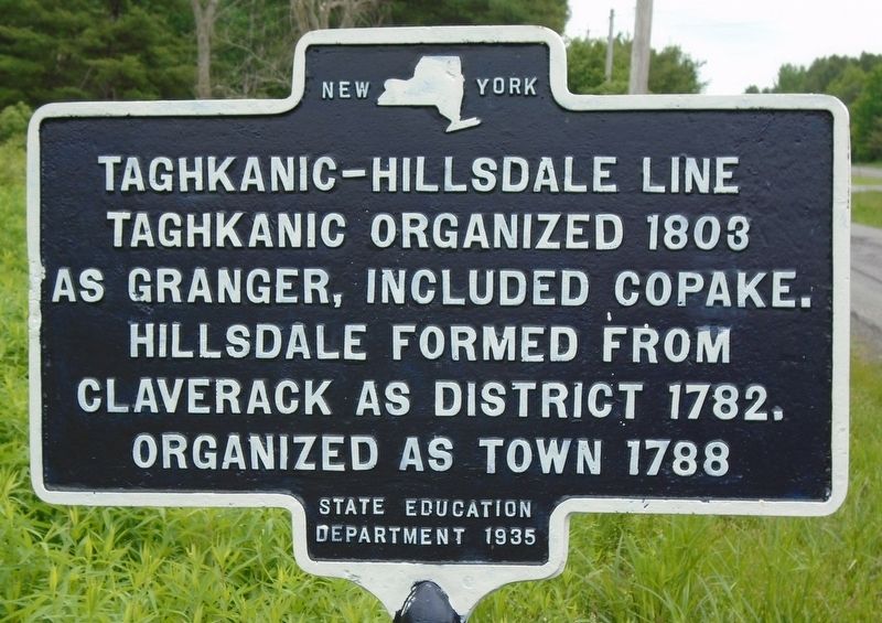
Taghkanic-Hillsdale Line
as Granger, included Copake.
Hillsdale formed from
Claverack as District 1782.
Organized as town 1788.
Erected 1935 by State Education Department.
Topics. This historical marker is listed in this topic list: Political Subdivisions. A significant historical year for this entry is 1803.
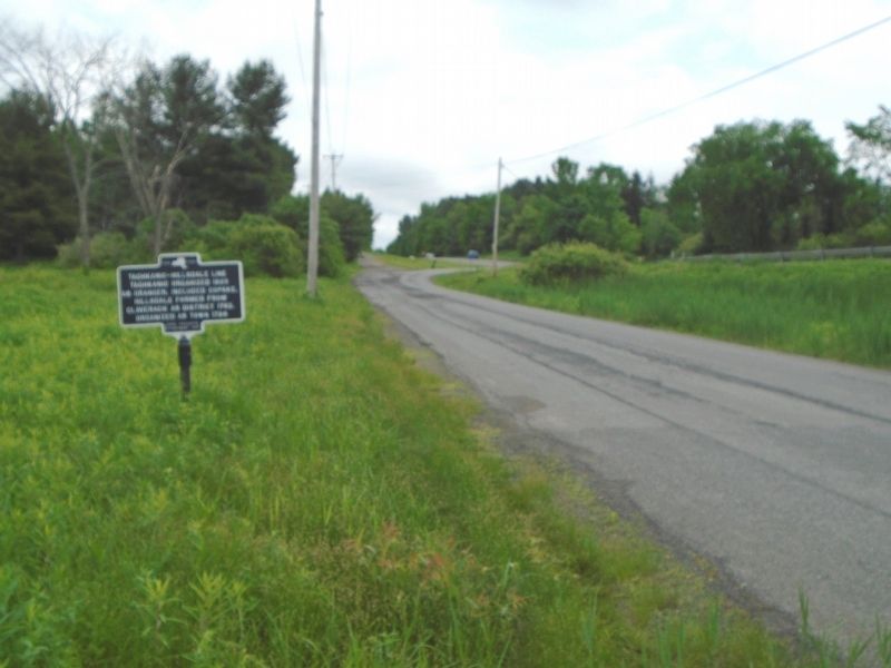
Location. 42° 10.933′ N, 73° 36.431′ W. Marker is in Craryville, New York, in Columbia County. Marker is on New York State Route 23 west of Lockwood Road, on the right when traveling west. Marker is along Lockwood Road but visible from NY Route 23. Touch for map. Marker is in this post office area: Craryville NY 12521, United States of America. Touch for directions.
Other nearby markers. At least 8 other markers are within 6 miles of this marker, measured as the crow flies. Hillsdale Soldiers and Sailors Monument (approx. 4.2 miles away); The Veterans Memorial Garden of Hillsdale (approx. 4.3 miles away); American Revolution Memorial (approx. 4.4 miles away); Taghkanic Hamlet (approx. 4˝ miles away); Copake-Hillsdale Line (approx. 4˝ miles away); Village of Philmont World War Memorial (approx. 5.1 miles away); Plow Furnace (approx. 5.3 miles away); Columbia County (approx. 5.6 miles away).
Credits. This page was last revised on June 13, 2018. It was originally submitted on June 13, 2018, by William Fischer, Jr. of Scranton, Pennsylvania. This page has been viewed 133 times since then and 14 times this year. Photos: 1, 2. submitted on June 13, 2018, by William Fischer, Jr. of Scranton, Pennsylvania.

