Monroe in Benton County, Oregon — The American West (Northwest)
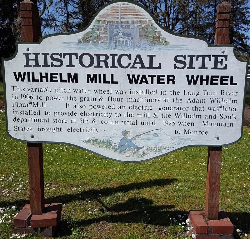
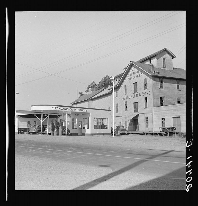
Wilhelm Mill Water Wheel
Historical Site
Topics. This historical marker is listed in this topic list: Industry & Commerce. A significant historical year for this entry is 1906.
Location. 44° 18.773′ N, 123° 17.67′ W. Marker is in Monroe, Oregon, in Benton County. Marker is on Pacific Hwy W (Oregon Route 99), on the right when traveling west. Touch for map. Marker is in this post office area: Monroe OR 97456, United States of America. Touch for directions.
Other nearby markers. At least 8 other markers are within 8 miles of this marker, measured as the crow flies. The Applegate Trail (approx. ¼ mile away); The Belknap Settlement (approx. ¼ mile away); Ebenezer Schoolhouse (approx. 3.3 miles away); a different marker also named Applegate Trail (approx. 4½ miles away); “The Struggle Has Ended” (approx. 6.9 miles away); Lee House (approx. 7.9 miles away); Junction City — A Brief History (approx. 7.9 miles away); Locomotive 418 (approx. 7.9 miles away). Touch for a list and map of all markers in Monroe.
Credits. This page was last revised on June 26, 2018. It was originally submitted on June 25, 2018, by Douglass Halvorsen of Klamath Falls, Oregon. This page has been viewed 509 times since then and 39 times this year. Photos: 1, 2, 3, 4. submitted on June 25, 2018, by Douglass Halvorsen of Klamath Falls, Oregon. • Andrew Ruppenstein was the editor who published this page.


