Pot Kiln
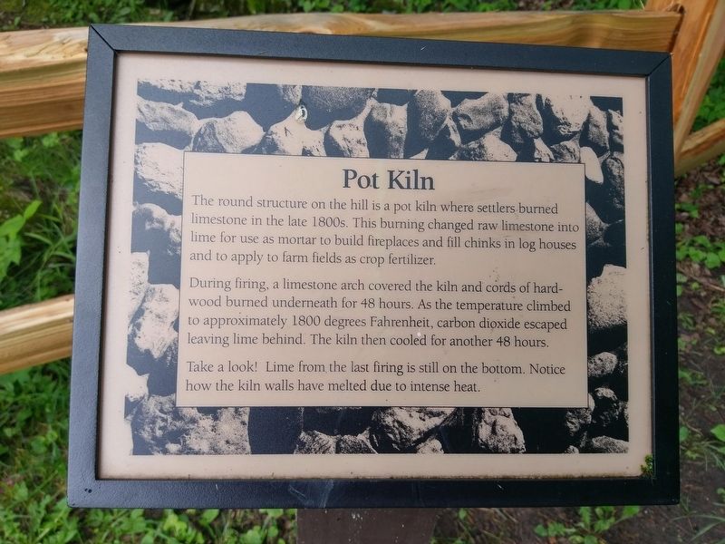
During firing, a limestone arch covered the kiln and cords of hardwood burned underneath for 48 hours. As the temperature climbed to approximately 1800 degrees Fahrenheit, carbon dioxide escaped leaving lime behind. The kiln then cooled for another 48 hours.
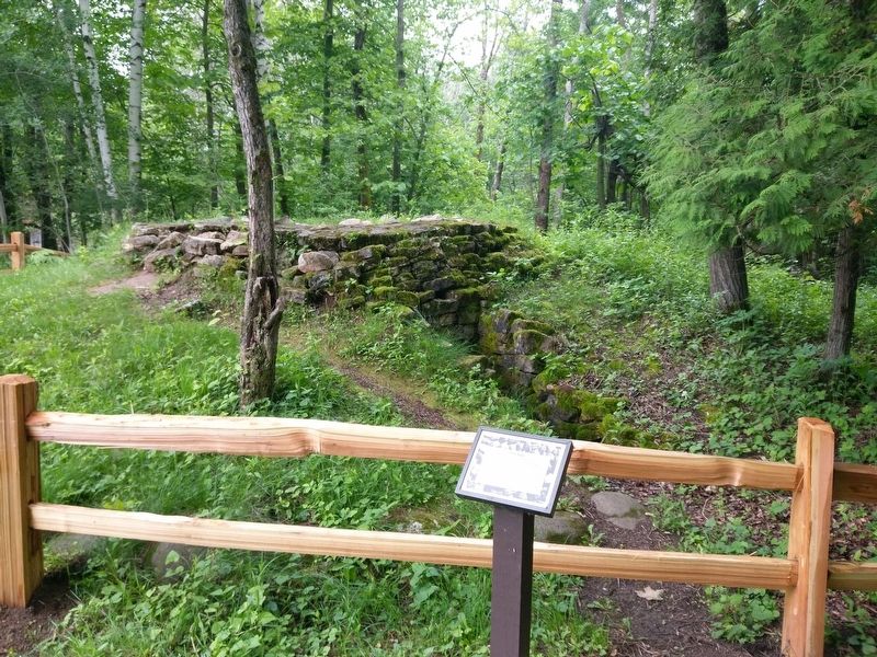
Take a look! Lime from the last firing is still on the bottom. Notice how the kiln walls have melted due to intense heat.
Topics. This historical marker is listed in this topic list: Industry & Commerce.
Location. 43° 29.779′ N, 87° 47.699′ W. Marker is in Belgium, Wisconsin, in Ozaukee County. The marker is located within Harrington Beach State Park. Touch for map. Marker is at or near this postal address: 531 County Rd D, Belgium WI 53004, United States of America. Touch for directions.
Other nearby markers. At least 8 other markers are within walking distance of this marker. Little Quarry (a few steps from this marker); The Company Town (about 300 feet away, measured in a direct line); Stonehaven Housing (approx. 0.2 miles away); From Booming Business to Quiet Park (approx. 0.2 miles away); A Reminder of Days Past
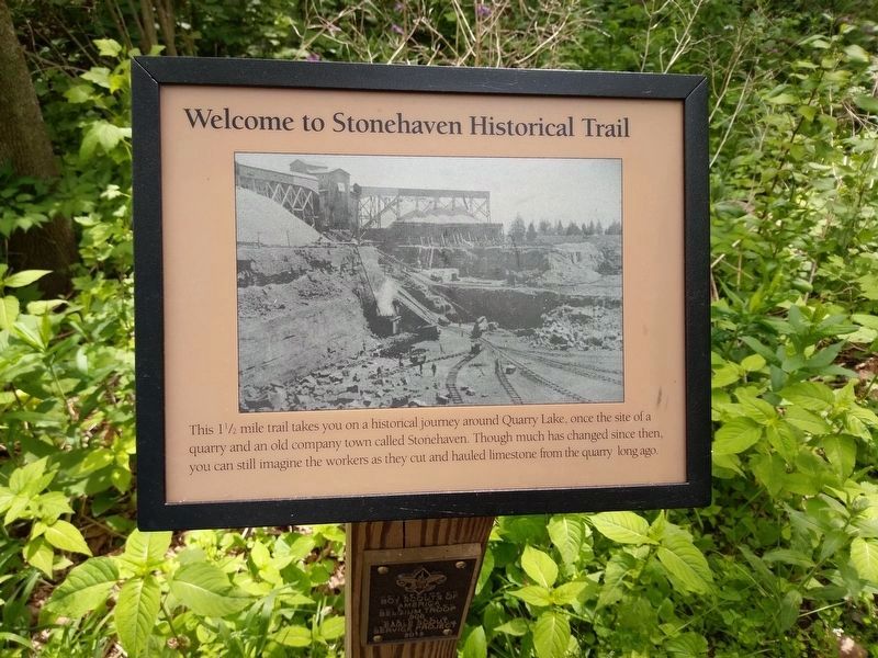
More about this marker. The marker is along the Stonehaven Historical Trail. The trail starts just south of the Ansay Welcome Center.
Credits. This page was last revised on May 10, 2020. It was originally submitted on June 26, 2018, by Devon Polzar of Port Washington, Wisconsin. This page has been viewed 187 times since then and 14 times this year. Last updated on May 9, 2020, by Devon Polzar of Port Washington, Wisconsin. Photos: 1, 2, 3. submitted on June 26, 2018, by Devon Polzar of Port Washington, Wisconsin. 4. submitted on May 9, 2020, by Devon Polzar of Port Washington, Wisconsin. • Mark Hilton was the editor who published this page.


