Bloomsburg in Columbia County, Pennsylvania — The American Northeast (Mid-Atlantic)
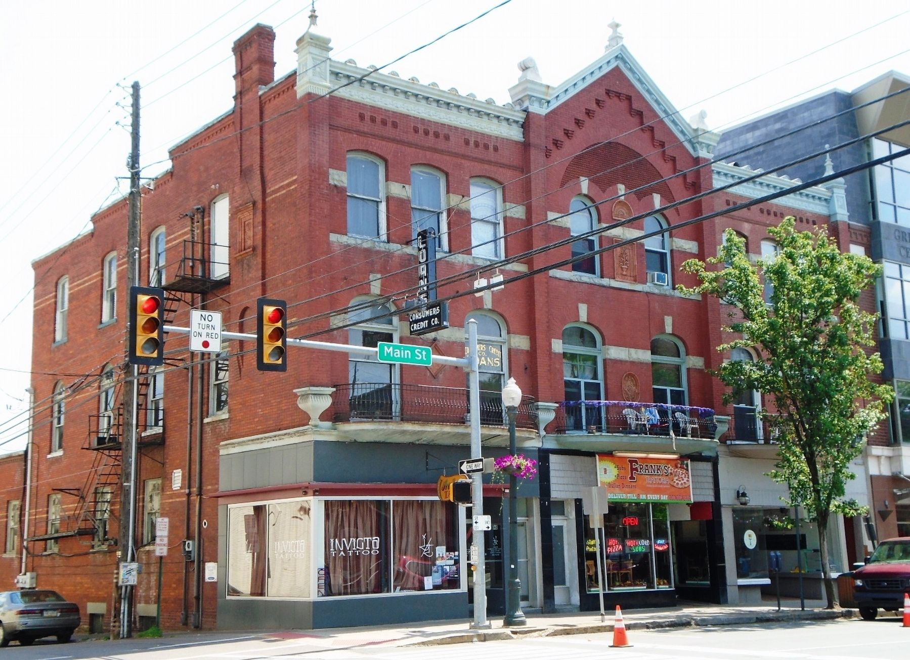
56-64 East Main Street
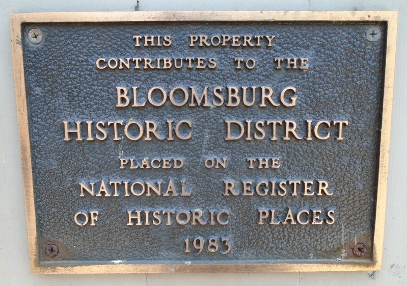
contributes to the
Bloomsburg
Historic District
Placed on the
National Register
of Historic Places
1983
Topics. This historical marker is listed in this topic list: Notable Buildings. A significant historical year for this entry is 1983.
Location. 41° 0.214′ N, 76° 27.318′ W. Marker is in Bloomsburg, Pennsylvania, in Columbia County. Marker is at the intersection of Main Street (U.S. 11) and Iron Street, on the right when traveling east on Main Street. Touch for map. Marker is at or near this postal address: 56-64 East Main Street, Bloomsburg PA 17815, United States of America. Touch for directions.
Other nearby markers. At least 8 other markers are within walking distance of this marker. Saint Paul's Episcopal Church (within shouting distance of this marker); 118 East Main Street (within shouting distance of this marker); 134-140 East Main Street (about 300 feet away, measured in a direct line); Columbia County Courthouse (about 500 feet away); Columbia County (about 500 feet away); Pursel Store Building (about 800 feet away); 225 Market Street (about 800 feet away); 235 Market Street (approx. 0.2 miles away). Touch for a list and map of all markers in Bloomsburg.
Also see . . . Bloomsburg National Register Historic District Nomination Form. (Submitted on June 27, 2018, by William Fischer, Jr. of Scranton, Pennsylvania.)
Credits. This page was last revised on June 27, 2018. It was originally submitted on June 27, 2018, by William Fischer, Jr. of Scranton, Pennsylvania. This page has been viewed 136 times since then and 12 times this year. Photos: 1, 2. submitted on June 27, 2018, by William Fischer, Jr. of Scranton, Pennsylvania.

