College Station in Brazos County, Texas — The American South (West South Central)
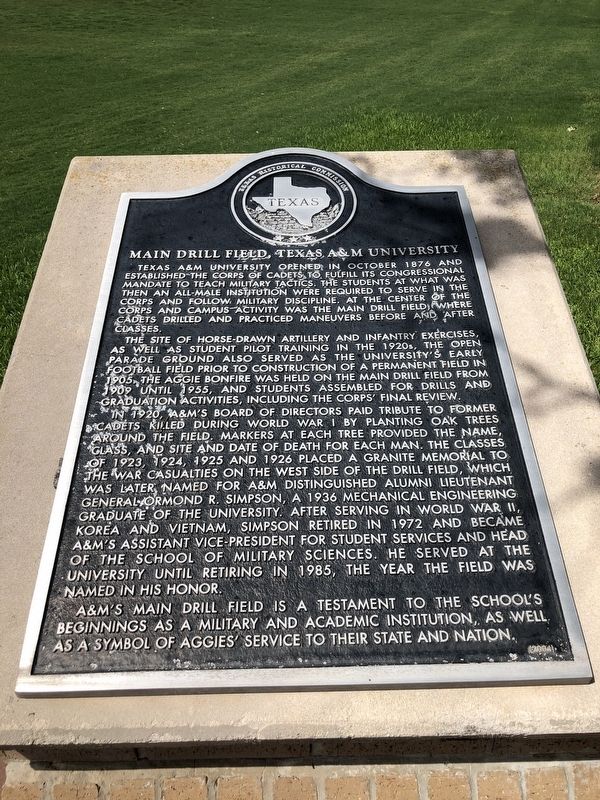
Main Drill Field, Texas A&M University
Photographed by Brian Anderson, July 1, 2018
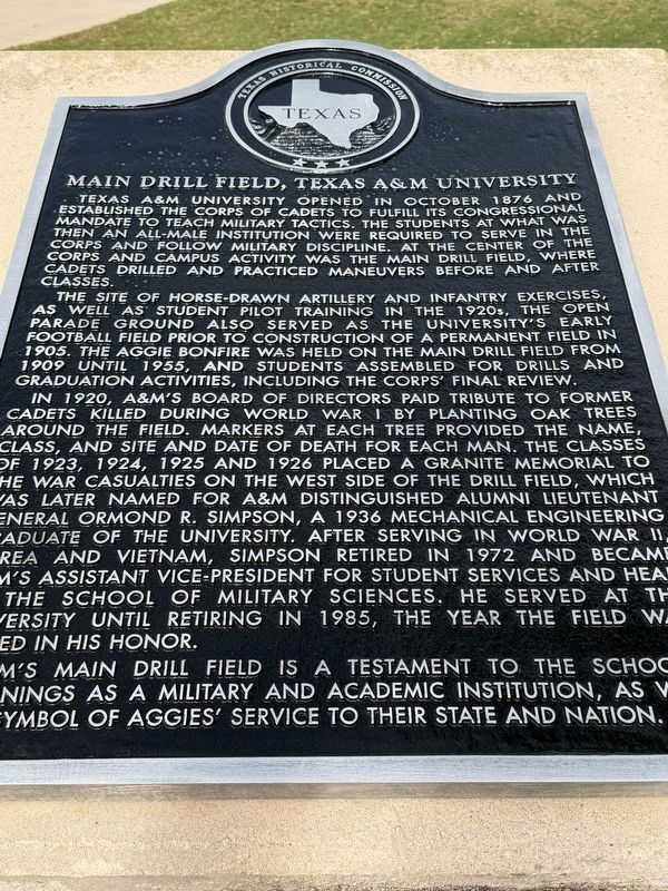
1. Main Drill Field, Texas A&M University Marker
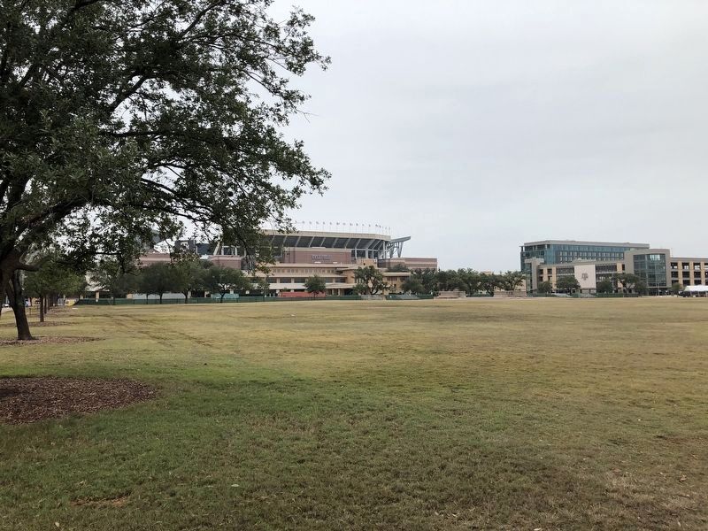
The site of horse-drawn artillery and infantry exercises, as well as student pilot training in the 1920s, the open parade ground also served as the university's early football field prior to construction of a permanent field in 1905. The Aggie Bonfire was held on the Main Drill Field from 1909 until 1955, and students assembled for drills and graduation activities, including the Corps' Final Review.
In 1920, A&M's Board of Directors paid tribute to former cadets killed during World War I by planting oak trees around the field. Markers at each tree provided the name, class and site and date of death for each man. The classes of 1923, 1924, 1925 and 1926 placed a granite memorial to the war casualties on the west side
this page online
A&M's Main Drill Field is a testament to the school's beginnings as a military and academic institution, as well as a symbol of Aggies' service to their state and nation.
Erected 2004 by Texas Historical Commission. (Marker Number 13369.)
Topics. This historical marker is listed in this topic list: Education. A significant historical month for this entry is October 1876.
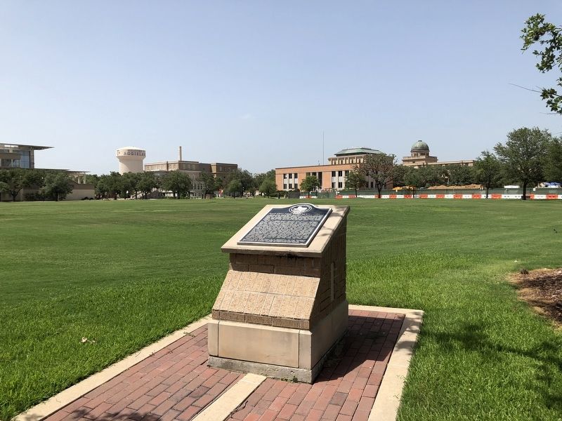
Location. 30° 36.794′ N, 96° 20.528′ W. Marker is in College Station, Texas, in Brazos County. It is on Lamar Street, on the left when traveling east. Marker is located on the Texas A&M University campus, near the review stand at the Simpson Drill Field. Touch for map. Marker is in this post office area: College Station TX 77844, United
Photographed by Brian Anderson, July 1, 2018
2. Main Drill Field, Texas A&M University Marker

Regionally, this marker is in the Prairies & Lakes Region. It is also in the American South. Globally, it is in North America, a Gulf of Mexico state, the Western Hemisphere, the Western World, and the Anglosphere. Historically, it finds itself in what was once New Spain, the Republic of Texas, one of the Confederate States of America, and the Antebellum South.
Other nearby markers. At least 8 other markers are within walking distance of this marker: Aggies in World War I (within shouting distance of this marker); Senator Matthew Gaines (about 400 feet away, measured in a direct line); The Twelfth Man (about 500 feet away); Hart Hall (about 500 feet away); James Earl Rudder (about 500 feet away); James Earl Rudder '32 (about 600 feet away); College Station Railroad Depots (about 600 feet away); Silver Taps (about 600 feet away). Touch for a list and map of all markers in College Station.
Photographed by Brian Anderson, November 18, 2018
3. Main Drill Field, Texas A&M University
Photographed by R. C., December 26, 2023
4. O.R. Simpson Drill Field, Texas A&M University
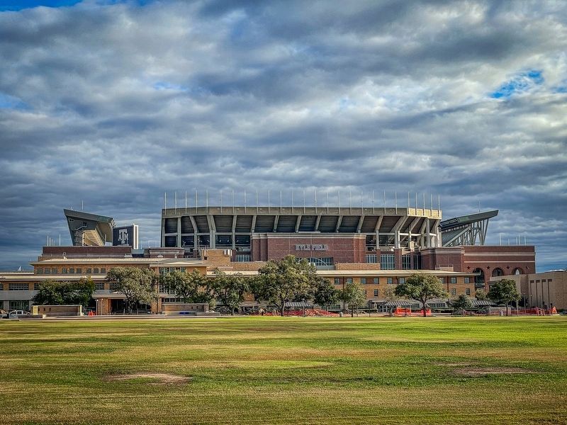
View towards Kyle Field from the North side of the O.R. Simpson Drill Field (formerly the Main Drill Field)
Photographed by Gary Estep, January 1, 2026
5. Main Drill Field, Texas A&M University Marker
Restored Marker
Credits. This page was last revised on January 4, 2026. It was originally submitted on July 3, 2018, by Brian Anderson of New Albany, Ohio. This page has been viewed 1,594 times since then and 88 times this year. Photos: 1, 2. submitted on July 3, 2018, by Brian Anderson of New Albany, Ohio. 3. submitted on November 19, 2018, by Brian Anderson of New Albany, Ohio. 4. submitted on December 28, 2023, by Ronald Claiborne of College Station, Texas. 5. submitted on January 1, 2026, by Gary Estep of Anna, Texas. • Andrew Ruppenstein was the editor who published this page.
