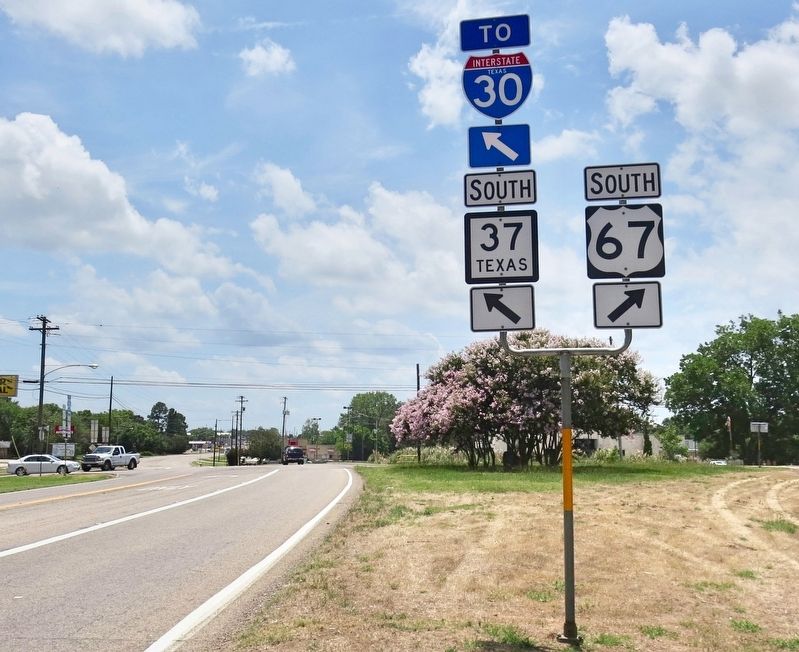
Near Mount Vernon in Franklin County, Texas — The American South (West South Central)
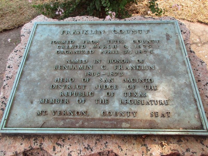
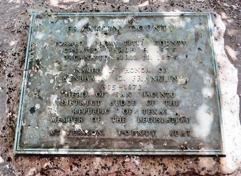
Franklin County
Created March 8, 1875
Organized April 30, 1875
Named in honor of
Benjamin C. Franklin
1805 – 1873
Hero of San Jacinto
District Judge of the
Republic of Texas.
Member of the Legislature
Mt. Vernon, County Seat.
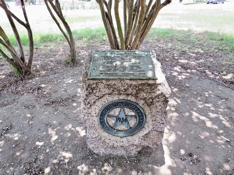
Erected 1936 by the State of Texas. (Marker Number 9843.)
Topics and series. This historical marker is listed in these topic lists: Settlements & Settlers • War, Texas Independence. In addition, it is included in the Texas 1936 Centennial Markers and Monuments series list. A significant historical date for this entry is March 8, 1875.
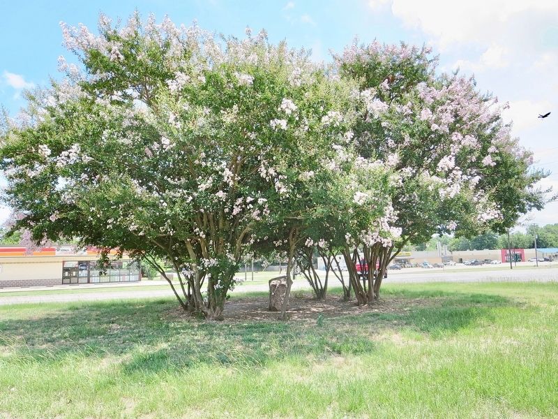
Location. 33° 11.066′ N, 95° 14.032′ W. Marker is near Mount Vernon, Texas, in Franklin County. Marker is at the intersection of Texas Route 37 and U.S. 67 on State Route 37. Located in a traffic triangle, under some trees. Touch for map. Marker is at or near this postal address: 213 TX-37, Mount Vernon TX 75457, United States of America. Touch for directions.
Other nearby markers. At least 8 other markers are within 3 miles of this marker, measured as the crow flies. First United Methodist Church of Mount Vernon (approx. 0.7 miles away); First Baptist Church of Mount Vernon (approx. ¾ mile away); Site of the Merchants and Planters National Bank (approx. ¾ mile away); Franklin County Courthouse (approx. 0.8 miles away); Rutherford Drugstore (approx. 0.8 miles away); The Wright-Vaughan House (approx. 0.9 miles away); Joshua Foster Johnson (approx. 1.2 miles away); Historic Roadside Park (approx. 2.9 miles away). Touch for a list and map of all markers in Mount Vernon.
Also see . . . Texas State Historical Association article on Franklin County. (Submitted on July 4, 2018, by Mark Hilton of Montgomery, Alabama.)
Credits. This page was last revised on September 15, 2023. It was originally submitted on July 4, 2018, by Mark Hilton of Montgomery, Alabama. This page has been viewed 252 times since then and 37 times this year. Photos: 1. submitted on September 14, 2023, by Jeff Leichsenring of Garland, Texas. 2, 3, 4, 5. submitted on July 4, 2018, by Mark Hilton of Montgomery, Alabama.
