Potosi in Washington County, Missouri — The American Midwest (Upper Plains)
Potosi
(side one)
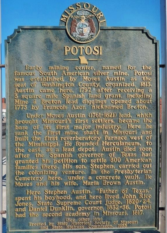
Early mining center, named for the famous South American silver mine, Potosi was established by Moses Austin as the seat of Washington County, organized, 1813. Austin came here, 1797, after receiving a 3 square mile Spanish land grant, including Mine ŗ Breton lead diggings opened about 1773 by Francois Azor, nicknamed Breton.
Under Moses Austin (1761-1821) lead, which brought Missouriís first settlers, became the base of its first major industry. Here he sank the first mine shaft in Missouri and built the first reverberatory furnace west of the Mississippi. He founded Herculaneum, to the east, as a lead depot. Austin died soon after the Spanish governor of Texas had granted his petition to settle 300 American families there. His son, Stephen, carried out the colonizing venture. In the Presbyterian Cemetery here, under a concrete vault, lie Moses and his wife, Maria Brown Austin.
Here Stephen Austin, “Father of Texas,” spent his boyhood, and here lived John Rice Jones, State Supreme Court judge, 1820-24, and Daniel Dunklin, governor, 1832-36. Potosi had the second academy in Missouri, 1817.
(side two)
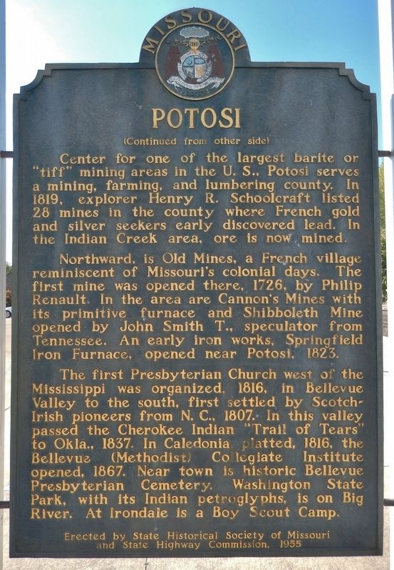
Northward, is Old Mines, a French village reminiscent of Missouriís colonial days. The first mine was opened there, 1726, by Philip Renault. In the area are Cannonís Mines with its primitive furnace and Shibboleth Mine opened by John Smith T., speculator from Tennessee. An early iron works, Springfield Iron Furnace, opened near Potosi, 1823.
The first Presbyterian Church west of the Mississippi was organized, 1816, in Bellevue Valley to the south, first settled by Scotch-Irish pioneers from N.C., 1807. In this valley, passed the Cherokee Indian “Trail of Tears” to Okla., 1837. Near town is historic Bellevue Presbyterian Cemetery. Washington State Park, with its Indian petroglyphs, is on Big River. At Irondale is a Boy Scout Camp.
Erected by State Historical Society of Missouri
and State Highway Commission, 1955
Erected 1955 by State Historical Society of Missouri and State Highway Commission.
Topics. This historical marker is listed in these topic lists: Churches & Religion • Exploration • Industry & Commerce • Settlements & Settlers. A significant historical year for this entry is 1813.
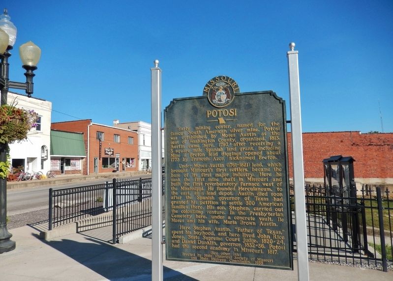
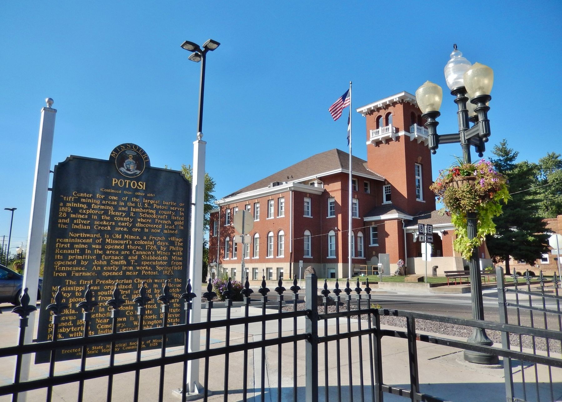
Location. 37° 56.173′ N, 90° 47.279′ W. Marker is in Potosi, Missouri, in Washington County. Marker is at the intersection of West High Street (Missouri Route 8) and South Missouri Street, on the right when traveling east on West High Street. Marker is located beside the sidewalk, in a small pedestrian plaza, at the east end of the Washington County Courthouse parking lot at this intersection. Touch for map. Marker is in this post office area: Potosi MO 63664, United States of America. Touch for directions.
Other nearby markers. At least 8 other markers are within 12 miles of this marker, measured as the crow flies. Durham Hall - 1798 (a few steps from this marker); Red Bridge (a few steps from this marker); Veterans Memorial (within shouting distance of this marker); In Memory of These Revolutionary Soldiers (within shouting distance of this marker); Bellevue Collegiate Institute (approx. 11 miles away); Heritage of Caledonia Missouri (approx. 11 miles away); Petroglyphs (approx. 11.4 miles away); Rock Carvings (approx. 11.4 miles away). Touch for a list and map of all markers in Potosi.
Related markers. Click here for a list of markers that are related to this marker.
Moses Austin
Also see . . . Potosi, Missouri. A lead mining settlement at this spot, "Mine ŗ Breton" or Mine au Breton, was founded between 1760 and 1780 by Francis Azor, of Brittany, France. Moses Austin came here in 1798 with his family, including his son Stephen F. Austin. Moses obtained a grant of 7,153 arpents of land from the Spanish Empire and started large-scale mining operations, building his town to support it. Moses named the town after PotosŪ in Bolivia, which was famous for its vast silver mines. Austin's tomb and the foundation of his home Durham Hall can still be seen (Submitted on June 24, 2018, by Cosmos Mariner of Cape Canaveral, Florida.)
Credits. This page was last revised on July 6, 2018. It was originally submitted on June 24, 2018, by Cosmos Mariner of Cape Canaveral, Florida. This page has been viewed 491 times since then and 71 times this year. Last updated on July 6, 2018, by Cosmos Mariner of Cape Canaveral, Florida. Photos: 1, 2, 3, 4. submitted on June 24, 2018, by Cosmos Mariner of Cape Canaveral, Florida. • Andrew Ruppenstein was the editor who published this page.


