
Tiffin in Seneca County, Ohio — The American Midwest (Great Lakes)
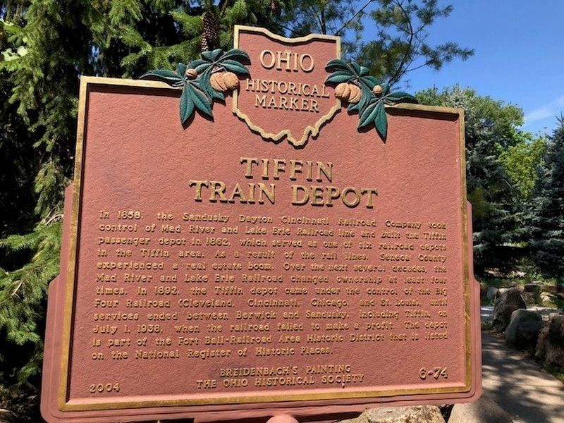
Tiffin Train Depot
⎯⎯⎯
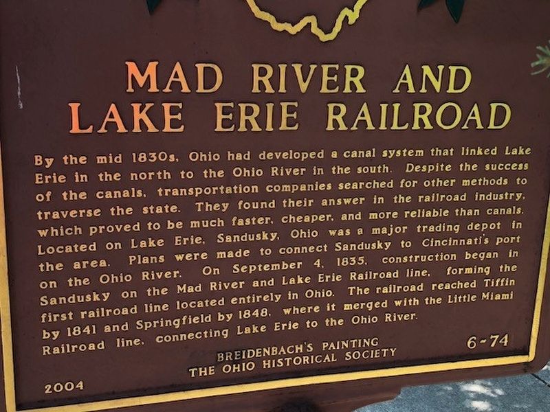
Mad River and Lake Erie Railroad
Photographed by Michael Baker
1. Tiffin Train Depot / Mad River and Lake Erie Railroad Marker
B) By the mid 1830's, Ohio had developed a canal system that linked Lake Erie in the north to the Ohio River in the south. Despite the success of the canals, transportation companies searched for other methods to traverse the state. Tehy found their answer in the railroad industry, which proved to be much faster, cheaper, and more reliable
this page online
Erected 2004 by Breidenbach's Painting, The Ohio Historical Society. (Marker Number 6-74.)
Topics and series. This historical marker is listed in this topic list: Railroads & Streetcars. In addition, it is included in the Ohio Historical Society / The Ohio History Connection series list.
Location. 41° 7.129′ N, 83° 10.737′ W. Marker is in Tiffin, Ohio, in Seneca County. It is at the intersection of North Monroe and Benner Street, on the right when traveling south on North Monroe. Touch for map. Marker is at or near this postal address: 65 North Monroe, Tiffin OH 44883, United States of America. Touch for directions.

Regionally,
Photographed by Michael Baker
2. Tiffin Train Depot / Mad River and Lake Erie Railroad Marker
Other nearby markers. At least 8 other markers are within walking distance of this marker: Seneca County Vietnam Veterans Memorial (about 400 feet away, measured in a direct line); Korean War (about 400 feet away); Seneca County Civil War Monument (about 400 feet away); World War I (about 400 feet away); Seneca County World War II Memorial (about 400 feet away); Camp Ball (about 500 feet away); Fort Ball (about 500 feet away); Veteran's Memorial Bridge (about 600 feet away). Touch for a list and map of all markers in Tiffin.
Photographed by Michael Baker
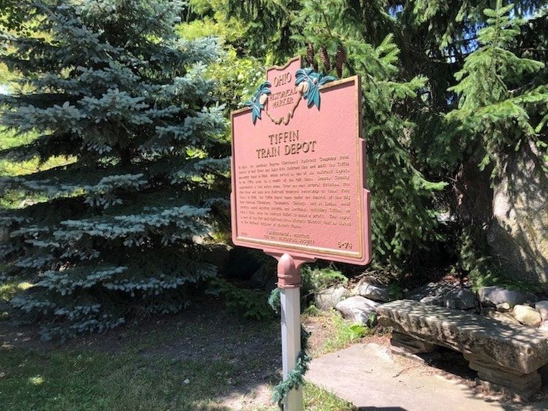
3. Tiffin Train Depot / Mad River and Lake Erie Railroad Marker
Photographed by Michael Baker
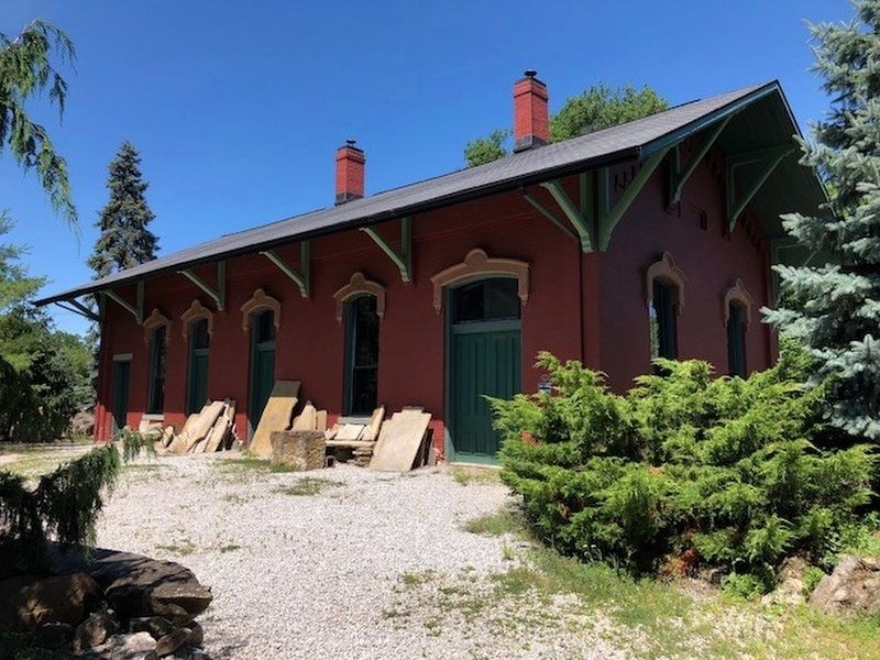
4. Tiffin Train Depot

Photographed by Craig Doda, April 2, 2022
5. Tiffin Train Depot
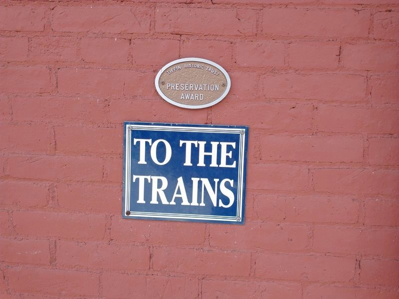
Photographed by Craig Doda, April 2, 2022
6. Tiffin Historic Trust Preservation Award Medallion
Credits. This page was last revised on April 17, 2022. It was originally submitted on July 10, 2018, by Michael Baker of Lima, Ohio. This page has been viewed 959 times since then and 55 times this year. Photos: 1, 2, 3, 4. submitted on July 10, 2018, by Michael Baker of Lima, Ohio. 5, 6. submitted on April 8, 2022, by Craig Doda of Napoleon, Ohio. • Andrew Ruppenstein was the editor who published this page.
