Near St. Peter in Nicollet County, Minnesota — The American Midwest (Upper Plains)
Norseland Community
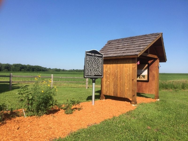
In 1854 the first settlers from Norway and Sweden arrived in the area. By 1858, the village of Norseland had formed, with the Norwegians gathering for church east of town and the Swedes to the west. That year, the Burke brothers opened a general store which came to include a post office and a barber shop. This store was later owned and operated by the Emil Swenson Family, until its closing in 2007. In 1872 Bernt Peterson started a blacksmith shop, soon sold to Anton Olson and son Ole Anthony. In 1896 the Norseland Cooperative Creamery was organized. By the 1930s there would be an implement dealer, auto dealer, feed mill, café, auto repair shop, locker plant, baseball team, band and tavern. Though economic and demographic changes of the 20th century gradually forced the closing of several businesses, Norseland remains the symbolic heart of the community.
Topics. This historical marker is listed in these topic lists: Industry & Commerce • Settlements & Settlers. A significant historical year for this entry is 1854.
Location. 44° 24.596′ N, 94° 6.742′ W. Marker is near St. Peter, Minnesota, in Nicollet County. Marker is on State Highway 22. Touch for map. Marker is at or near this postal address: 37615 MN-22, Saint Peter MN 56082, United States of America. Touch for directions.
Other nearby markers. At least 8 other markers are within 8 miles of this marker, measured as the crow flies. A different marker also named Norseland Community (a few steps from this marker); New Sweden Indian Attack (within shouting distance of this marker); a different marker also named Norseland Community (approx. 0.2 miles away); Norseland Lutheran Church (approx. 0.4 miles away); Scandian Grove Evangelical Lutheran Church (approx. 0.8 miles away); District 6 School (approx. 2.8 miles away); New Sweden Creamery (approx. 3.8 miles away); Old Traverse Cemetery (approx. 7.2 miles away). Touch for a list and map of all markers in St. Peter.
Credits. This page was last revised on July 11, 2018. It was originally submitted on July 10, 2018, by Ruth VanSteenwyk of Aberdeen, South Dakota. This page has been viewed 321 times since then and 41 times this year. Photos: 1, 2. submitted on July 10, 2018, by Ruth VanSteenwyk of Aberdeen, South Dakota. • Andrew Ruppenstein was the editor who published this page.

