Melrose in Alachua County, Florida — The American South (South Atlantic)
Melrose United Methodist Church
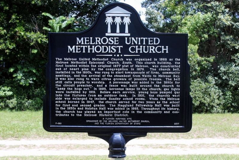
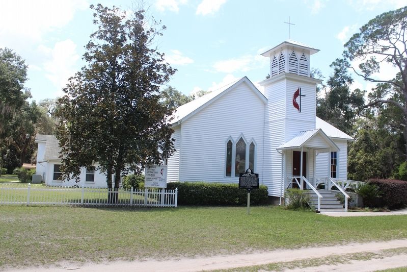
The Melrose United Methodist Church was organized in 1868 as the Melrose Methodist Episcopal Church, South. This church building, the first located within the original 1877 plat of Melrose, was constructed out of heart pine by the congregation in 1879. The church bell, installed in the 1890s, was rung to alert townspeople of fires, community meetings, and the arrival of the steamboat from Waldo to Melrose Bay. It was also rung to warn citrus growers of possible freezes. The bell still calls people to worship. A parsonage was added in the 1890s for the circuit preacher, and a fence was built around the church to “keep the hogs out.” In 1895, kerosene lamps lit the church; gas lights were installed by 1919. Before each service, young boys pumped gas into the fixtures from an outdoor tank. In 1931, the church’s west side was enlarged to include Sunday school rooms. When the Melrose school burned in 1947, the church served for two years as the school for first and second grades. The Hagglund Fellowship Hall was built in the 1950s and Holstun Hall was added in 1995. Throughout its history, the church has played an important role in the community and contributes to the Melrose Historic District.
Erected 2017 by The Melrose United Methodist Church and the Florida Department of State. (Marker Number F-981.)
Topics. This historical marker is listed in these topic lists: Churches & Religion • Settlements & Settlers. A significant historical year for this entry is 1868.
Location. 29° 42.519′ N, 82° 3.033′ W. Marker is in Melrose, Florida, in Alachua County. Marker is at the intersection of Pearl Street and Hampton Street, on the right when traveling east on Pearl Street. The Putman/Alachua County Line runs along the eastern side of the property. Touch for map. Marker is at or near this postal address: 5808 Hampton Street, Melrose FL 32666, United States of America. Touch for directions.
Other nearby markers. At least 8 other markers are within walking distance of this marker. Trinity Episcopal Church (about 700 feet away, measured in a direct line); Melrose (about 700 feet away); Melrose World War II Memorial (about 700 feet away); Melrose World War I Memorial (about 700 feet away); Melrose Civil War Memorial (about 800 feet away); Melrose Woman's Club (approx. 0.3 miles away); Melrose High School (approx. 0.4 miles away); Melrose Cemetery (approx. 0.4 miles away). Touch for a list and map of all markers in Melrose.
Also see . . . Melrose United Methodist, Melrose Florida. Church website homepage (Submitted on July 12, 2022, by Larry Gertner of New York, New York.)
Credits. This page was last revised on July 12, 2022. It was originally submitted on July 16, 2018, by Tim Fillmon of Webster, Florida. This page has been viewed 257 times since then and 41 times this year. Photos: 1, 2. submitted on July 16, 2018, by Tim Fillmon of Webster, Florida. • Bernard Fisher was the editor who published this page.

