Rodney in Jefferson County, Mississippi — The American South (East South Central)
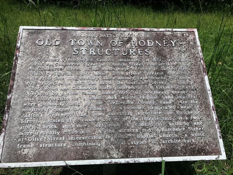
Old Town of Rodney - Structures
Windsor Battlefield Tour
Old Rodney Presbyterian Church, dedicated in 1832, is located north on Commerce Street at Church Street intersection. Also on Commerce Street at the south edge of town is Sacred Heart Catholic Church, built about 1869. Most present structures date from the late 19th century, since Rodney experienced two known fire tragedies in 1852 and 1869. On southeast corner of Rodney , Alcorn and Commerce Street intersection is Alston's Grocery operated by Alston family since 1915. On northeast corner of this intersection is a small park where regular band concerts were probably held by the "Jefferson County Band". On the northwest corner are remains of a wooden drugstore. West of Alston's Grocery, the lone surviving structure on Batchelor Street, located at southwest corner of the intersection, is a two story brick structure, originally a commercial building and more recently residence. At the western end of Batchelor Street at Olive Street intersection is Rodney Baptist Church, a white frame structure combining several styles of architecture.
Topics. This historical marker is listed in this topic list: Settlements & Settlers.
Location. 31° 51.779′ N, 91° 11.995′ W. Marker is in Rodney, Mississippi, in Jefferson County. Marker is on Muddy Bayou Road north of Rodney Road, on the right when traveling north. Touch for map. Marker is in this post office area: Lorman MS 39096, United States of America. Touch for directions.
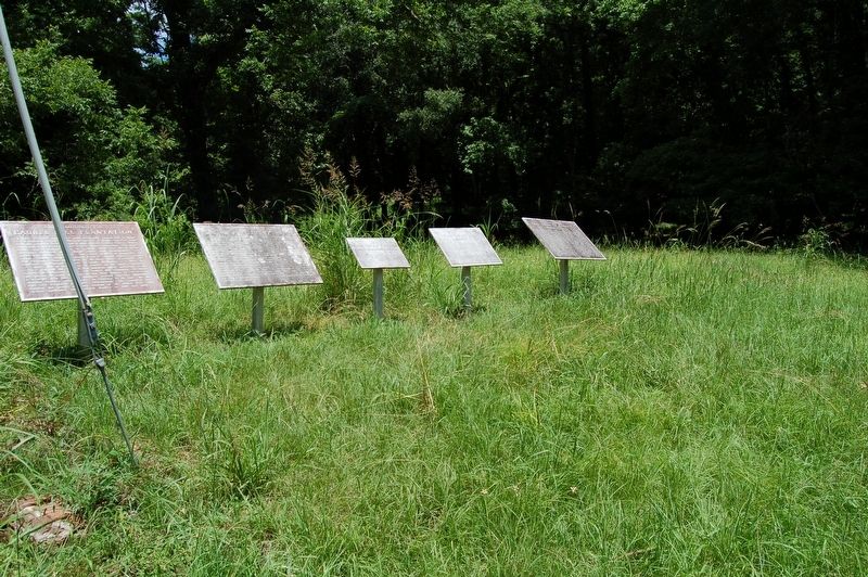
Other nearby markers. At least 8 other markers are within walking distance of this marker. Dr. Rush Nutt (1781-1837) (here, next to this marker); Old Town of Rodney (here, next to this marker); Old Rodney to Bruinsburg Road (here, next to this marker); Laurel Hill Plantation (here, next to this marker); Rodney Presbyterian Church (a few steps from this marker); Old Rodney Presbyterian Church (a few steps from this marker); Old Town of Rodney - Layout (within shouting distance of this marker); History of Rodney - Her Rise (within shouting distance of this marker). Touch for a list and map of all markers in Rodney.
Credits. This page was last revised on July 19, 2018. It was originally submitted on July 19, 2018, by Cajun Scrambler of Assumption, Louisiana. This page has been viewed 200 times since then and 19 times this year. Photos: 1, 2. submitted on July 19, 2018.

