Near Westbrook in Mitchell County, Texas — The American South (West South Central)
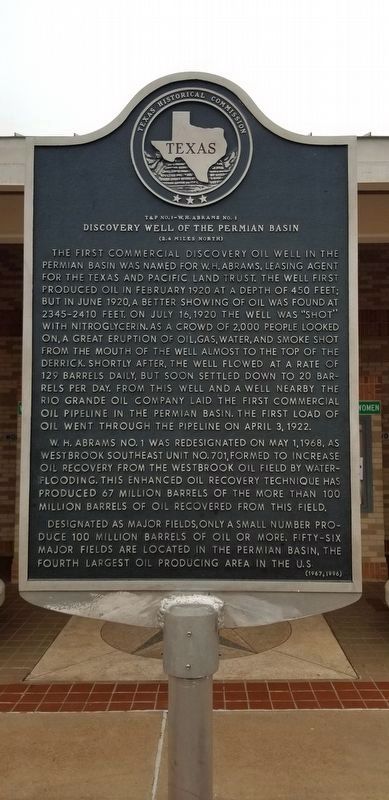
Discovery Well of the Permian Basin
The first commercial discovery oil well in the Permian Basin was named for W.H. Abrams, leasing agent for the Texas and Pacific land trust. The well first produced oil in February 1920 at a depth of 450 feet; but in June 1920, a better showing of oil was found at 2345-2410 feet. On July 16, 1920, the well was "shot" with nitroglycerin. As a crowd of 2,000 people looked on, a great eruption of oil, gas, water, and smoke shot from the mouth of the well almost to the top of the derrick. Shortly after, the well flowed at a rate of 129 barrels daily, but soon settled down to 20 barrels per day. From this well and a well nearby the Rio Grande Oil Company laid the first commercial oil pipeline in the Permian Basin. The first load of oil went through the pipeline on April 3, 1922. W.H. Abrams No. 1 was re-designated on May 1, 1968 as Westbrook southeast unit No. 701, formed to increase oil recovery from the Westbrook oil field by water flooding. This enhanced oil recovery technique has produced 67 million barrels of the more than 100 million barrels of oil recovered from this field. Designated as major fields, only a small number produce 100 million barrels of oil or more. Fifty-six major fields are located in the Permian Basin, the fourth largest oil producing area in the U.S.
Erected 1996 by Texas Historical Commission. (Marker Number 1230.)
Topics. This historical marker is listed in this topic list: Exploration. A significant historical month for this entry is February 1920.
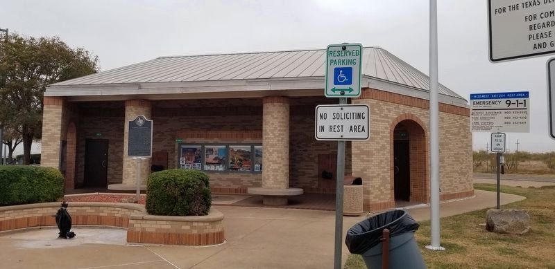
Location. 32° 20.581′ N, 101° 3.774′ W. Marker is near Westbrook, Texas, in Mitchell County. Marker can be reached from Interstate 20 at milepost 204, on the right when traveling west. Marker is in the west bound rest area. Touch for map. Marker is in this post office area: Westbrook TX 79565, United States of America. Touch for directions.
Other nearby markers. At least 8 other markers are within 12 miles of this marker, measured as the crow flies. We Will Remember (approx. 2˝ miles away); Site of First Westbrook School and Church (approx. 2˝ miles away); Union Methodist Church (approx. 6.8 miles away); Handley Cemetery (approx. 7.9 miles away); Site of Town of Cuthbert (approx. 9.8 miles away); Coleman Ranch Field Discovery Well (approx. 11 miles away); Col-Tex Refinery (approx. 11.4 miles away); Sites of Texas & Pacific Railway Depots (approx. 11.8 miles away). Touch for a list and map of all markers in Westbrook.
Credits. This page was last revised on November 22, 2020. It was originally submitted on July 19, 2018, by Bill Kirchner of Tucson, Arizona. This page has been viewed 324 times since then and 50 times this year. Photos: 1, 2. submitted on November 22, 2020, by James Hulse of Medina, Texas. 3. submitted on July 19, 2018, by Bill Kirchner of Tucson, Arizona.


