Indianola in Calhoun County, Texas — The American South (West South Central)
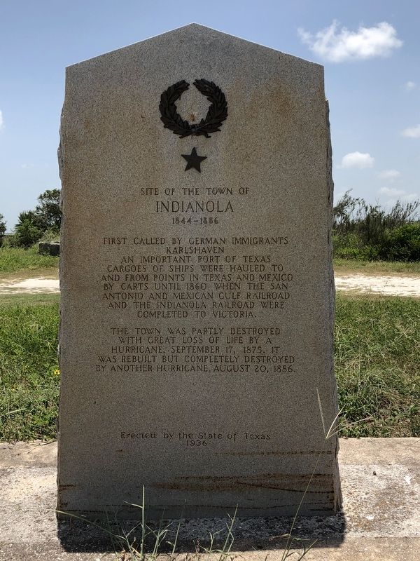
Site of the Town of Indianola
1844-1886
The town was partly destroyed with great loss of life by a hurricane, September 17, 1875. It was rebuilt but completely destroyed by another hurricane, August 20, 1886.
Erected 1936 by State of Texas. (Marker Number 4938.)
Topics and series. This historical marker is listed in these topic lists: Disasters • Settlements & Settlers. In addition, it is included in the Texas 1936 Centennial Markers and Monuments series list. A significant historical date for this entry is August 20, 1886.
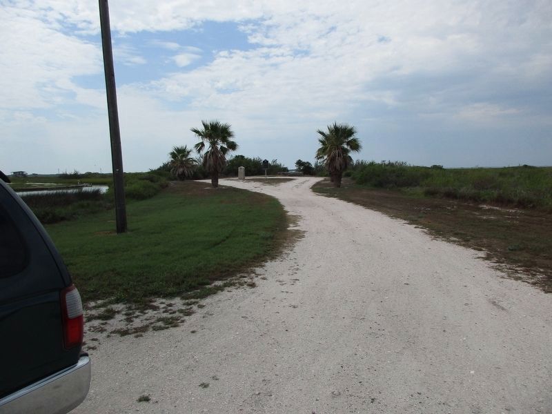
Location. 28° 31.129′ N, 96° 29.803′ W. Marker is in Indianola, Texas, in Calhoun County. Marker can be reached from South Ocean Drive, 0.1 miles south of Channel Drive, on the right when traveling south. Marker is located in a pullout 150 ft off the road. Touch for map. Marker is in this post office area: Port Lavaca TX 77979, United States of America. Touch for directions.
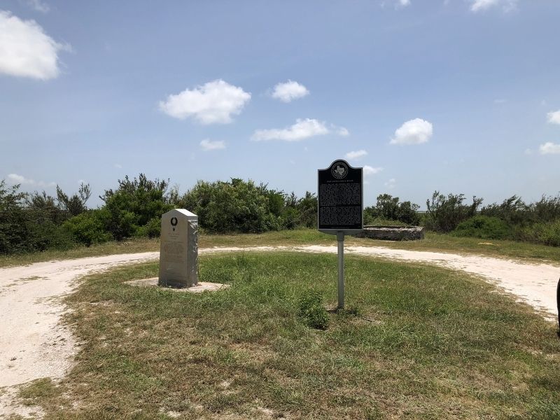
Other nearby markers. At least 8 other markers are within 2 miles of this marker, measured as the crow flies. The Chihuahua Road (here, next to this marker); Calhoun County Courthouse (within shouting distance of this marker); Sgt. William Henry Barnes (approx. ¾ mile away); Ed Bell (approx. ¾ mile away); Indianola Cemetery (approx. ¾ mile away); Rene Robert Cavelier Sieur de la Salle (approx. 0.9 miles away); Indianola (approx. one mile away); The Great Camel Experiment (approx. 1½ miles away). Touch for a list and map of all markers in Indianola.
Also see . . . Indianola, TX - The Handbook of Texas Online. Texas State Historical Association (TSHA) (Submitted on July 23, 2018, by Brian Anderson of Humble, Texas.)
Credits. This page was last revised on August 30, 2023. It was originally submitted on July 23, 2018, by Brian Anderson of Humble, Texas. This page has been viewed 401 times since then and 16 times this year. Photos: 1, 2. submitted on July 23, 2018, by Brian Anderson of Humble, Texas. 3. submitted on August 29, 2023, by Jeff Leichsenring of Garland, Texas. • Bernard Fisher was the editor who published this page.


