Deadwood in Lawrence County, South Dakota — The American Midwest (Upper Plains)
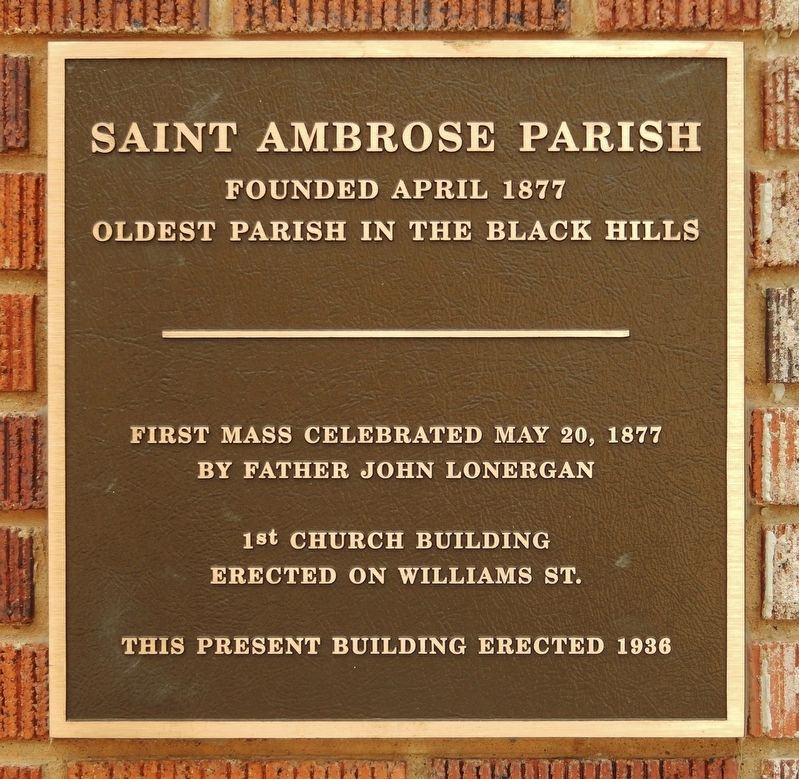
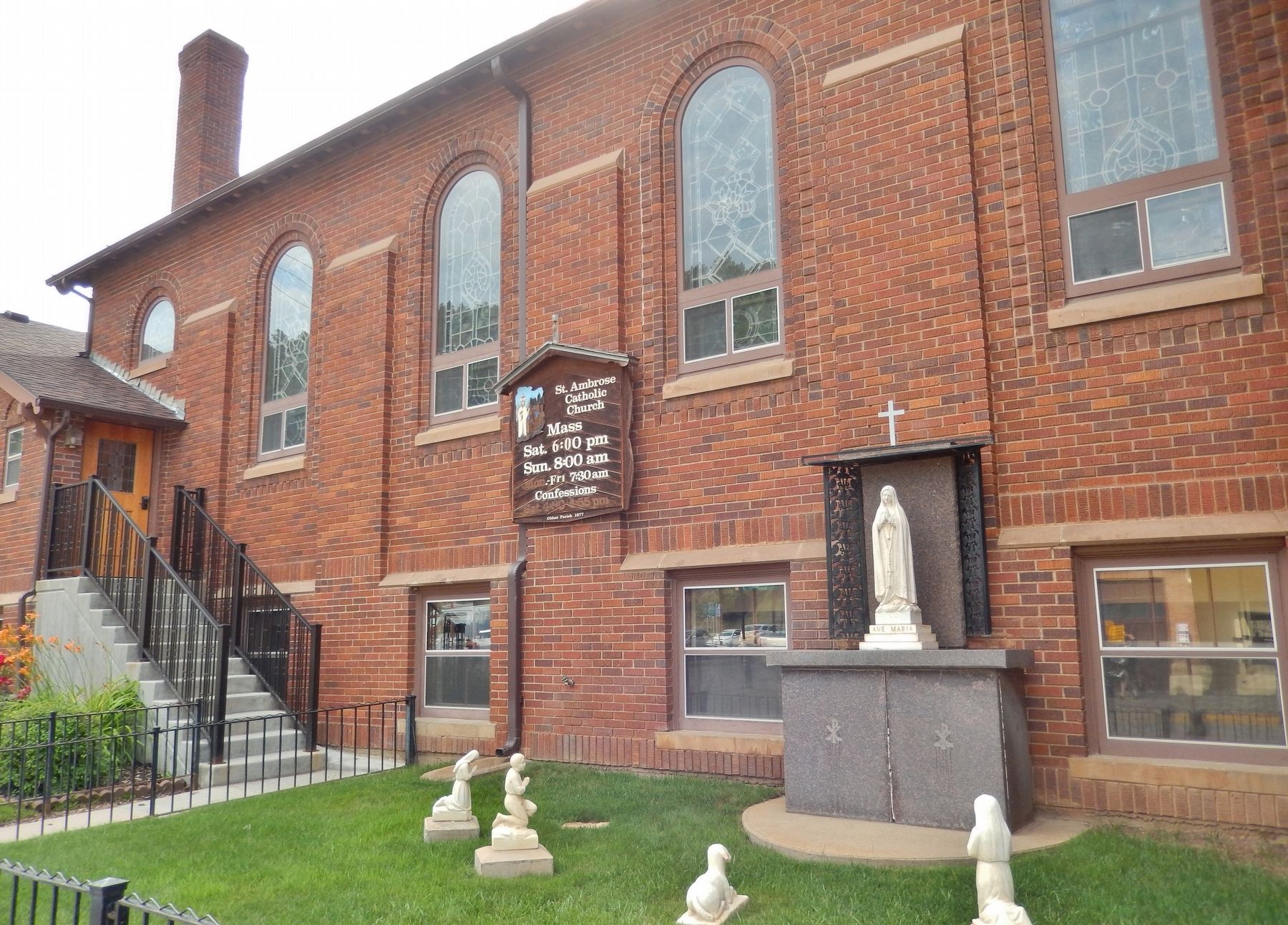
Saint Ambrose Parish
Founded April 1877
— Oldest Parish in the Black Hills —
by Father John Lonergan
1st church building
erected on Williams St.
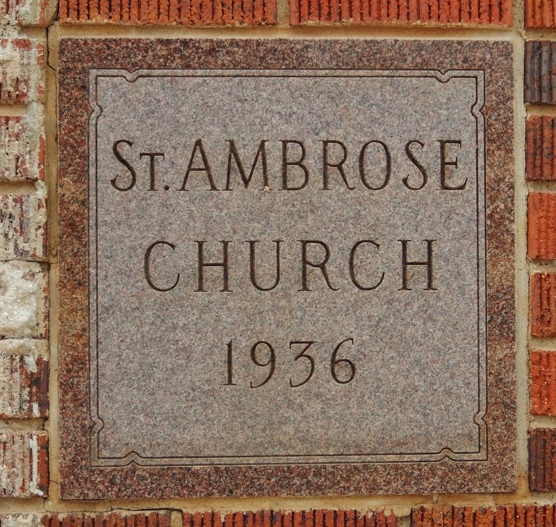
This present building erected 1936
Topics. This historical marker is listed in this topic list: Churches & Religion. A significant historical year for this entry is 1877.
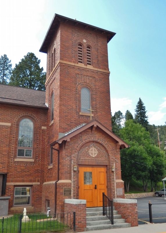
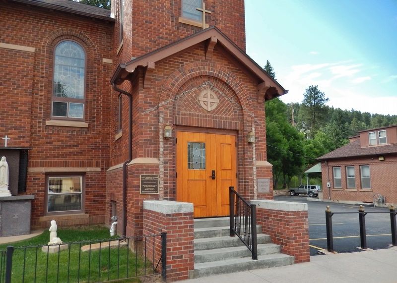
Location. 44° 22.473′ N, 103° 43.963′ W. Marker is in Deadwood, South Dakota, in Lawrence County. Marker is on Main Street north of Armory Street, on the left when traveling north. Marker is a large metal plaque, mounted at eye-level, directly on the subject building, just to the left of the Main Street entrance. Touch for map. Marker is at or near this postal address: 760 Main Street, Deadwood SD 57732, United States of America. Touch for directions.
Other nearby markers. At least 8 other markers are within walking distance of this marker. Upper Main Street (within shouting distance of this marker); Deadwood Changing -- 1884, 1909 and Now (about 400 feet away, measured in a direct line); Spanish-American War Memorial (about 400 feet away); School District #02 (about 400 feet away); Serving the Black Hills (about 500 feet away); Gold Discovery in the Great Sioux Reservation (about 600 feet away); Bonanza in the Hills (about 600 feet away); Riches from Mud (about 600 feet away). Touch for a list and map of all markers in Deadwood.
Credits. This page was last revised on December 16, 2020. It was originally submitted on August 2, 2018, by Cosmos Mariner of Cape Canaveral, Florida. This page has been viewed 168 times since then and 25 times this year. Photos: 1. submitted on August 2, 2018, by Cosmos Mariner of Cape Canaveral, Florida. 2, 3, 4, 5. submitted on August 3, 2018, by Cosmos Mariner of Cape Canaveral, Florida. • Andrew Ruppenstein was the editor who published this page.
