Near Winchester in Lewis County, Idaho — The American West (Mountains)
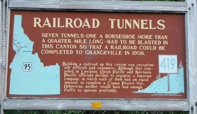
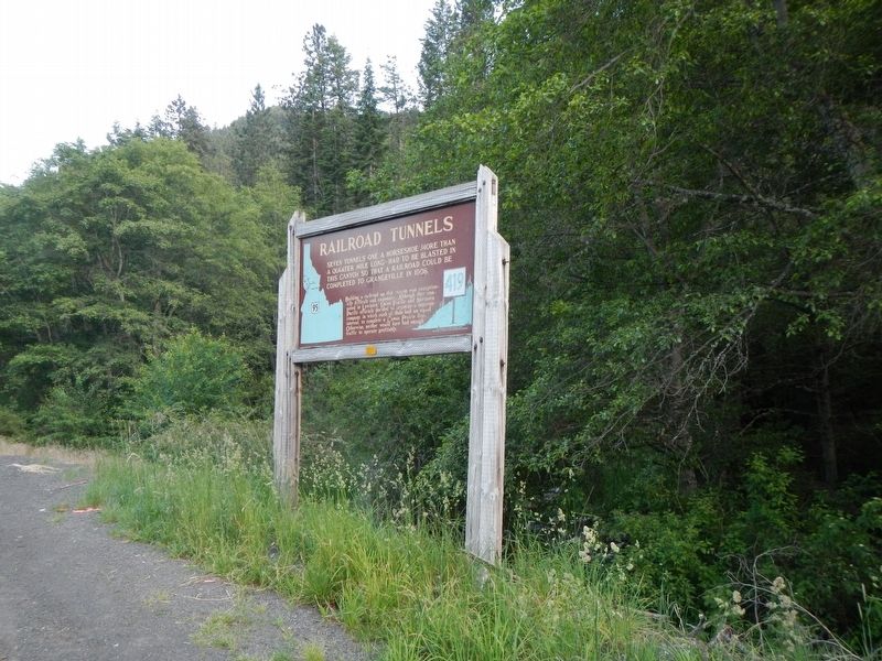
Railroad Tunnels
Building a railroad up this canyon was exceptionally difficult and expensive. Although they competed in Lewiston, Union Pacific and Northern Pacific officials decided to organize a separate company, in which each of them had an equal interest, to complete a Camas Prairie line. Otherwise, neither would have had enough traffic to operate profitably.
Erected by Idaho Department of Transportation. (Marker Number 419.)
Topics and series. This historical marker is listed in this topic list: Railroads & Streetcars. In addition, it is included in the Idaho State Historical Society series list. A significant historical year for this entry is 1908.
Location. 46° 19.92′ N, 116° 35.868′ W. Marker is near Winchester, Idaho, in Lewis County. Marker is on U.S. 95 at milepost 286, on the left when traveling north. Touch for map. Marker is in this post office area: Winchester ID 83555, United States of America. Touch for directions.
Other nearby markers. At least 8 other markers are within 13 miles of this marker, measured as the crow flies. Culdesac (approx. 4˝ miles away); St. Joseph's Mission (approx. 6.6 miles away); William Craig (approx. 8.4 miles away); Craig Donation Claim (approx. 8.4 miles away); Craigmont (approx. 8.8 miles away); a different marker also named Craigmont (approx. 9˝ miles away); Lenore Tram (approx. 12.3 miles away); Indian Houses (approx. 12.4 miles away).
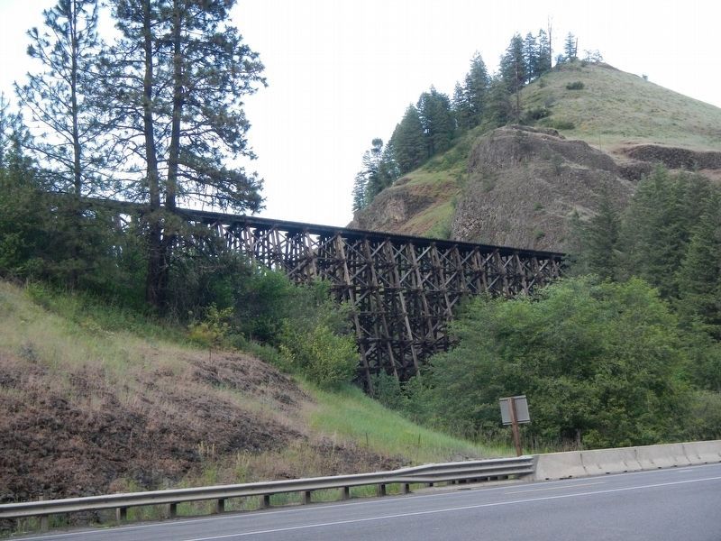
Also see . . . Camas Prairie Railroad -- American-Rails.com. ...it was a paper company which owned none of its own equipment. ...To railfans and historians the Camas Prairie is legendary for its numerous tunnels, high timber trestles (earning it the name as the railroad on stilts), and overall breathtaking scenery of the Pacific Northwest. (Submitted on August 6, 2018, by Barry Swackhamer of Brentwood, California.)
Credits. This page was last revised on August 6, 2018. It was originally submitted on August 6, 2018, by Barry Swackhamer of Brentwood, California. This page has been viewed 633 times since then and 61 times this year. Photos: 1, 2, 3. submitted on August 6, 2018, by Barry Swackhamer of Brentwood, California.


