Salyersville in Magoffin County, Kentucky — The American South (East South Central)
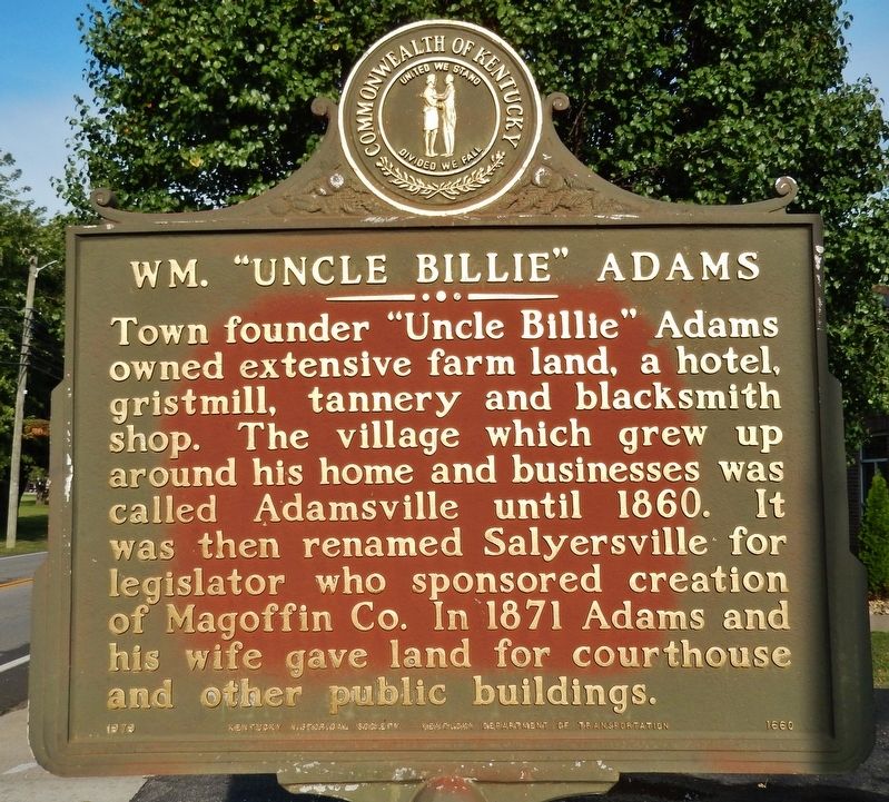
Wm. "Uncle Billie" Adams
Erected 1979 by Kentucky Historical Society, Kentucky Department of Transportation. (Marker Number 1660.)
Topics and series. This historical marker is listed in this topic list: Settlements & Settlers. In addition, it is included in the Kentucky Historical Society series list. A significant historical year for this entry is 1871.
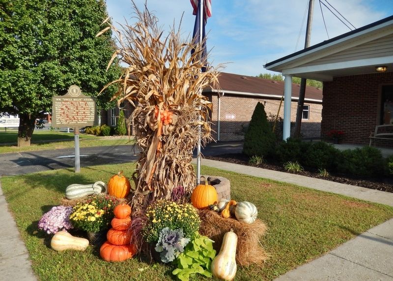
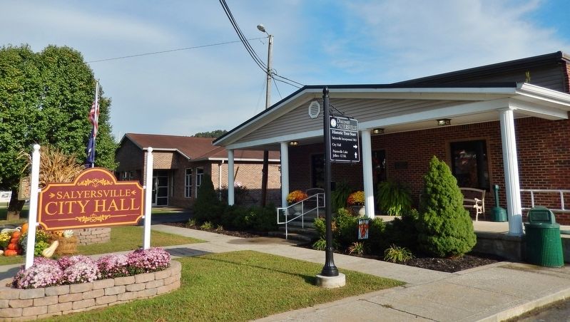
Location. 37° 45.156′ N, 83° 4.049′ W. Marker is in Salyersville, Kentucky, in Magoffin County. Marker is on Maple Street (Kentucky Route 40) east of Coal Branch Road, on the right when traveling east. Marker is located on the Salyersville City Hall grounds, near the sidewalk, between City Hall and the Salyersville Post Office. Touch for map. Marker is at or near this postal address: 444 Maple Street, Salyersville KY 41465, United States of America. Touch for directions.
Other nearby markers. At least 8 other markers are within 15 miles of this marker, measured as the crow flies. County Named, 1860 (within shouting distance of this marker); Legends in Blue and Gray (about 700 feet away, measured in a direct line); First Settlement (approx. ¾ mile away); Ivy Point Skirmishes (approx. 0.8 miles away); a different marker also named First Settlement (approx. 0.9 miles away); Reuben Patrick Grave (approx. 4.3 miles away); Civil War Action (approx. 8.2 miles away); Boone Salt Springs (approx. 14.4 miles away). Touch for a list and map of all markers in Salyersville.
Also see . . . Early History of Salyersville, Kentucky. Originally known as Prater's Fort, the community had become Licking Station by the time of its first post office in 1839. In 1849, the post office was moved to the community at site of the present city and renamed Adamsville after local landowner William "Uncle Billy" Adams. In addition to his farmland, Adams operated a hotel, a gristmill, a tannery and a blacksmith at the new location. In 1860, Magoffin County was formed from parts of the surrounding Floyd, Johnson, and Morgan counties. Billy Adams donated land for the platting and establishment of a new county seat and the community was renamed "Salyersville" in gratitude to State Rep. Samuel Salyer, who sponsored the bill creating the new county. (Submitted on August 8, 2018, by Cosmos Mariner of Cape Canaveral, Florida.)
Credits. This page was last revised on March 29, 2021. It was originally submitted on August 8, 2018, by Cosmos Mariner of Cape Canaveral, Florida. This page has been viewed 445 times since then and 52 times this year. Photos: 1, 2, 3. submitted on August 8, 2018, by Cosmos Mariner of Cape Canaveral, Florida. • Andrew Ruppenstein was the editor who published this page.


