Gray in Terrebonne Parish, Louisiana — The American South (West South Central)
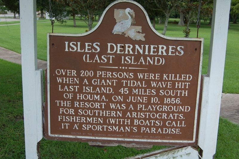
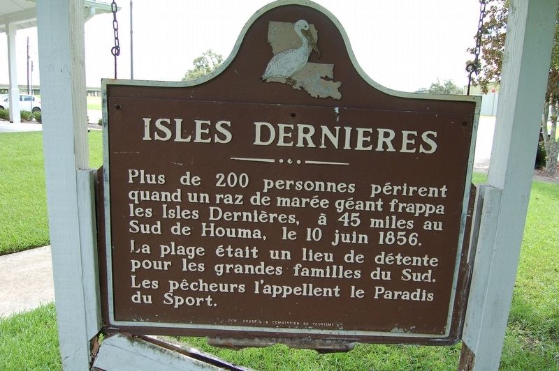
Isles Dernieres
(Last Island)
Francais:
Erected 1959 by The Louisiana Department of Commerce and Industry (Don: Codofil & Commission du Tourisme).
Topics. This historical marker is listed in this topic list: Disasters. A significant historical date for this entry is June 10, 1856.
Location. 29° 40.669′ N, 90° 47.175′ W. Marker has been reported damaged. Marker is in Gray, Louisiana, in Terrebonne Parish. Marker is on Tourist Drive south of Frontage Road A, on the right when traveling south. Touch for map. Marker is at or near this postal address: 114 Tourist Drive, Gray LA 70359, United States of America. Touch for directions.
Other nearby markers. At least 8 other markers are within 7 miles of this location, measured as the crow flies. Mysteries of the Wetlands (here, next to this marker); Tomb Of Henry Schuyler Thibodaux (approx. 0.3 miles away); Wallace J. Thibodaux (approx. 1.7 miles away); Sugar Row Plantations (approx. 2.7 miles away); Southdown High School (approx. 6.4 miles away); Orange Grove (approx. 6.4 miles away); Battle Of Lafourche Crossing (approx. 6.4 miles away); St. Charles Borromeo Church (approx. 6½ miles away). Touch for a list and map of all markers in Gray.
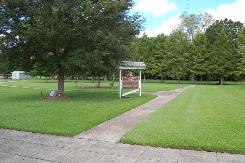
More about this marker. Located on the grounds of the Houma Travel Tourist center.
Additional commentary.
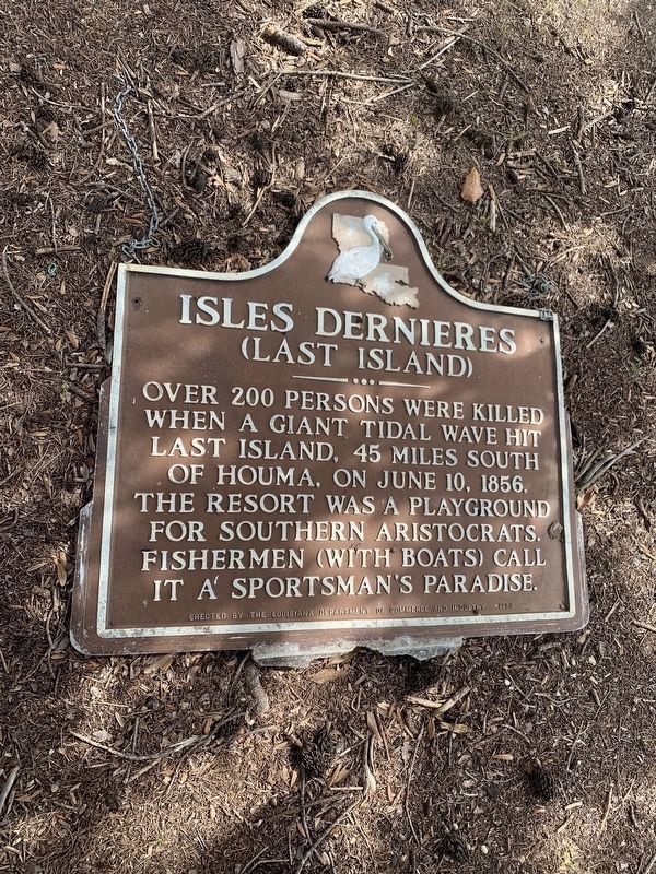
1. Hard to find
This market is on the ground in a cluster of trees just south of its original location. Note To Editor only visible by Contributor and editor
— Submitted March 7, 2020, by Russell Johnson of Houma, Louisiana.
Credits. This page was last revised on November 23, 2023. It was originally submitted on August 9, 2018, by Cajun Scrambler of Assumption, Louisiana. This page has been viewed 375 times since then and 36 times this year. Photos: 1, 2, 3. submitted on August 9, 2018. 4. submitted on March 7, 2020, by Russell Johnson of Houma, Louisiana.


