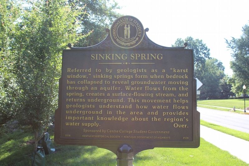
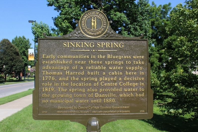
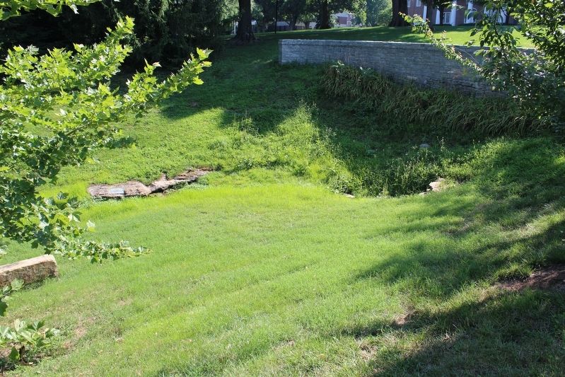
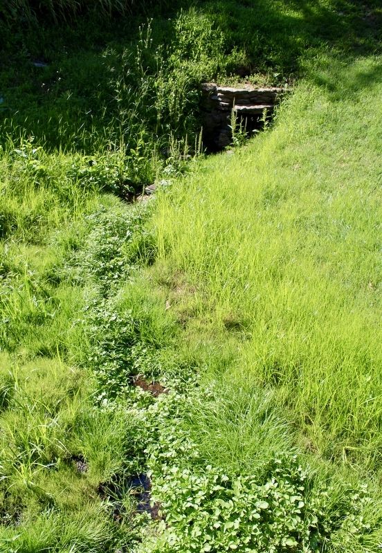
Sinking Spring
Early communities in the Bluegrass were established near these springs to take advantage of a reliable water supply. Thomas Harrod build a cabin here in 1776. And the spring payed a decisive role in the location of Centre College in 1819. The spring also provided water to the growing town of Danville, which had no municipal water until 1880.
Sponsored by Centre College Student Government.
Erected 2016 by Kentucky Historical Society & Kentucky Department of Highways. (Marker Number 2508.)
Topics and series. This historical marker is listed in this topic list: Natural Resources. In addition, it is included in the Kentucky Historical Society series list. A significant historical year for this entry is 1776.
Location. 37° 38.776′ N, 84° 46.823′ W. Marker is in Danville, Kentucky, in Boyle County. Marker is on West Main Street, on the
Other nearby markers. At least 8 other markers are within walking distance of this marker. Centre College (within shouting distance of this marker); Old Centre (about 400 feet away, measured in a direct line); Dr. Ephraim McDowell, 1771-1830 / McDowell-Crawford Surgery (about 600 feet away); C.S.A. 1861 - 1865 (about 700 feet away); Old Carnegie (about 700 feet away); John Todd Stuart, 1807-1885 (about 800 feet away); Presbyterian Church (approx. 0.2 miles away); "Uncle" Charlie Moran (approx. 0.2 miles away). Touch for a list and map of all markers in Danville.
Credits. This page was last revised on August 14, 2018. It was originally submitted on August 12, 2018, by Tom Bosse of Jefferson City, Tennessee. This page has been viewed 375 times since then and 61 times this year. Photos: 1, 2, 3. submitted on August 12, 2018, by Tom Bosse of Jefferson City, Tennessee. 4. submitted on August 14, 2018, by Tom Bosse of Jefferson City, Tennessee. • Andrew Ruppenstein was the editor who published this page.


