French Quarter in Charleston in Charleston County, South Carolina — The American South (South Atlantic)
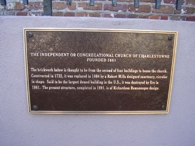
The Independent or Congregational Church of Charlestown
Founded 1681
— American Presbyterian and Reformed Historical Site —
Inscription.
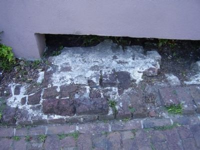
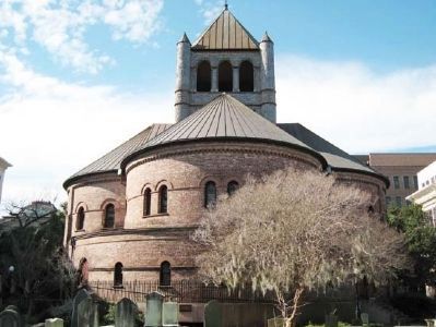
The brickwork below is thought to be from the second of four buildings to house the church.
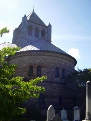
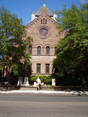
Constructed in 1732, it was replaced in 1804 by a Robert Mills designed sanctuary, circular in shape. Said to be the largest domed building in the U.S., it was destroyed by fire in 1861. The present structure, completed in 1891, is of Richardson Romanesque design. (Marker Number 195.)
Topics and series. This historical marker is listed in this topic list: Churches & Religion. In addition, it is included in the American Presbyterian and Reformed Historic Sites, and the National Historic Landmarks series lists. A significant historical year for this entry is 1732.
Location. 32° 46.739′ N, 79° 55.847′ W. Marker is in Charleston, South Carolina, in Charleston County. It is in the French Quarter. Marker is on Meeting Street. The Marker can't be seen from the road it is around back of the Church. Touch for map. Marker is in this post office area: Charleston SC 29401, United States of America. Touch for directions.
Other nearby markers. At least 8 other markers are within walking distance of this marker. Josiah Flagg (within shouting distance of this marker); Charleston Gas Light Company (within shouting distance of this marker); Carolina Art Association / James S. Gibbes Memorial Art Gallery (within shouting distance of this marker); Ordinance of Secession (within shouting distance of this marker); Institute Hall / "The Union Is Dissolved!" (within shouting distance of this marker); Richard Hutson (within shouting distance of this marker); Trott's Cottage (about 300 feet away, measured in a direct line); The Nicholas Trott House (about 300 feet away). Touch for a list and map of all markers in Charleston.
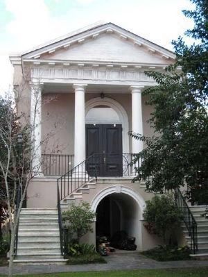
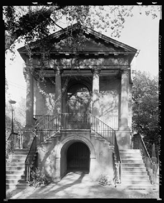
Regarding The Independent or Congregational Church of Charlestown. The Parish House of the Circular Congregational Church, which sits next to the current church, was listed in the National Historical Landmark survey on November 7, 1973.
Circular Congregational Church was listed in the National Register of Historic Places in 1973. This church is also one of 445 American Presbyterian and Reformed Historical Sites registered between 1973 and 2003 by the Presbyterian Historical Society (PHS), headquartered in Philadelphia. Approved sites received a metal plaque featuring John Calvin’s seal and the site’s registry number (PHS marker location unknown).
The following text is taken from the Presbyterian Historical Society website:
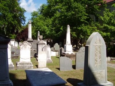
The Circular Church was organized in the 1680s by Scottish Presbyterians, French Huguenots, and English Congregationalists. A meeting house built on this site was the center of worship for many leaders in Colonial American life, including three governors of South Carolina and Rev. William Tennent III, pastor from 1772 to 1777. In 1806, the congregation erected a circular building, designed by Robert Mills, architect of the Washington Monument. That church burned in the great fire of 1861. The present building, and the fourth on the site, was constructed in 1891. The churchyard contains the oldest tombstones in Charleston. The congregation is now affiliated with the United Church of Christ and the Presbyterian Church (USA).
Also see . . .
1. South Carolina Department of Archives and History. (Submitted on February 7, 2010, by Michael Sean Nix of Spartanburg, South Carolina.)
2. National Park Service Quick Facts. (Submitted on August 16, 2018, by Douglass Halvorsen of Klamath Falls, Oregon.)
Credits. This page was last revised on February 16, 2023. It was originally submitted on May 21, 2009, by Stanley and Terrie Howard of Greer, South Carolina. This page has been viewed 1,144 times since then and 38 times this year. Last updated on August 16, 2018, by Douglass Halvorsen of Klamath Falls, Oregon. Photos: 1, 2, 3, 4. submitted on May 21, 2009, by Stanley and Terrie Howard of Greer, South Carolina. 5, 6. submitted on February 7, 2010, by Michael Sean Nix of Spartanburg, South Carolina. 7. submitted on January 2, 2012, by Mike Stroud of Bluffton, South Carolina. 8. submitted on May 21, 2009, by Stanley and Terrie Howard of Greer, South Carolina. • Bernard Fisher was the editor who published this page.
