Near Bonners Ferry in Boundary County, Idaho — The American West (Mountains)
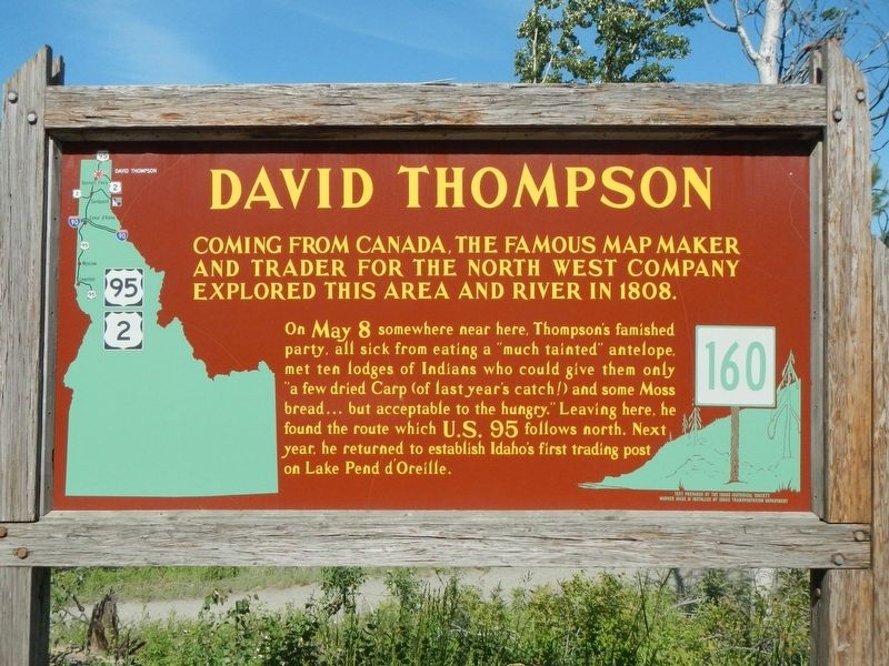
David Thompson
On May 8 somewhere near here, Thompson's famished party, all sick from eating a "much tainted" antelope, met ten lodges of Indians who could give them only "a few dried Carp (of last year's catch!) and some Moss bread...but acceptable to the hungry." Leaving here, he found the route which US 95 follows north. Next year, he returned to establish Idaho's first trading post on Lake Pend d'Oreille.
Erected by Idaho Department of Transportation. (Marker Number 160.)
Topics and series. This historical marker is listed in this topic list: Exploration. In addition, it is included in the Idaho State Historical Society series list. A significant historical date for this entry is May 8, 1808.
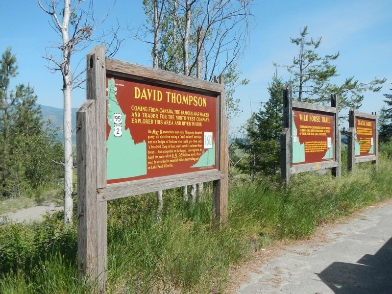
Location. 48° 39.144′ N, 116° 20.712′ W. Marker is near Bonners Ferry, Idaho, in Boundary County. Marker is on U.S. 95 at milepost 504 near Deep Creek Loop (State Highway 2), on the left when traveling north. Touch for map. Marker is in this post office area: Bonners Ferry ID 83805, United States of America. Touch for directions.
Other nearby markers. At least 8 other markers are within 4 miles of this marker, measured as the crow flies. Wild Horse Trail (a few steps from this marker); Glacial Lakes (a few steps from this marker); Electrifying Bonners Ferry (approx. 3˝ miles away); Solving Power Problems (approx. 3˝ miles away); Railroad Laborers (approx. 3˝ miles away); Spokane International Railway (approx. 3˝ miles away); Kootenai Valley Railway (approx. 3˝ miles away); Great Northern Railway 1892 (approx. 3˝ miles away). Touch for a list and map of all markers in Bonners Ferry.
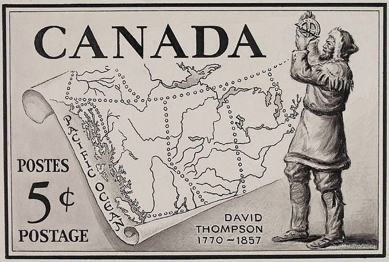
Also see . . . Thompson, David -- Dictionary of Canadian Biography. ...his true stature as one of Canada’s greatest explorers and geographers was completely unrecognized until Joseph Burr Tyrrell* began his campaign in the 1880s to give him his due. It was only when Tyrrell obtained the manuscript in the 1890s and edited it for publication by the Champlain Society in 1914 that David Thompson’s narrative, covering Thompson’s career up to his retirement in Montreal in 1812, became public. (Submitted on August 20, 2018, by Barry Swackhamer of Brentwood, California.)
Credits. This page was last revised on August 25, 2018. It was originally submitted on August 20, 2018, by Barry Swackhamer of Brentwood, California. This page has been viewed 436 times since then and 65 times this year. Photos: 1, 2, 3. submitted on August 20, 2018, by Barry Swackhamer of Brentwood, California.


