Wiggins in Stone County, Mississippi — The American South (East South Central)
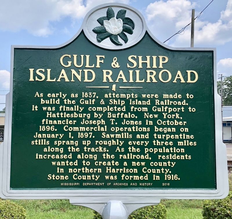
Gulf & Ship Island Railroad
Erected 2016 by Mississippi Department of Archives and History.
Topics and series. This historical marker is listed in these topic lists: Industry & Commerce • Railroads & Streetcars. In addition, it is included in the Mississippi State Historical Marker Program series list. A significant historical date for this entry is January 1, 1897.
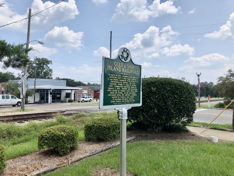
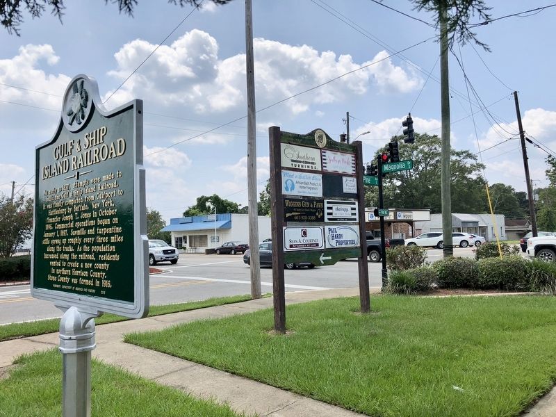
Location. 30° 51.476′ N, 89° 8.291′ W. Marker is in Wiggins, Mississippi, in Stone County. Marker is at the intersection of South Magnolia Drive (Mississippi Route 29) and East Pine Avenue, on the right when traveling north on South Magnolia Drive. Touch for map. Marker is at or near this postal address: 199 South Magnolia Drive, Wiggins MS 39577, United States of America. Touch for directions.
Other nearby markers. At least 8 other markers are within 2 miles of this marker, measured as the crow flies. City of Wiggins (about 600 feet away, measured in a direct line); Stone County War Memorial (approx. 0.2 miles away); Stone County Courthouse (approx. ¼ mile away); Gulf and Ship Island Railroad Depot (approx. ¼ mile away); Professor W.P. Locker (approx. 0.6 miles away); Flint Creek Post Office (approx. 1.4 miles away); Stone County (approx. 1.7 miles away); Jay Hanna "Dizzy" Dean (approx. 1.7 miles away). Touch for a list and map of all markers in Wiggins.
Also see . . . Wikipedia article on the Gulf & Ship Island Railroad. (Submitted on August 24, 2018, by Mark Hilton of Montgomery, Alabama.)
Credits. This page was last revised on August 24, 2018. It was originally submitted on August 24, 2018, by Mark Hilton of Montgomery, Alabama. This page has been viewed 277 times since then and 30 times this year. Photos: 1, 2, 3. submitted on August 24, 2018, by Mark Hilton of Montgomery, Alabama.


