Near Kooskia in Idaho County, Idaho — The American West (Mountains)
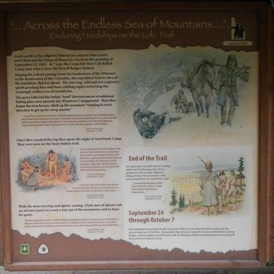
"...Across the Endless Sea of Mountains..."
Enduring Hardships on the Lolo Trail
Inscription.
Look north to the ridgeline behind you and see what Lewis and Clark and the Corps of Discovery faced on the morning of September 15, 1805. At 7 a.m. the Corps left their Colt Killed Camp near what is now the Powell Ranger Station.
Hoping for a short portage from the headwaters of the Missouri to the headwaters of the Columbia, the expedition had no idea of the hardships that lay ahead. The starving, cold and wet explorers spent grueling days and bone-chilling nights traversing the seemingly endless sea of mountains.
The party followed the Indian “road” downstream to a traditional fishing place near present-day Wendover Campground. They they began a treacherous climb up the mountain “winding in every direction to get up the steep assents.”
“...Several horses Sliped and roled down Steep Hills which hurt them verry much. The one which Carried my desk & Small trunk Turned over & roled down a mountain for 40 yards & lodged against a tree, broke the Desk and horse escaped and appeared but little hurt Some other verry much hurt, from this point I observed a range of high mountains Covered with Snow from SE. to SW with Their top bald or void of timber.” Captain William Clark, September 15, 1805.
Once they reached the top they spent the night at Snowbank Camp. They were now on the main Indian trail.
“we travvelled untill after dark in hopes to find water, but could not find any. we found Some Spots of Snow so we Camped on the top of the Mountain... we drank a little portable Soup and lay down without any thing else to Satisfy our hunger. cloudy and cold this mountain and all these Mountains are covered thick with different kinds of pine timber...” Sergeant John Ordway, September 15, 1805
“...I have been wet and as Cold in every part as I ever was in my life, indeed I was at one time fearfull my feet would freeze in the thin Mockirsons which I wore,..." Captain William Clark, September 16, 1805
With the men starving and spirits waning, Clark moved ahead with an advance party to scout a way out of the mountains and to hunt for game.
“The want of provisions together with the dificuely of passing those emence mountains dampened the Spirits of the party which induced us to resort to Some plan of reviving their Sperits. I deturmined to take a party of the hunters and proceed on in advance to Some leavel Country, where there was game kill Some meat & Send it back...” Captain William Clark, September 18, 1805.
On September 20, Clark and his hunting party met the Nimiipuu (Nez Perce) people on what
is today called the Weippe Prairie. The remainder of the party joined them on September 22nd.
“...proceeded on through a butifull Countrey for three miles to a Small Plain in which I found maney Indian lodges...” Captain William Clark, September 20, 1805
The Expedition descended into the Clearwater Valley. For ten days they built canoes near the present-day town of Orofino. During their stay at Canoe Camp, the Corps nourished their starving bodies, cached supplies and left horses with the Nimiipuu before completing the westward leg of their journey in dugout canoes.
Erected by U.S. Forest Service, Clearwater National Forest.
Topics and series. This historical marker is listed in this topic list: Exploration. In addition, it is included in the Lewis & Clark Expedition series list. A significant historical date for this entry is September 15, 1805.
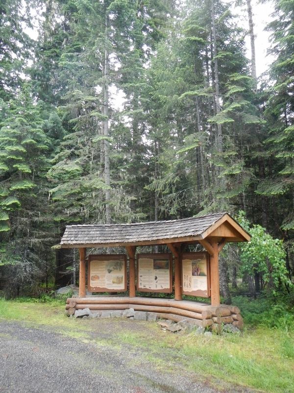
Location. 46° 30.642′ N, 114° 47.046′ W. Marker is near Kooskia, Idaho, in Idaho County. Marker is on U.S. 12 at milepost 158 near Forest Road 1684, on the left when traveling west. Touch for map. Marker is in this post office area: Kooskia ID 83539, United States of America. Touch for directions.
Other nearby markers. At least 8 other markers are within 11 miles of this marker, measured as the crow flies. "...Observe the face of the country..." (here, next to this marker); Songs Of Sadness On This Sacred Path (a few steps from this marker); Whitehouse Pond (approx. ¼ mile away); Lewis and Clark Route (approx. 3 miles away); Welcome to Colgate Licks (approx. 8.1 miles away); Indian Post Office (approx. 10 miles away); Checkerboard Legacy (approx. 10½ miles away); Lolo Trail Crossing (approx. 10.6 miles away). Touch for a list and map of all markers in Kooskia.
More about this marker. The marker is near the Wendover Campground.
Credits. This page was last revised on September 11, 2018. It was originally submitted on September 11, 2018, by Barry Swackhamer of Brentwood, California. This page has been viewed 232 times since then and 23 times this year. Photos: 1, 2. submitted on September 11, 2018, by Barry Swackhamer of Brentwood, California.

