Sainte-Anne-de-Beaupre in La Côte-de-Beaupré, Québec — Central Canada (French-Canadian)
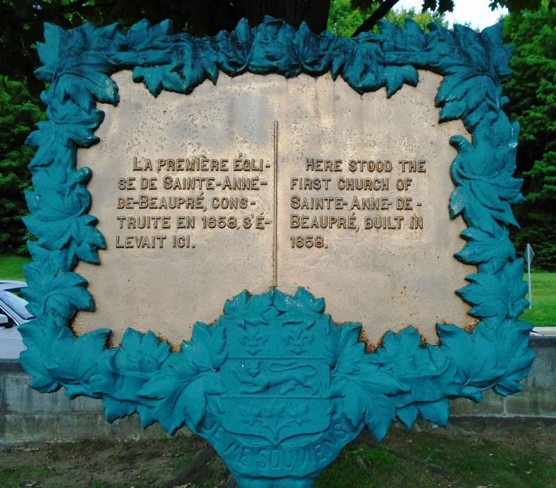
La première église de Sainte-Anne-de-Beaupré
The First Church of Sainte-Anne-de-Beaupré
Inscription.
construite en 1658, s'élevait ici.
—————————————
Here stood the first church of
Sainte-Anne-de-Beaupré, built in 1658.
Erected by Government of Quebec.
Topics. This historical marker is listed in this topic list: Churches & Religion. A significant historical year for this entry is 1859.
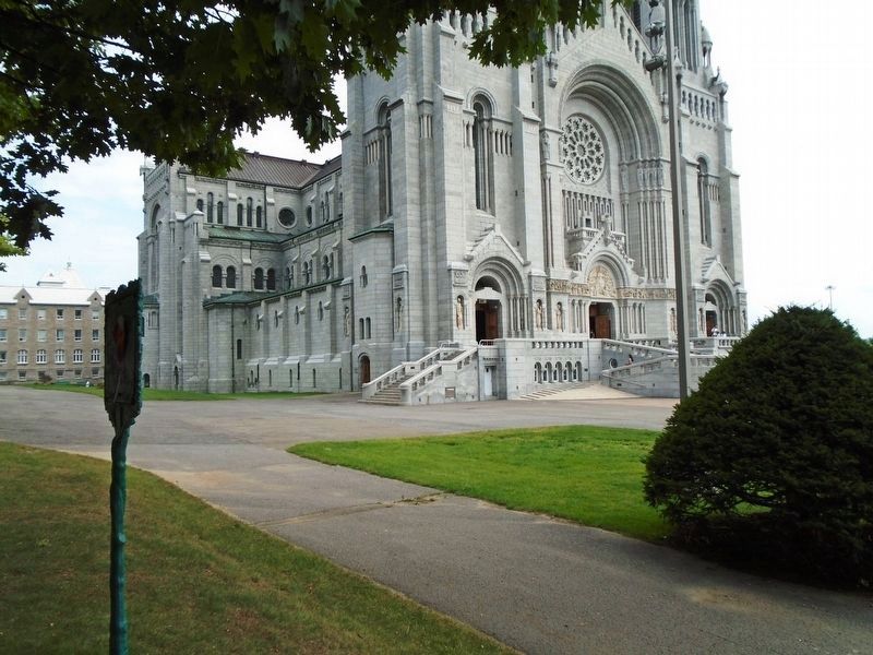
Location. 47° 1.444′ N, 70° 55.772′ W. Marker is in Sainte-Anne-de-Beaupre, Québec, in La Côte-de-Beaupré. Marker is on avenue Royale (Québec Route 360) just east of rue du Sanctuaire, on the right when traveling east. Marker is on the Sanctuaire Sainte-Anne-de-Beaupré grounds. Touch for map. Marker is at or near this postal address: 10018 avenue Royale, Sainte-Anne-de-Beaupre QC G0A 3C0, Canada. Touch for directions.
Other nearby markers. At least 8 other markers are within 19 kilometers of this marker, measured as the crow flies. Honneur À Médéric Blouin 1641-1707 (approx. 9.4 kilometers away); La salinite de l'eau / The Water Salinity (approx. 17.8 kilometers away); Grosse-Île-et-le-Mémorial-des-Irlandais (approx. 17.8 kilometers away); Les naufrages dans le secteur / Shipwrecks in the Sector (approx. 17.8 kilometers away); Le phare de l'îlet Bellechasse / The l'Îlet Bellechasee Lighthouse (approx. 17.8 kilometers away); Le quai et la Villégiature / The Quay and Village Life (approx. 17.8 kilometers away); Hameau Dunière-Dénéchaud (approx. 17.8 kilometers away); La seigneurie de Berthier / The Seigniory of Berthier (approx. 18.6 kilometers away).
Also see . . .
1. Sanctuaire-Shrine Sainte-Anne-de-Beaupré. (Submitted on September 17, 2018, by William Fischer, Jr. of Scranton, Pennsylvania.)
2. Sainte-Anne-de-Beaupré at Wikipedia. (Submitted on September 17, 2018, by William Fischer, Jr. of Scranton, Pennsylvania.)
Credits. This page was last revised on January 23, 2022. It was originally submitted on September 17, 2018, by William Fischer, Jr. of Scranton, Pennsylvania. This page has been viewed 189 times since then and 33 times this year. Photos: 1, 2. submitted on September 17, 2018, by William Fischer, Jr. of Scranton, Pennsylvania.

