Herndon in Christian County, Kentucky — The American South (East South Central)
Pennyrile Rural Electric Cooperative Corporation
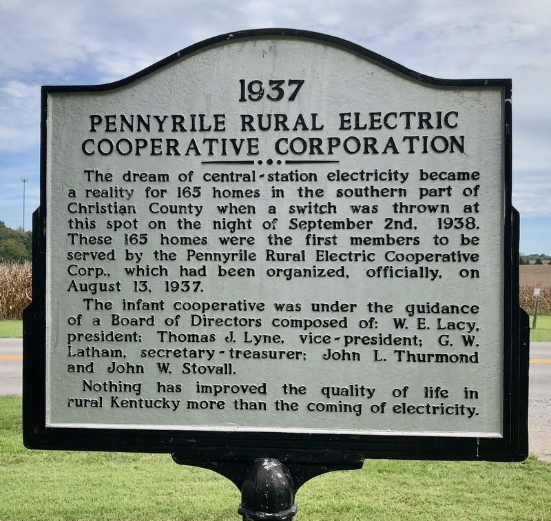
1937
Inscription.
The dream of central-station electricity became a reality for 165 homes in the southern part of Christian County when a switch was thrown at this spot on the night of September 2nd, 1938. These 165 homes were the first members to be served by the Pennyrile Rural Electic Cooperative Corp., which had been organized, officially, on August 13, 1937.
The infant cooperative was under the guidance of a Board of Directors composed of: W.E. Lacy, president; Thomas J. Lyne, vice president; G.W. Latham, secretary-treasurer; John L. Thurmond and John W. Stovall.
Nothing has improved the quality of life in rural Kentucky more than the coming of electricity.
Erected by the ennyrile Rural Electric Cooperative Corporation.
Topics and series. This historical marker is listed in these topic lists: Industry & Commerce • Notable Places. In addition, it is included in the Rural Electrification 💡 series list. A significant historical date for this entry is August 13, 1937.
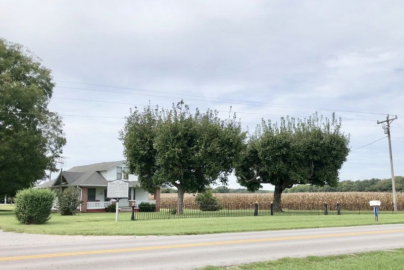
Location. 36° 44.213′ N, 87° 33.769′ W. Marker is in Herndon, Kentucky, in Christian County. Marker is at the intersection of Lafayette Road (Kentucky Route 107) and Herndon Street, on the left when traveling north on Lafayette Road. Touch for map. Marker is at or near this postal address: 10499 Lafayette Road, Herndon KY 42236, United States of America. Touch for directions.
Other nearby markers. At least 8 other markers are within 10 miles of this marker, measured as the crow flies. U.S. Vice President (approx. ¾ mile away); Genoa (approx. 2.1 miles away); No-Tillage Farming (approx. 2.6 miles away); Church Hill Grange House (approx. 4.4 miles away); Trail of Tears Indian Camping Grounds (approx. 9.4 miles away); The Trail of Tears (approx. 9.4 miles away); Judge Joseph Crockett House (approx. 9½ miles away); Cherokee "Trail of Tears" (approx. 9½ miles away). Touch for a list and map of all markers in Herndon.
Credits. This page was last revised on February 28, 2022. It was originally submitted on September 22, 2018, by Mark Hilton of Montgomery, Alabama. This page has been viewed 194 times since then and 12 times this year. Photos: 1, 2. submitted on September 22, 2018, by Mark Hilton of Montgomery, Alabama.

