Soda Springs in Caribou County, Idaho — The American West (Mountains)
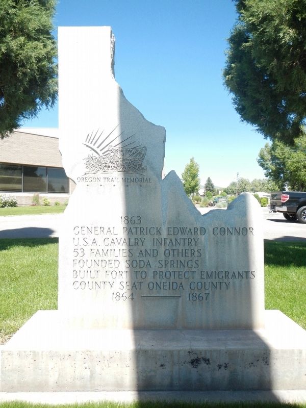
General Patrick Edward Connor
Oregon Trail Memorial
— 1863 —
53 families and others
Founded Soda Springs
Built fort to protect emigrants
County seat Oneida County 1864 ---- 1867
Topics. This historical marker is listed in these topic lists: Forts and Castles • Settlements & Settlers.
Location. 42° 39.292′ N, 111° 36.21′ W. Marker is in Soda Springs, Idaho, in Caribou County. Marker is at the intersection of South Main Street and East 2nd South, on the left when traveling south on South Main Street. Touch for map. Marker is at or near this postal address: 189 South Main Street, Conda ID 83230, United States of America. Touch for directions.
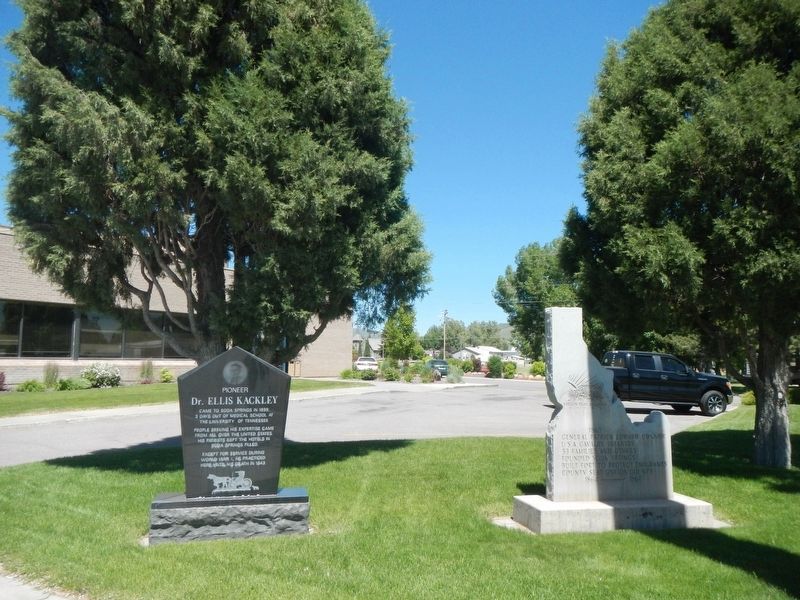
Other nearby markers. At least 8 other markers are within walking distance of this marker. Dr. Ellis Kackley (here, next to this marker); Memories of Conda - a company community (within shouting distance of this marker); Conda Mine - A phosphate fortune unearthed (within shouting distance of this marker); Coach History (about 300 feet away, measured in a direct line); Hooper Spring (about 400 feet away); The Dinkey Engine (about 500 feet away); Ground Observer Corps National Campaign (about 700 feet away); Caribou Mountain (about 800 feet away). Touch for a list and map of all markers in Soda Springs.
Credits. This page was last revised on October 9, 2018. It was originally submitted on October 9, 2018, by Barry Swackhamer of Brentwood, California. This page has been viewed 171 times since then and 18 times this year. Photos: 1, 2. submitted on October 9, 2018, by Barry Swackhamer of Brentwood, California.

